Thurgoland in the Domesday Book (1086)
The 1086 Domesday survey records the settlement of Thurgoland, entered under the hundred of Staincross in Yorkshire.
Other Settlements in Staincross
- Adlingfleet
- Barnby [Hall]
- Barnsley
- Barugh
- Brierley
- Carlton
- Cawthorne
- Chevet
- Clactone
- Clayton [West]
- Darton
- Dodworth
- Hemsworth
- Hoyland [Swaine]
The Meaning of the Name
The origin of the name Thurgoland is not securely established from its modern form alone; like many settlement names in the North it likely combines an Old English or Old Norse personal name with a landscape term.
Remarkably, the name has changed little since 1086, when the Domesday scribes wrote it as Thurgoland.
Listed Buildings Near Thurgoland
Historic England records 18 listed buildings within about a mile of Thurgoland. Listing protects structures of special architectural or historic interest, graded I (exceptional), II* (particularly important) and II.
Grade I
- Wortley Top Forge - 0.62 km
Grade II*
- Huthwaite Hall - 1.23 km
Grade II
- Sharp Ford Bridge - 0.54 km
- Sharp Ford Bridge - 0.54 km
- Milepost at Mill Moor Plantation - 0.55 km
- Deer Paddock at Forge Croft - 0.55 km
- Top Forge Cottage - 0.61 km
- Two Cottages Adjoining and to South of Wortley Top Forge - 0.63 km
- Forge Bridge - 0.71 km
- Forge Bridge - 0.72 km
- Holy Trinity Church - 0.97 km
- Well Hill Farmhouse - 0.99 km
- Numbers 1 and 2 Well Houses - 1.03 km
- Brew House Huthwaite Farmhouse Garage Old Brewhouse - 1.24 km
- Farm Building at North End of Farmyard at Huthwaite Farm - 1.26 km
- Farmbuilding Approximately 3 Metres South West of Huthwaite Farmhouse - 1.27 km
- Former Stable Range Approximately 10 Metres West of Huthwaite Farmhouse - 1.28 km
- Thurgoland Wire Works at River Mill Farm - 1.3 km
Scheduled Monuments Near Thurgoland
Scheduled monuments are nationally important archaeological sites given legal protection. 2 lie within roughly a mile of Thurgoland:
- Wortley Top Forge - 0.51 km
- Water powered bloomery, iron forge and rolling mill at Low Forge - 1.07 km
Thurgoland Today
Today Thurgoland lies within the administrative area of Barnsley, and the settlement recorded a population of 1,991 at the 2021 census. Nine and a half centuries separate that figure from the small rural community the Domesday survey recorded here in 1086.
Read more about modern Thurgoland on Wikipedia .
Nearby Domesday Settlements
Other places recorded in the 1086 survey within a few miles:
- Wortley - 1.4 km SE
- Hunshelf Hall - 2.2 km SW
- Clactone - 2.8 km NW
- Oxspring - 2.8 km NW
- Roughbirchworth - 3.2 km W
- Stainborough Castle - 3.6 km NE
Heritage Around Thurgoland
Photographs of churches, listed buildings and monuments in the vicinity, contributed by volunteers to the Geograph project and reused here under a Creative Commons licence.
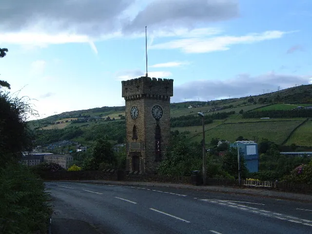
© Robin Phillips · Geograph · CC BY-SA 2.0
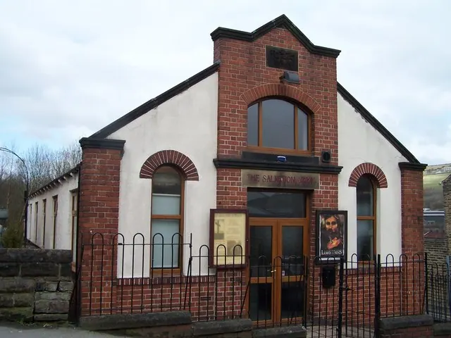
© Terry Robinson · Geograph · CC BY-SA 2.0
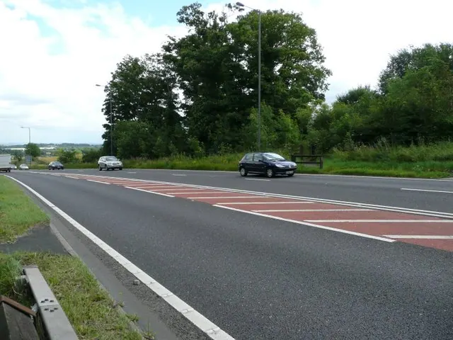
© Wendy North · Geograph · CC BY-SA 2.0
Images © their respective photographers, licensed under CC BY-SA 2.0 and reused here with attribution. Photographs depict listed buildings, churches and monuments near this settlement and may show neighbouring villages.
Data derived from the Open Domesday project (opendomesday.org), based on the Domesday Book dataset compiled by Professor J.J.N. Palmer and team. The Domesday Book (1086) is in the public domain.
Found an inaccuracy? [email protected]