Thulston in the Domesday Book (1086)
Thulston is named in the Domesday Book, compiled by Norman commissioners in 1086, entered under the hundred of Litchurch in Derbyshire.
Other Settlements in Litchurch
- Allestree
- Alvaston
- Ambaston
- Arleston
- Aston [-on-Trent]
- Barrow [-upon-Trent]
- Bearwardcote
- Boulton
- Burnaston
- Chellaston
- Cottons
- Dalbury
- Egginton
- Elvaston
The Meaning of the Name
The name Thulston is of Anglo-Saxon origin. Its final element derives from the Old English word tūn, a farmstead or village. The first element is most likely a personal name or an early descriptive term, now difficult to recover with certainty. Taken together the name probably meant something close to ‘a farmstead’.
Remarkably, the name has changed little since 1086, when the Domesday scribes wrote it as Thulston.
Listed Buildings Near Thulston
Historic England records 9 listed buildings within about a mile of Thulston. Listing protects structures of special architectural or historic interest, graded I (exceptional), II* (particularly important) and II.
Grade II
- London Road Lodge Entrance Gates - 0.33 km
- Kiosk Cottage - 0.57 km
- Milepost at Sk 414 315 South of Thulston Grange - 0.8 km
- Thurlaston Grange - 0.82 km
- Milepost at Sk 399 321 - 0.97 km
- Elvaston War Memorial - 1.03 km
- Golden Gates and Attached Walls at Elvaston Castle - 1.12 km
- The Clock House - 1.17 km
- Village Hall and Attached House - 1.18 km
Scheduled Monuments Near Thulston
Scheduled monuments are nationally important archaeological sites given legal protection. 1 lies within roughly a mile of Thulston:
Thulston Today
Today Thulston lies within the administrative area of Elvaston.
Nearby Domesday Settlements
Other places recorded in the 1086 survey within a few miles:
Heritage Around Thulston
Photographs of churches, listed buildings and monuments in the vicinity, contributed by volunteers to the Geograph project and reused here under a Creative Commons licence.
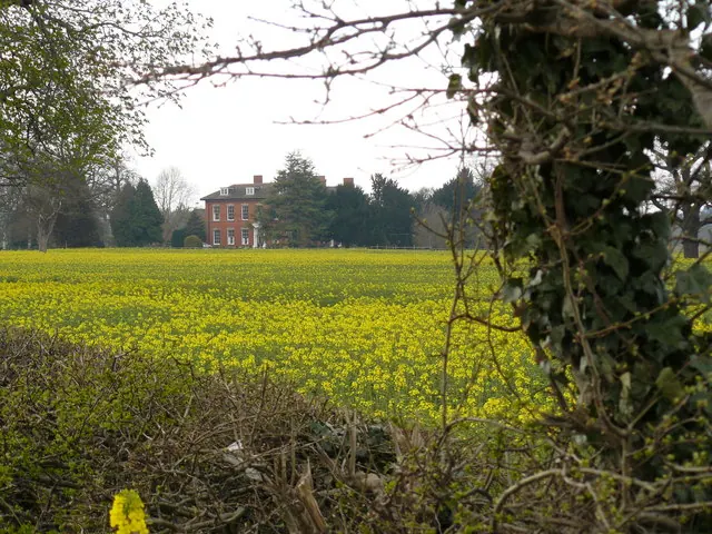
© Andy Jamieson · Geograph · CC BY-SA 2.0
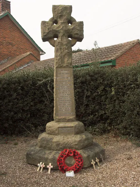
© Jerry Evans · Geograph · CC BY-SA 2.0
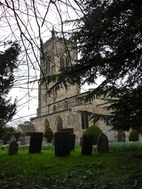
© Andy Jamieson · Geograph · CC BY-SA 2.0
Images © their respective photographers, licensed under CC BY-SA 2.0 and reused here with attribution. Photographs depict listed buildings, churches and monuments near this settlement and may show neighbouring villages.
Data derived from the Open Domesday project (opendomesday.org), based on the Domesday Book dataset compiled by Professor J.J.N. Palmer and team. The Domesday Book (1086) is in the public domain.
Found an inaccuracy? [email protected]