Threshfield in the Domesday Book (1086)
Threshfield appears in the Domesday Book of 1086, entered under the hundred of Craven in Yorkshire.
Other Settlements in Craven
- Addingham
- Airton
- Anley
- Appletreewick
- Arncliffe
- Arnford
- Barnoldswick
- Bashall [Eaves]
- Battersby [Barn]
- Beamsley
- Birkby [Hall]
- Bogeuurde
- Bolton [Abbey]
- Bolton [by Bowland]
The Meaning of the Name
The name Threshfield is of Anglo-Saxon origin. Its final element derives from the Old English word feld, open country. The first element is most likely a personal name or an early descriptive term, now difficult to recover with certainty. Taken together the name probably meant something close to ‘a open land’.
Remarkably, the name has changed little since 1086, when the Domesday scribes wrote it as Threshfield.
Listed Buildings Near Threshfield
Historic England records 22 listed buildings within about a mile of Threshfield. Listing protects structures of special architectural or historic interest, graded I (exceptional), II* (particularly important) and II.
Grade II
- The Old Hall - 0.31 km
- Threshfield Bridge - 0.31 km
- Manor House Barn - 0.36 km
- K6 Telephone Kiosk - 0.36 km
- Stocks - 0.38 km
- The Manor House - 0.38 km
- No 1 the Old Post Office, and 2 and 3, Main Street - 0.39 km
- Park Grange Farmhouse - 0.42 km
- Toft House - 0.44 km
- Guide Stone at Junction With Skythornes Lane - 0.46 km
- Roman Catholic Church of St Margaret Clitheroe - 0.76 km
- Bell Bank - 0.85 km
- Moss House and Attached Outbuilding - 0.93 km
- Threshfield School - 1.15 km
- Linton House - 1.19 km
- Lane House - 1.22 km
- Bridge End Farmhouse - 1.22 km
- Ladywell Cottage - 1.23 km
- Tythe Barn - 1.23 km
- Grassington Bridge - 1.26 km
- Linton Hall - 1.27 km
- White Abbey - 1.27 km
Scheduled Monuments Near Threshfield
Scheduled monuments are nationally important archaeological sites given legal protection. 5 lie within roughly a mile of Threshfield:
- Threshfield Henge 2 (southern) - 0.78 km
- Prehistoric unenclosed hut circle settlement and associated field system at Little Wood - 0.89 km
- Threshfield Henge 1 (northern) - 0.9 km
- Hydro-electric power house and associated weir 250m north west of Tin Bridge - 1.32 km
- Redmayne packhorse bridge - 1.35 km
Threshfield Today
Today Threshfield lies within the administrative area of Craven, and the settlement recorded a population of 923 at the 2021 census. Nine and a half centuries separate that figure from the small rural community the Domesday survey recorded here in 1086.
Read more about modern Threshfield on Wikipedia .
Nearby Domesday Settlements
Other places recorded in the 1086 survey within a few miles:
Heritage Around Threshfield
Photographs of churches, listed buildings and monuments in the vicinity, contributed by volunteers to the Geograph project and reused here under a Creative Commons licence.
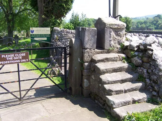
© Joe Regan · Geograph · CC BY-SA 2.0
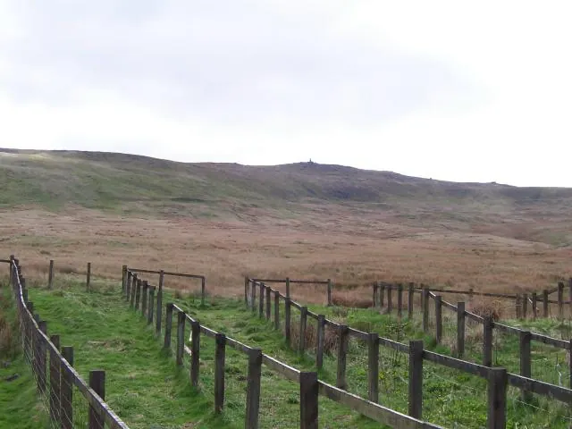
© Joe Regan · Geograph · CC BY-SA 2.0
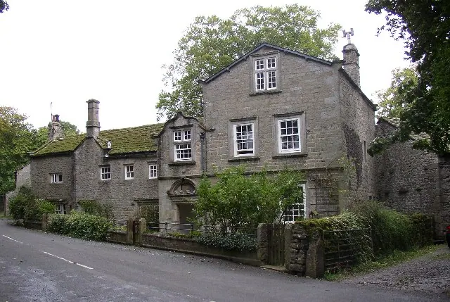
© Humphrey Bolton · Geograph · CC BY-SA 2.0
Images © their respective photographers, licensed under CC BY-SA 2.0 and reused here with attribution. Photographs depict listed buildings, churches and monuments near this settlement and may show neighbouring villages.
Data derived from the Open Domesday project (opendomesday.org), based on the Domesday Book dataset compiled by Professor J.J.N. Palmer and team. The Domesday Book (1086) is in the public domain.
Found an inaccuracy? [email protected]