Threlfall's Farm in the Domesday Book (1086)
Threlfall’s Farm is named in the Domesday Book, compiled by Norman commissioners in 1086, entered under the hundred of Amounderness in Yorkshire.
Other Settlements in Amounderness
- Aighton
- Aldcliffe
- Aldingham
- Arkholme
- Aschebi
- Ashton [Hall]
- Ashton [on Ribble]
- Austwick
- Barbon
- Bardsea
- Bare
- Barnoldswick
- Barton
- Beetham
The Meaning of the Name
The origin of the name Threlfall’s Farm is not securely established from its modern form alone; like many settlement names in the North it likely combines an Old English or Old Norse personal name with a landscape term.
Remarkably, the name has changed little since 1086, when the Domesday scribes wrote it as Threlfall’s Farm.
Listed Buildings Near Threlfall’s Farm
Historic England records 10 listed buildings within about a mile of Threlfall’s Farm. Listing protects structures of special architectural or historic interest, graded I (exceptional), II* (particularly important) and II.
Grade II*
- Parish Church of St John the Baptist - 1.3 km
Grade II
- The Stone House - 0.46 km
- Pudding Pie Nook - 0.46 km
- Slaters Farmhouse - 0.95 km
- Barn Circa 25 Metres East of Slaters Farmhouse - 0.97 km
- Pinfold in corner of field to south of 442, Garstang Road - 1.25 km
- Mounting block situated to the south side of Church Cottage Museum - 1.26 km
- Church Cottage Museum - 1.26 km
- Broughton Church of England Primary School - 1.28 km
- Milestone on West Side of Road Circa 50 Metres North of Helms Farm - 1.29 km
Nearby Domesday Settlements
Other places recorded in the 1086 survey within a few miles:
- Whittingham Hall - 1.4 km NE
- Broughton - 1.4 km SW
- Newsham - 2.2 km NW
- Goosnargh - 2.2 km NE
- Barton - 2.8 km NW
- Haighton Hall - 4.0 km E
Heritage Around Threlfall's [Farm]
Photographs of churches, listed buildings and monuments in the vicinity, contributed by volunteers to the Geograph project and reused here under a Creative Commons licence.
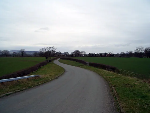
© Keith Wright · Geograph · CC BY-SA 2.0
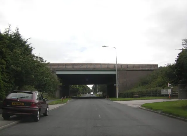
© Peter Bond · Geograph · CC BY-SA 2.0
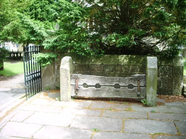
© Alexander P Kapp · Geograph · CC BY-SA 2.0
Images © their respective photographers, licensed under CC BY-SA 2.0 and reused here with attribution. Photographs depict listed buildings, churches and monuments near this settlement and may show neighbouring villages.
Data derived from the Open Domesday project (opendomesday.org), based on the Domesday Book dataset compiled by Professor J.J.N. Palmer and team. The Domesday Book (1086) is in the public domain.
Found an inaccuracy? [email protected]