Thorpefield in the Domesday Book (1086)
The settlement of Thorpefield is recorded in William I’s Domesday survey of 1086, entered under the hundred of Yarlestre in Yorkshire. The survey assessed Thorpefield at 5 carucates of taxable land.
At the time of the survey, Thorpefield supported a recorded population of 12 villagers, 17 smallholders, 4 slaves, 1 freeman, working 6 ploughs between them.
By 1086 Thorpefield was worth 8.2 shillings, up from 6 shillings before the Conquest – a sign this community came through the Conquest without being ruined.
Resources Recorded at Thorpefield (1086)
- Mills: 2 mills
- Cattle: 5
- Pigs: 25
- Sheep: 180
- Horses (cobs): 2
- Meadow: 4 acres
- Woodland: 15 pigs
Other Settlements in Yarlestre
- Arden [Hall]
- Asenby
- Bagby
- Baxby
- Bergebi
- Berghebi
- Bernebi
- Boltby
- Breckenbrough
- Carlton [Husthwaite]
- Carlton [Miniott]
- Catton
- Coxwold
- Crakehill
The Meaning of the Name
The name Thorpefield is of Anglo-Saxon origin. Its final element derives from the Old English word feld, open country. The first element is most likely a personal name or an early descriptive term, now difficult to recover with certainty. Taken together the name probably meant something close to ‘a open land’.
Remarkably, the name has changed little since 1086, when the Domesday scribes wrote it as Thorpefield.
Listed Buildings Near Thorpefield
Historic England records 2 listed buildings within about a mile of Thorpefield. Listing protects structures of special architectural or historic interest, graded I (exceptional), II* (particularly important) and II.
Grade II
- Thorpefield Farmhouse - 0.34 km
- Mile post east of Cocked Hat Farm - 1.11 km
Nearby Domesday Settlements
Other places recorded in the 1086 survey within a few miles:
Heritage Around Thorpe[field]
Photographs of churches, listed buildings and monuments in the vicinity, contributed by volunteers to the Geograph project and reused here under a Creative Commons licence.
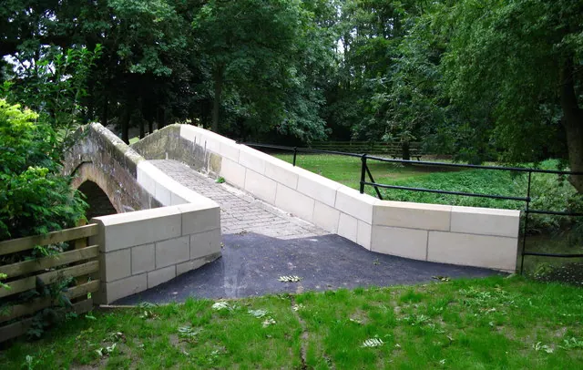
© David Rogers · Geograph · CC BY-SA 2.0
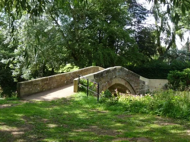
© Christine Johnstone · Geograph · CC BY-SA 2.0
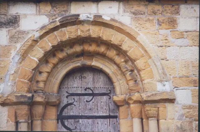
© Stephen Craven · Geograph · CC BY-SA 2.0
Images © their respective photographers, licensed under CC BY-SA 2.0 and reused here with attribution. Photographs depict listed buildings, churches and monuments near this settlement and may show neighbouring villages.
Data derived from the Open Domesday project (opendomesday.org), based on the Domesday Book dataset compiled by Professor J.J.N. Palmer and team. The Domesday Book (1086) is in the public domain.
Found an inaccuracy? [email protected]