Thorpe Willoughby in the Domesday Book (1086)
Thorpe Willoughby appears in the Domesday Book of 1086, entered under the hundred of Barkston in Yorkshire. The survey assessed Thorpe Willoughby at 0.4 carucates of taxable land.
At the time of the survey, Thorpe Willoughby supported a recorded population of 14 villagers, 8 smallholders, 3 slaves, working 8 ploughs between them.
The survey records Thorpe Willoughby’s value at 2.5 shillings in 1086. No pre-Conquest figure survives – not unusual in the North, where records were disrupted by the Harrying and by the patchy coverage of the survey.
Resources Recorded at Thorpe Willoughby (1086)
- Mills: 1 mill (valued at 4d)
- Cattle: 5
- Pigs: 6
- Sheep: 68
- Meadow: 7 * 2 furlongs
Other Settlements in Barkston
- Barkston
- Barlow
- Birkin
- Bramham
- Brayton
- Burton [Hall]
- Camblesforth
- Carlton
- Clifford
- Drax
- Fairburn
- Grimston [Grange]
- Hambleton
- Hazelwood [Castle]
The Meaning of the Name
The name Thorpe Willoughby is of Scandinavian origin. Its final element derives from the Old Norse word bý, a farmstead or village. The first element is most likely a personal name or an early descriptive term, now difficult to recover with certainty. Taken together the name probably meant something close to ‘a farmstead’.
Names of this type are a fingerprint of Scandinavian settlement: they cluster across the old Danelaw, where Norse-speaking settlers renamed or founded villages from the late 9th century onward.
Remarkably, the name has changed little since 1086, when the Domesday scribes wrote it as Thorpe Willoughby.
Listed Buildings Near Thorpe Willoughby
Historic England records 4 listed buildings within about a mile of Thorpe Willoughby. Listing protects structures of special architectural or historic interest, graded I (exceptional), II* (particularly important) and II.
Grade II
- Thorpe Hall - 0.23 km
- Rectangular Range Opposite Thorpe Hall, Consisting of Stables, Open Cart Shed, Barn, Wall, Pump and Basin - 0.25 km
- Milestone Approximately 10 Metres West of Fox Lane - 0.27 km
- Barff Farmhouse - 0.97 km
Scheduled Monuments Near Thorpe Willoughby
Scheduled monuments are nationally important archaeological sites given legal protection. 2 lie within roughly a mile of Thorpe Willoughby:
- Thorpe Hall moated monastic grange - 0.28 km
- World War II bombing decoy control building 270m south of Scalm Park Cottages - 1.57 km
Thorpe Willoughby Today
Today Thorpe Willoughby lies within the administrative area of Selby, and the settlement recorded a population of 3,486 at the 2021 census. Nine and a half centuries separate that figure from the small rural community the Domesday survey recorded here in 1086.
Read more about modern Thorpe Willoughby on Wikipedia .
Nearby Domesday Settlements
Other places recorded in the 1086 survey within a few miles:
- Hambleton - 2.0 km W
- Burton Hall - 2.2 km SE
- Brayton - 3.2 km E
- Selby - 4.1 km E
- Church and Little Fenton - 6.4 km NW
- Birkin - 6.4 km SW
Heritage Around Thorpe [Willoughby]
Photographs of churches, listed buildings and monuments in the vicinity, contributed by volunteers to the Geograph project and reused here under a Creative Commons licence.
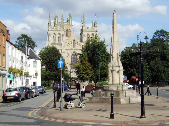
© David Ward · Geograph · CC BY-SA 2.0
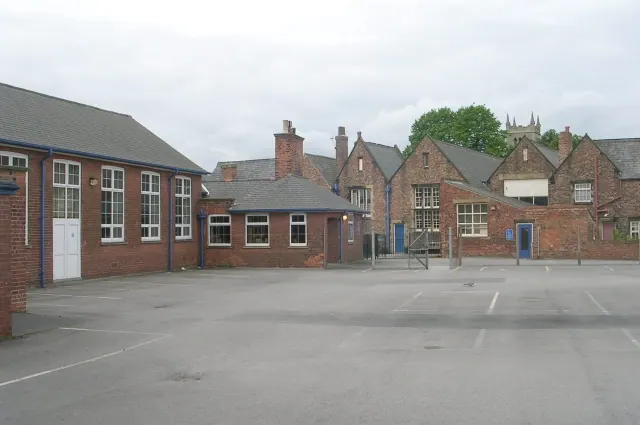
© Betty Longbottom · Geograph · CC BY-SA 2.0
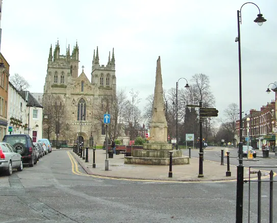
© Gordon Kneale Brooke · Geograph · CC BY-SA 2.0
Images © their respective photographers, licensed under CC BY-SA 2.0 and reused here with attribution. Photographs depict listed buildings, churches and monuments near this settlement and may show neighbouring villages.
Data derived from the Open Domesday project (opendomesday.org), based on the Domesday Book dataset compiled by Professor J.J.N. Palmer and team. The Domesday Book (1086) is in the public domain.
Found an inaccuracy? [email protected]