Thorpe le Willows in the Domesday Book (1086)
The settlement of Thorpe le Willows is recorded in William I’s Domesday survey of 1086, entered under the hundred of Yarlestre in Yorkshire.
Other Settlements in Yarlestre
- Arden [Hall]
- Asenby
- Bagby
- Baxby
- Bergebi
- Berghebi
- Bernebi
- Boltby
- Breckenbrough
- Carlton [Husthwaite]
- Carlton [Miniott]
- Catton
- Coxwold
- Crakehill
The Meaning of the Name
The origin of the name Thorpe le Willows is not securely established from its modern form alone; like many settlement names in the North it likely combines an Old English or Old Norse personal name with a landscape term.
Remarkably, the name has changed little since 1086, when the Domesday scribes wrote it as Thorpe le Willows.
Scheduled Monuments Near Thorpe le Willows
Scheduled monuments are nationally important archaeological sites given legal protection. 6 lie within roughly a mile of Thorpe le Willows:
- Four round barrows on Yearsley Moor 200m south west of High Lions’ Lodge - 1.3 km
- Round barrow on Yearsley Moor 230m SSE of High Lions’ Lodge - 1.39 km
- Two round barrows on Yearsley Moor 260m SSE of High Lions’ Lodge - 1.43 km
- Round barrow on Yearsley Moor 400m south west of High Lions’ Lodge - 1.45 km
- Round barrow on Yearsley Moor 330m SSW of High Lions’ Lodge - 1.46 km
- Two round barrows on Yearsley Moor 550m south west of High Lions’ Lodge - 1.54 km
Thorpe le Willows Today
Today Thorpe le Willows lies within the administrative area of Ampleforth.
Nearby Domesday Settlements
Other places recorded in the 1086 survey within a few miles:
- Ampleforth - 2.2 km NE
- Iretone - 2.2 km SE
- Yearsley - 2.2 km SE
- Oulston - 3.6 km SW
- Grimston - 3.6 km SE
- Gilling East - 4.0 km E
Heritage Around Thorpe [le Willows]
Photographs of churches, listed buildings and monuments in the vicinity, contributed by volunteers to the Geograph project and reused here under a Creative Commons licence.
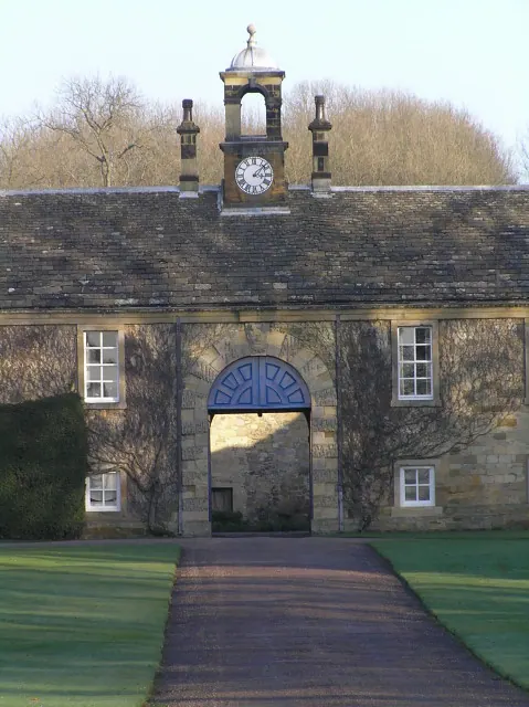
© Colin Grice · Geograph · CC BY-SA 2.0
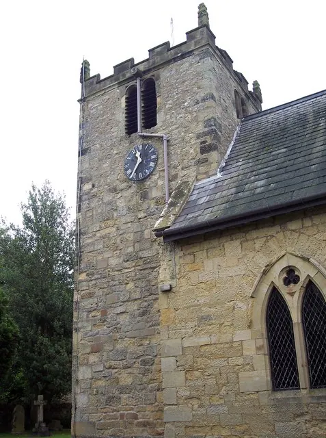
© Maigheach-gheal · Geograph · CC BY-SA 2.0
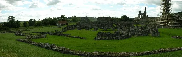
© Stuart and Fiona Jackson · Geograph · CC BY-SA 2.0
Images © their respective photographers, licensed under CC BY-SA 2.0 and reused here with attribution. Photographs depict listed buildings, churches and monuments near this settlement and may show neighbouring villages.
Data derived from the Open Domesday project (opendomesday.org), based on the Domesday Book dataset compiled by Professor J.J.N. Palmer and team. The Domesday Book (1086) is in the public domain.
Found an inaccuracy? [email protected]