Thorpe Hill in the Domesday Book (1086)
Thorpe Hill appears in the Domesday Book of 1086, entered under the hundred of Bulford in Yorkshire. The survey assessed Thorpe Hill at 0.1 carucates of taxable land.
At the time of the survey, Thorpe Hill supported a recorded population of 3 villagers, 3 smallholders.
The survey records Thorpe Hill’s value at 5d in 1086. No pre-Conquest figure survives – not unusual in the North, where records were disrupted by the Harrying and by the patchy coverage of the survey.
Resources Recorded at Thorpe Hill (1086)
- Pigs: 1
- Meadow: 6 acres
- Woodland: 40 acres
Other Settlements in Bulford
- Aldwark
- Alne
- Barnby [House]
- Barton [le Willows]
- Beningbrough
- Bossall
- Brafferton
- Brandsby
- Bulmer
- Buttercrambe
- Carlton [Farm]
- Claxton
- Coneysthorpe
- Corburn
The Meaning of the Name
The origin of the name Thorpe Hill is not securely established from its modern form alone; like many settlement names in the North it likely combines an Old English or Old Norse personal name with a landscape term.
Remarkably, the name has changed little since 1086, when the Domesday scribes wrote it as Thorpe Hill.
Listed Buildings Near Thorpe Hill
Historic England records 8 listed buildings within about a mile of Thorpe Hill. Listing protects structures of special architectural or historic interest, graded I (exceptional), II* (particularly important) and II.
Grade II
- Forrester’s Cottage - 1.0 km
- Blue Stone Cottage - 1.0 km
- Dunelm Cottage - 1.06 km
- Fir Tree Farmhouse - 1.08 km
- School Cottage - 1.09 km
- The Orchard - 1.19 km
- Milepost in Front of Laughton House - 1.22 km
- Former Stables to Sutton Park Including Numbers 1 and 2 the Bungalow - 1.24 km
Scheduled Monuments Near Thorpe Hill
Scheduled monuments are nationally important archaeological sites given legal protection. 1 lies within roughly a mile of Thorpe Hill:
- Icehouse 75m north west of Sutton Hall - 1.36 km
Nearby Domesday Settlements
Other places recorded in the 1086 survey within a few miles:
- Murton Farm - 1.0 km E
- Sutton on the Forest - 1.0 km W
- Moxby Hall - 2.0 km N
- Caldenesche - 3.2 km W
- Huby - 3.2 km W
- Stillington - 3.2 km N
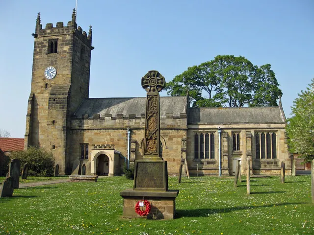
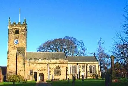
Heritage Around Thorpe [Hill]
Photographs of churches, listed buildings and monuments in the vicinity, contributed by volunteers to the Geograph project and reused here under a Creative Commons licence.
© Pauline E · Geograph · CC BY-SA 2.0
© Martin Dawes · Geograph · CC BY-SA 2.0
© Bill Henderson · Geograph · CC BY-SA 2.0
Images © their respective photographers, licensed under CC BY-SA 2.0 and reused here with attribution. Photographs depict listed buildings, churches and monuments near this settlement and may show neighbouring villages.
Data derived from the Open Domesday project (opendomesday.org), based on the Domesday Book dataset compiled by Professor J.J.N. Palmer and team. The Domesday Book (1086) is in the public domain.
Found an inaccuracy? [email protected]