Thorpe Hall in the Domesday Book (1086)
The 1086 Domesday survey records the settlement of Thorpe Hall, entered under the hundred of Burton in Yorkshire.
Other Settlements in Burton
- Binnington
- Boythorpe
- Burton [Agnes]
- Butterwick
- Carnaby
- Fornetorp
- Ganton
- Gransmoor
- Haisthorpe
- Harpham
- Kilham
- Langtoft
- Lowthorpe
- Octon
The Meaning of the Name
The origin of the name Thorpe Hall is not securely established from its modern form alone; like many settlement names in the North it likely combines an Old English or Old Norse personal name with a landscape term.
Remarkably, the name has changed little since 1086, when the Domesday scribes wrote it as Thorpe Hall.
Listed Buildings Near Thorpe Hall
Historic England records 9 listed buildings within about a mile of Thorpe Hall. Listing protects structures of special architectural or historic interest, graded I (exceptional), II* (particularly important) and II.
Grade I
- Dairy at Thorpe Hall - 1.08 km
Grade II*
- Thorpe Hall - 1.05 km
Grade II
- Ice House at Thorpe Hall - 0.94 km
- Orangery at Thorpe Hall - 1.01 km
- Billiard Room at Thorpe Hall - 1.02 km
- Statue of Bacchus and Ariadne - 1.07 km
- Game Larder at Thorpe Hall - 1.1 km
- Bridge, Approximately 60 Metres South East of Stable Block at Thorpe Hall - 1.24 km
- Stable Block at Thorpe Hall - 1.25 km
Scheduled Monuments Near Thorpe Hall
Scheduled monuments are nationally important archaeological sites given legal protection. 3 lie within roughly a mile of Thorpe Hall:
- Low Caythorpe deserted medieval village, manorial complex and fishponds - 0.73 km
- Settlement site at Boynton Hall - 1.26 km
- Argam dykes - 1.42 km
Nearby Domesday Settlements
Other places recorded in the 1086 survey within a few miles:
- Low Caythorpe - 1.0 km S
- Rudston - 2.2 km SW
- Boynton - 2.2 km SE
- Boynton Hall - 2.2 km SE
- Grindale - 2.2 km NE
- Argam - 3.0 km N
Heritage Around Thorpe [Hall]
Photographs of churches, listed buildings and monuments in the vicinity, contributed by volunteers to the Geograph project and reused here under a Creative Commons licence.
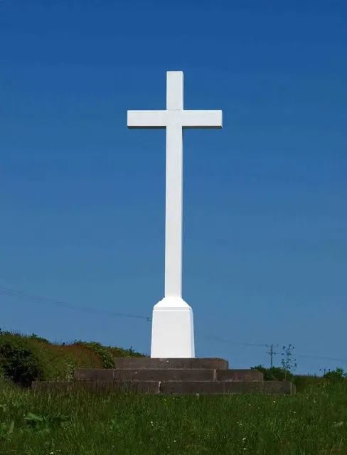
© Steve Fareham · Geograph · CC BY-SA 2.0
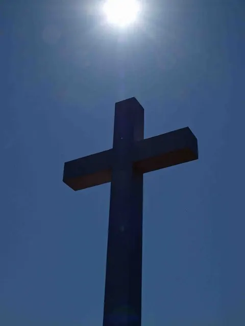
© Steve Fareham · Geograph · CC BY-SA 2.0
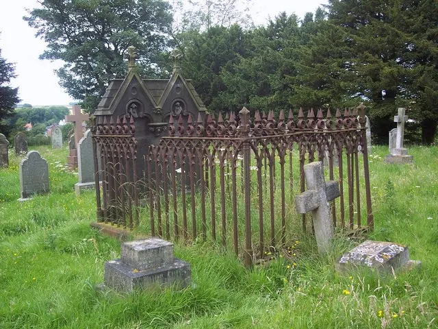
© Maigheach-gheal · Geograph · CC BY-SA 2.0
Images © their respective photographers, licensed under CC BY-SA 2.0 and reused here with attribution. Photographs depict listed buildings, churches and monuments near this settlement and may show neighbouring villages.
Data derived from the Open Domesday project (opendomesday.org), based on the Domesday Book dataset compiled by Professor J.J.N. Palmer and team. The Domesday Book (1086) is in the public domain.
Found an inaccuracy? [email protected]