Thorpe in the Domesday Book (1086)
Thorpe is named in the Domesday Book, compiled by Norman commissioners in 1086, entered under the hundred of Craven in Yorkshire.
Other Settlements in Craven
- Addingham
- Airton
- Anley
- Appletreewick
- Arncliffe
- Arnford
- Barnoldswick
- Bashall [Eaves]
- Battersby [Barn]
- Beamsley
- Birkby [Hall]
- Bogeuurde
- Bolton [Abbey]
- Bolton [by Bowland]
The Meaning of the Name
The origin of the name Thorpe is not securely established from its modern form alone; like many settlement names in the North it likely combines an Old English or Old Norse personal name with a landscape term.
Remarkably, the name has changed little since 1086, when the Domesday scribes wrote it as Thorpe.
Listed Buildings Near Thorpe
Historic England records 21 listed buildings within about a mile of Thorpe. Listing protects structures of special architectural or historic interest, graded I (exceptional), II* (particularly important) and II.
Grade II
- Kail Farmhouse - 0.36 km
- Barn Opposite Crag Lea - 0.37 km
- Bull House Opposite Kail Farmhouse - 0.38 km
- Crag Lea - 0.4 km
- Holly Tree Farmhouse - 0.4 km
- Barn Approximately 10 Metres South of Holly Tree Farmhouse - 0.4 km
- Sunnyside and Sunnybank - 0.41 km
- Outbuilding Opposite Manor House - 0.41 km
- Manor House Barn and Approach Bridge - 0.41 km
- Culvert Mouth Lining Walls Bridge and Sheepwash West of Manor House Barn - 0.42 km
- Garden wall with gate piers, opposite Manor House, linking outbuilding and barn - 0.43 km
- Manor House With Wall and Gate Piers - 0.44 km
- Manor House Cottage and barn - 0.46 km
- Barn and Byre to East of Hardcastle House - 0.46 km
- Outbuilding to West End of Hardcastle House - 0.48 km
- Hardcastle House - 0.48 km
- Barn and Bothy Range to S of Hardy Grange Farmhouse* - 0.5 km
- Hardy Grange Farmhouse - 0.52 km
- Stonycroft - 0.55 km
- Blackburn House - 0.55 km
- Guide Stone at Se 0095 6247 - 1.2 km
Scheduled Monuments Near Thorpe
Scheduled monuments are nationally important archaeological sites given legal protection. 1 lies within roughly a mile of Thorpe:
Thorpe Today
Today Thorpe lies within the administrative area of Craven, and the settlement recorded a population of 59 at the 2021 census. Nine and a half centuries separate that figure from the small rural community the Domesday survey recorded here in 1086.
Read more about modern Thorpe on Wikipedia .
Nearby Domesday Settlements
Other places recorded in the 1086 survey within a few miles:
- Hebden - 1.4 km NE
- Burnsall - 2.0 km E
- Hartlington - 2.0 km E
- Holedene - 2.0 km E
- Linton - 2.2 km NW
- Grassington - 3.2 km N
Heritage Around Thorpe
Photographs of churches, listed buildings and monuments in the vicinity, contributed by volunteers to the Geograph project and reused here under a Creative Commons licence.
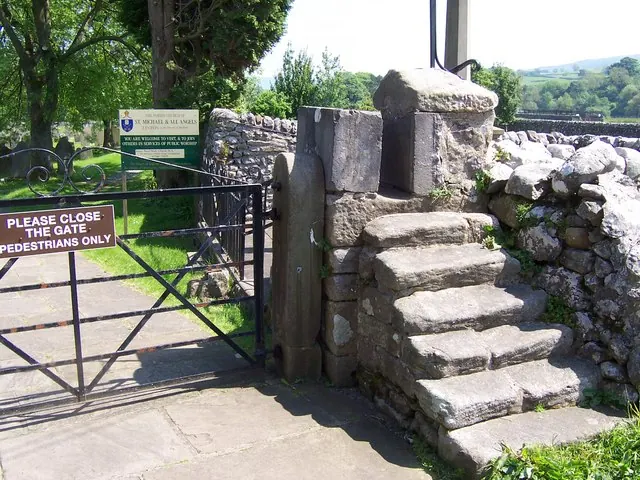
© Joe Regan · Geograph · CC BY-SA 2.0
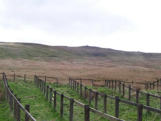
© Joe Regan · Geograph · CC BY-SA 2.0
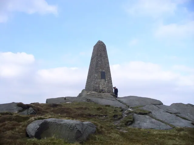
© Peter Worrell · Geograph · CC BY-SA 2.0
Images © their respective photographers, licensed under CC BY-SA 2.0 and reused here with attribution. Photographs depict listed buildings, churches and monuments near this settlement and may show neighbouring villages.
Data derived from the Open Domesday project (opendomesday.org), based on the Domesday Book dataset compiled by Professor J.J.N. Palmer and team. The Domesday Book (1086) is in the public domain.
Found an inaccuracy? [email protected]