Thorpe Bassett in the Domesday Book (1086)
The 1086 Domesday survey records the settlement of Thorpe Bassett, entered under the hundred of Scard in Yorkshire.
Other Settlements in Scard
- Birdsall
- Buckton [Holms]
- Burdale
- Duggleby
- Kennythorpe
- Langton
- Linton
- Norton
- Rillington
- Scagglethorpe
- Scampston
- Settrington
- Sutton [Grange]
- Towthorpe
The Meaning of the Name
The origin of the name Thorpe Bassett is not securely established from its modern form alone; like many settlement names in the North it likely combines an Old English or Old Norse personal name with a landscape term.
Remarkably, the name has changed little since 1086, when the Domesday scribes wrote it as Thorpe Bassett.
Listed Buildings Near Thorpe Bassett
Historic England records 15 listed buildings within about a mile of Thorpe Bassett. Listing protects structures of special architectural or historic interest, graded I (exceptional), II* (particularly important) and II.
Grade I
- Church of Saint Andrew - 0.93 km
Grade II*
- Church of All Saints - 0.21 km
Grade II
- Dovecote Approximately 40 Metres North-east of Manor Cottages - 0.25 km
- Holly Tree House - 0.43 km
- Park House Farmhouse - 0.52 km
- Lilac Tree House - 0.7 km
- Wold View and Attached Railings and Garden Gate to Front - 0.73 km
- Mill Cottage - 0.81 km
- Millbank House - 0.89 km
- 3, Westgate - 0.9 km
- Church Farmhouse - 0.92 km
- The Coach and Horses - 0.93 km
- Bethesda Chapel - 0.95 km
- Holly House - 1.1 km
- Park View and Attached Garage and Outbuilding - 1.24 km
Scheduled Monuments Near Thorpe Bassett
Scheduled monuments are nationally important archaeological sites given legal protection. 1 lies within roughly a mile of Thorpe Bassett:
- Iron Age barrow cemetery, East Field - 0.87 km
Thorpe Bassett Today
Today Thorpe Bassett lies within the administrative area of Ryedale, and the settlement recorded a population of 105 at the 2021 census. Nine and a half centuries separate that figure from the small rural community the Domesday survey recorded here in 1086.
Read more about modern Thorpe Bassett on Wikipedia .
Nearby Domesday Settlements
Other places recorded in the 1086 survey within a few miles:
- Rillington - 1.0 km N
- Scagglethorpe - 2.2 km SW
- Scampston - 2.2 km NE
- Wintringham - 3.0 km E
- Newton - 3.2 km E
- Knapton - 3.6 km NE
Heritage Around Thorpe [Bassett]
Photographs of churches, listed buildings and monuments in the vicinity, contributed by volunteers to the Geograph project and reused here under a Creative Commons licence.
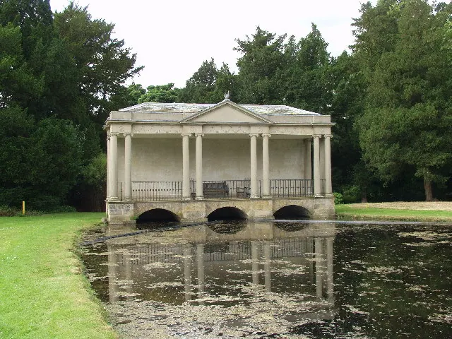
© Peter Mattock · Geograph · CC BY-SA 2.0
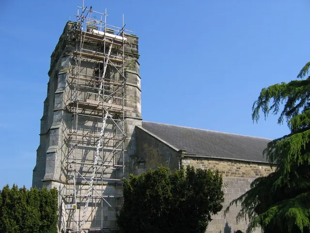
© Stephen Horncastle · Geograph · CC BY-SA 2.0
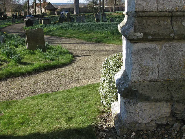
© Pauline E · Geograph · CC BY-SA 2.0
Images © their respective photographers, licensed under CC BY-SA 2.0 and reused here with attribution. Photographs depict listed buildings, churches and monuments near this settlement and may show neighbouring villages.
Data derived from the Open Domesday project (opendomesday.org), based on the Domesday Book dataset compiled by Professor J.J.N. Palmer and team. The Domesday Book (1086) is in the public domain.
Found an inaccuracy? [email protected]