Thorp Arch in the Domesday Book (1086)
The 1086 Domesday survey records the settlement of Thorp Arch, entered under the hundred of Ainsty in Yorkshire.
Other Settlements in Ainsty
- Acaster [Malbis]
- Acaster [Selby]
- Acomb
- Appleton [Roebuck]
- Askham [Bryan]
- Askham [Richard]
- Bickerton
- Bilbrough
- Bilton
- Bishopthorpe
- Bithen
- Bolton [Percy]
- Catterton
- Colton
The Meaning of the Name
The origin of the name Thorp Arch is not securely established from its modern form alone; like many settlement names in the North it likely combines an Old English or Old Norse personal name with a landscape term.
Remarkably, the name has changed little since 1086, when the Domesday scribes wrote it as Thorp Arch.
Listed Buildings Near Thorp Arch
Historic England records 74 listed buildings within about a mile of Thorp Arch. Listing protects structures of special architectural or historic interest, graded I (exceptional), II* (particularly important) and II.
Grade II*
Grade II
- Engine Shed at Thorp Arch Station - 0.24 km
- Thorp Arch Station House - 0.27 km
- Number 42 and Flat - 0.39 km
- 38 and 40, the Village - 0.4 km
- 17 and 19, the Village - 0.42 km
- Two Medieval Stone Coffins Situated Adjacent to North Wall of Church of All Saints - 0.43 km
- Font Bowl Adjacent to North West Buttress of Tower of Church of All Saints - 0.43 km
- Disused Font Situated Approximately 2 Metres to North West of Tower to Church of All Saints - 0.43 km
- Church of All Saints - 0.44 km
- Remains of medieval cross situated approximately 3 metres to south of tower of Church of All Saints - 0.44 km
- Railway Bridge Approximately 940 Metres South East of Walton Gates - 0.46 km
- Smithy to Rear of Number 11 the Green - 0.57 km
- Causeway Cottage and Lime Tree Cottage - 0.59 km
- Rye Cottage and Adjoining Cottage - 0.61 km
- Thorp Arch General Stores With Pair of Cottages and Shop Adjoining - 0.63 km
- Outbuilding approximately 10 metres to north of East Wing at Thorp Arch Hall - 0.65 km
- Outbuilding Approximately 10 Metres to North West of West Wing at Thorp Arch Hall - 0.7 km
- Range of Buildings Flanking North West Side of Thorp Arch Mill (Premises of Blanella Limited) - 0.72 km
- Building Facing Car Park at South East End of Thorp Arch Mill (Premises of Blanella Limited - 0.73 km
- Bridge Farm Cottage Bridge Farm House With Attached Outbuilding - 0.77 km
- Cartshed/granary at Hall Farm Approximately 120 Metres to South West of Farmhouse - 0.8 km
- Thorp Arch Bridge - 0.83 km
- Railway Bridge Approximately 525 Metres South East of Walton Gates - 0.86 km
…and 50 more listed structures in the area.
Thorp Arch Today
Today Thorp Arch lies within the administrative area of Leeds, and the settlement recorded a population of 1,575 at the 2021 census. Nine and a half centuries separate that figure from the small rural community the Domesday survey recorded here in 1086.
Read more about modern Thorp Arch on Wikipedia .
Nearby Domesday Settlements
Other places recorded in the 1086 survey within a few miles:
- Walton - 1.4 km NE
- Clifford - 2.2 km SW
- Oglethorpe Hall - 2.2 km SE
- Toulston - 2.8 km SE
- Wighill Park - 3.6 km NE
- Newton Kyme - 3.6 km SE
Heritage Around Thorp [Arch]
Photographs of churches, listed buildings and monuments in the vicinity, contributed by volunteers to the Geograph project and reused here under a Creative Commons licence.
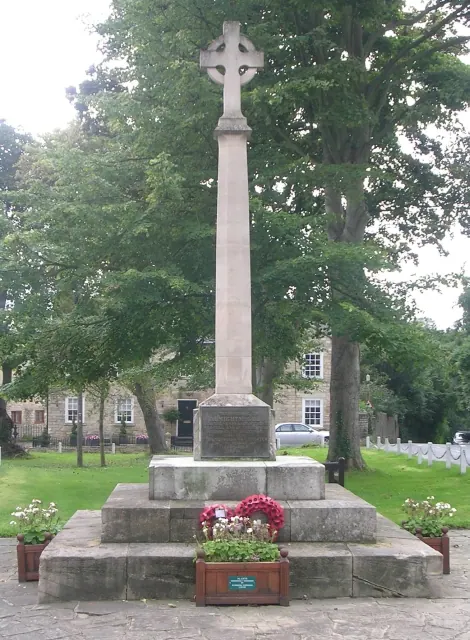
© Betty Longbottom · Geograph · CC BY-SA 2.0
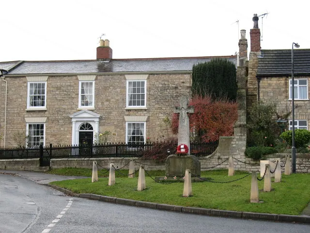
© Gordon Hatton · Geograph · CC BY-SA 2.0
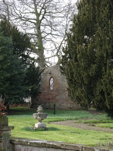
© Gordon Hatton · Geograph · CC BY-SA 2.0
Images © their respective photographers, licensed under CC BY-SA 2.0 and reused here with attribution. Photographs depict listed buildings, churches and monuments near this settlement and may show neighbouring villages.
Data derived from the Open Domesday project (opendomesday.org), based on the Domesday Book dataset compiled by Professor J.J.N. Palmer and team. The Domesday Book (1086) is in the public domain.
Found an inaccuracy? [email protected]