Thornton Rust in the Domesday Book (1086)
Thornton Rust appears in the Domesday Book of 1086, entered under the hundred of Land of Count Alan in Yorkshire.
Other Settlements in Land of Count Alan
- Achebi
- Agglethorpe
- Ainderby [Mires]
- Ainderby [Quernhow]
- Aiskew
- Aldbrough
- Allerthorpe [Hall]
- Ascam
- Ascham
- Asebi
- Aske [Hall]
- Askrigg
- Aysgarth
- Baldersby
The Meaning of the Name
The name Thornton Rust is of Anglo-Saxon origin. Its final element derives from the Old English word tūn, a farmstead or village, while the first element appears to represent thorn-bushes. Taken together the name probably meant something close to ’the thorn-bushes farmstead’.
Remarkably, the name has changed little since 1086, when the Domesday scribes wrote it as Thornton Rust.
Listed Buildings Near Thornton Rust
Historic England records 11 listed buildings within about a mile of Thornton Rust. Listing protects structures of special architectural or historic interest, graded I (exceptional), II* (particularly important) and II.
Grade II
- Havenhurst - 0.38 km
- K6 Telephone Kiosk Oppposite Manor Farm House - 0.4 km
- East End Cottage and Attached Outbuildings - 0.41 km
- Yoredale - 0.42 km
- Rose Cottage - 0.43 km
- Manor Farmhouse - 0.44 km
- Post Office - 0.45 km
- Fosse Cottage - 0.46 km
- Thornton Hall - 0.48 km
- Manor House - 0.56 km
- Mile Stone Approximately 100 Metres West of Wauley Beck - 1.06 km
Scheduled Monuments Near Thornton Rust
Scheduled monuments are nationally important archaeological sites given legal protection. 1 lies within roughly a mile of Thornton Rust:
- Castle Dykes Henge - 1.35 km
Thornton Rust Today
Today Thornton Rust lies within the administrative area of Richmondshire, and the settlement recorded a population of 111 at the 2021 census. Nine and a half centuries separate that figure from the small rural community the Domesday survey recorded here in 1086.
Read more about modern Thornton Rust on Wikipedia .
Nearby Domesday Settlements
Other places recorded in the 1086 survey within a few miles:
- Worton - 2.8 km NW
- Aysgarth - 3.0 km E
- Carperby - 3.2 km E
- Crooksby Barn - 3.2 km S
- Thoralby - 3.6 km SE
- Eshingtons - 4.1 km E
Heritage Around Thornton [Rust]
Photographs of churches, listed buildings and monuments in the vicinity, contributed by volunteers to the Geograph project and reused here under a Creative Commons licence.
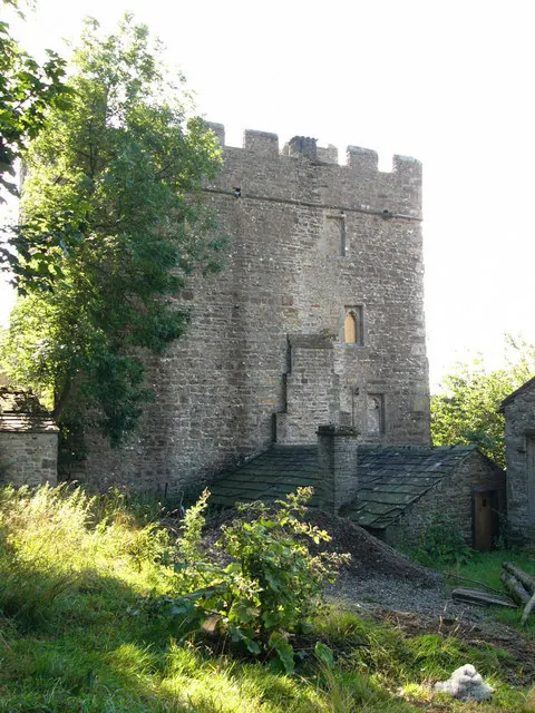
© Chris Gunns · Geograph · CC BY-SA 2.0
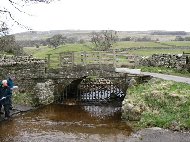
© Gordon Hatton · Geograph · CC BY-SA 2.0
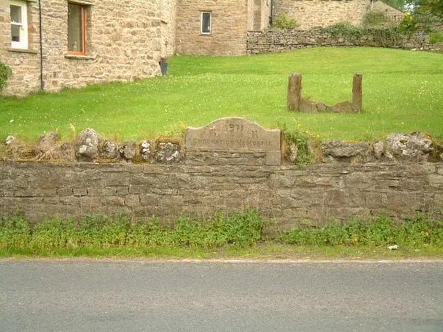
© Jeff Tomlinson · Geograph · CC BY-SA 2.0
Images © their respective photographers, licensed under CC BY-SA 2.0 and reused here with attribution. Photographs depict listed buildings, churches and monuments near this settlement and may show neighbouring villages.
Location
54.2919°N, -2.0384°W · Land of Count Alan hundred, Yorkshire
View larger map on OpenStreetMap →Data derived from the Open Domesday project (opendomesday.org), based on the Domesday Book dataset compiled by Professor J.J.N. Palmer and team. The Domesday Book (1086) is in the public domain.
Found an inaccuracy? [email protected]