Thornton le Street in the Domesday Book (1086)
The settlement of Thornton le Street is recorded in William I’s Domesday survey of 1086, entered under the hundred of Allerton in Yorkshire.
Other Settlements in Allerton
- Ainderby [Steeple]
- Appleton [Wiske]
- Arncliffe [Hall]
- Birkby
- Borrowby
- Brompton
- Cowesby
- Crosby [Grange]
- Dale [Town]
- Deighton
- Ellerbeck
- Foxton
- Girsby
- Hawnby
The Meaning of the Name
The name Thornton le Street is of Anglo-Saxon origin. Its final element derives from the Old English word tūn, a farmstead or village, while the first element appears to represent thorn-bushes. Taken together the name probably meant something close to ’the thorn-bushes farmstead’.
Remarkably, the name has changed little since 1086, when the Domesday scribes wrote it as Thornton le Street.
Listed Buildings Near Thornton le Street
Historic England records 11 listed buildings within about a mile of Thornton le Street. Listing protects structures of special architectural or historic interest, graded I (exceptional), II* (particularly important) and II.
Grade II*
- Church of St Leonard - 0.31 km
- Brawith Hall - 0.98 km
Grade II
- Ford Cottage and Chesters - 0.25 km
- Table Tomb Approximately 8 Metres to South of Nave of Church of St Leonard - 0.31 km
- Table Tomb Approximately 10 Metres to South of West End of Church of St Leonard - 0.32 km
- Millhouse and Attached Watermill - 0.33 km
- The Old Hall - 0.59 km
- East Lodge North and East Lodge South to Thornton Stud - 0.59 km
- Brawith Bridge - 0.72 km
- Brawith Bridge - 0.72 km
- Stable Block at Brawith Hall to North West of House - 1.01 km
Scheduled Monuments Near Thornton le Street
Scheduled monuments are nationally important archaeological sites given legal protection. 1 lies within roughly a mile of Thornton le Street:
Thornton le Street Today
Today Thornton le Street lies within the administrative area of Hambleton, and the settlement recorded a population of 99 at the 2021 census. Nine and a half centuries separate that figure from the small rural community the Domesday survey recorded here in 1086.
Read more about modern Thornton-le-Street on Wikipedia .
Nearby Domesday Settlements
Other places recorded in the 1086 survey within a few miles:
- North Kilvington - 1.4 km SE
- Knayton - 2.2 km NE
- Crosby Grange - 2.2 km NW
- Hundulfthorpe Farm - 3.2 km E
- Borrowby - 3.2 km N
- Thornton le Moor - 3.6 km NW
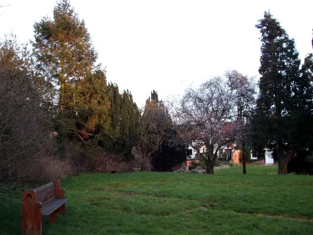
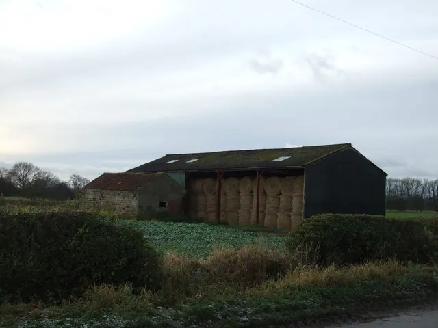
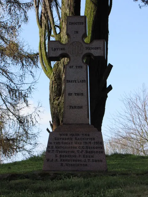
Heritage Around Thornton [le Street]
Photographs of churches, listed buildings and monuments in the vicinity, contributed by volunteers to the Geograph project and reused here under a Creative Commons licence.
© David Cowling · Geograph · CC BY-SA 2.0
© JThomas · Geograph · CC BY-SA 2.0
© David Rogers · Geograph · CC BY-SA 2.0
Images © their respective photographers, licensed under CC BY-SA 2.0 and reused here with attribution. Photographs depict listed buildings, churches and monuments near this settlement and may show neighbouring villages.
Data derived from the Open Domesday project (opendomesday.org), based on the Domesday Book dataset compiled by Professor J.J.N. Palmer and team. The Domesday Book (1086) is in the public domain.
Found an inaccuracy? [email protected]