Thornton le Moors in the Domesday Book (1086)
The settlement of Thornton le Moors is recorded in William I’s Domesday survey of 1086, entered under the hundred of Ruloe in Cheshire.
Other Settlements in Ruloe
- Aldredelie
- Alvanley
- Conersley
- Done
- Dunham [on the Hill]
- Eddisbury
- Elton
- Frodsham
- Hartford
- Helsby
- Ince
- Kingsley
- Manley
- Weaverham
The Meaning of the Name
The name Thornton le Moors is of Anglo-Saxon origin. Its final element derives from the Old English word tūn, a farmstead or village, while the first element appears to represent thorn-bushes. Taken together the name probably meant something close to ’the thorn-bushes farmstead’.
Remarkably, the name has changed little since 1086, when the Domesday scribes wrote it as Thornton le Moors.
Listed Buildings Near Thornton le Moors
Historic England records 10 listed buildings within about a mile of Thornton le Moors. Listing protects structures of special architectural or historic interest, graded I (exceptional), II* (particularly important) and II.
Grade I
- Church of St Mary - 0.44 km
Grade II
- Yew Tree House - 0.27 km
- Church House Farmhouse Including Shippon Abutting on North - 0.3 km
- Thornton Hall - 0.34 km
- Barn to North East of Thornton Hall - 0.34 km
- Glebe Farmhouse - 0.36 km
- Table Tomb to John Davies of Dunham, South East of Church of St Mary - 0.42 km
- Retaining Wall Bounding Churchyard of St Mary’s Church on West, South and Half on East Side Including Gate Piers at South West Corner - 0.43 km
- Church Farmhouse Including Cottage Wing to West - 0.44 km
- Building 50 at Thornton Aero Engine Research Laboratory - 1.25 km
Scheduled Monuments Near Thornton le Moors
Scheduled monuments are nationally important archaeological sites given legal protection. 1 lies within roughly a mile of Thornton le Moors:
Thornton le Moors Today
Today Thornton le Moors lies within the administrative area of Cheshire West and Chester, and the settlement recorded a population of 264 at the 2021 census. Nine and a half centuries separate that figure from the small rural community the Domesday survey recorded here in 1086.
Read more about modern Thornton-le-Moors on Wikipedia .
Nearby Domesday Settlements
Other places recorded in the 1086 survey within a few miles:
- Elton - 1.4 km NE
- Ince - 2.0 km N
- Wimbolds Trafford - 2.0 km S
- Stanney and Little Stanney - 3.0 km W
- Bridge Trafford - 3.2 km S
- Picton - 3.2 km S
Heritage Around Thornton [le Moors]
Photographs of churches, listed buildings and monuments in the vicinity, contributed by volunteers to the Geograph project and reused here under a Creative Commons licence.
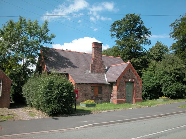
© Dennis Turner · Geograph · CC BY-SA 2.0
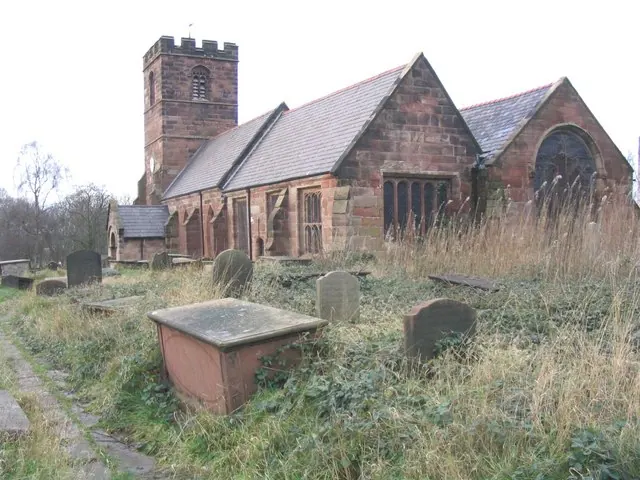
© John Lord · Geograph · CC BY-SA 2.0
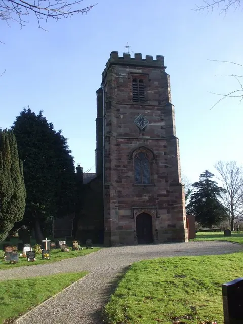
© John Lord · Geograph · CC BY-SA 2.0
Images © their respective photographers, licensed under CC BY-SA 2.0 and reused here with attribution. Photographs depict listed buildings, churches and monuments near this settlement and may show neighbouring villages.
Data derived from the Open Domesday project (opendomesday.org), based on the Domesday Book dataset compiled by Professor J.J.N. Palmer and team. The Domesday Book (1086) is in the public domain.
Found an inaccuracy? [email protected]