Thornton in Lonsdale in the Domesday Book (1086)
The settlement of Thornton in Lonsdale is recorded in William I’s Domesday survey of 1086, entered under the hundred of Amounderness in Yorkshire.
Other Settlements in Amounderness
- Aighton
- Aldcliffe
- Aldingham
- Arkholme
- Aschebi
- Ashton [Hall]
- Ashton [on Ribble]
- Austwick
- Barbon
- Bardsea
- Bare
- Barnoldswick
- Barton
- Beetham
The Meaning of the Name
The name Thornton in Lonsdale is of Anglo-Saxon origin. Its final element derives from the Old English word tūn, a farmstead or village, while the first element appears to represent thorn-bushes. Taken together the name probably meant something close to ’the thorn-bushes farmstead’.
Remarkably, the name has changed little since 1086, when the Domesday scribes wrote it as Thornton in Lonsdale.
Listed Buildings Near Thornton in Lonsdale
Historic England records 14 listed buildings within about a mile of Thornton in Lonsdale. Listing protects structures of special architectural or historic interest, graded I (exceptional), II* (particularly important) and II.
Grade II*
- Church of St Oswald - 0.98 km
Grade II
- Trees House - 0.48 km
- Westhouse Lodge Cottage - 0.81 km
- Westhouse Lodge - 0.84 km
- Walled Kitchen Garden to Halsteads - 0.85 km
- Former Cottage to West of Halsteads and Lean to at Rear - 0.86 km
- Halsteads - 0.88 km
- Marton Arms Inn - 0.94 km
- Thornton in Lonsdale War Memorial - 0.95 km
- Hen House - 0.96 km
- Stocks - 0.98 km
- Milestone - 1.08 km
- Boundary Stone About 350 Metres South-west of Westhouse Lodge - 1.16 km
- Lowfields Farmhouse - 1.21 km
Nearby Domesday Settlements
Other places recorded in the 1086 survey within a few miles:
- Ingleton - 2.2 km SE
- Burton in Lonsdale - 2.2 km SW
- Barnoldswick - 2.2 km SW
- Ireby - 2.8 km NW
- Lower Leck - 4.2 km NW
- High and Low Bentham - 5.0 km SW
Heritage Around Thornton [in Lonsdale]
Photographs of churches, listed buildings and monuments in the vicinity, contributed by volunteers to the Geograph project and reused here under a Creative Commons licence.
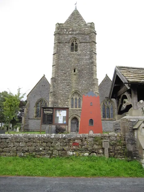
© John S Turner · Geograph · CC BY-SA 2.0
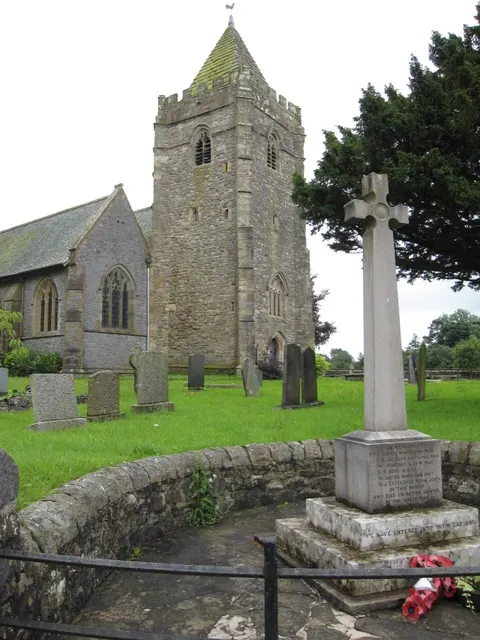
© John S Turner · Geograph · CC BY-SA 2.0
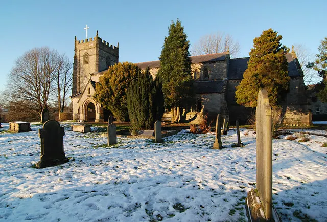
© Dave Croker · Geograph · CC BY-SA 2.0
Images © their respective photographers, licensed under CC BY-SA 2.0 and reused here with attribution. Photographs depict listed buildings, churches and monuments near this settlement and may show neighbouring villages.
Data derived from the Open Domesday project (opendomesday.org), based on the Domesday Book dataset compiled by Professor J.J.N. Palmer and team. The Domesday Book (1086) is in the public domain.
Found an inaccuracy? [email protected]