Thornton Fields in the Domesday Book (1086)
Thornton Fields appears in the Domesday Book of 1086, entered under the hundred of Langbaurgh in Yorkshire.
Other Settlements in Langbaurgh
- Acklam
- Airy [Holme]
- Aislaby
- Arnodestorp
- Baldebi
- Barnaby
- Barwick
- Battersby
- Bergolbi
- Berguluesbi
- Blaten [Carr]
- Borrowby
- Breck
- Brotton
The Meaning of the Name
The name Thornton Fields is of Anglo-Saxon origin. Its final element derives from the Old English word tūn, a farmstead or village, while the first element appears to represent thorn-bushes. Taken together the name probably meant something close to ’the thorn-bushes farmstead’.
Remarkably, the name has changed little since 1086, when the Domesday scribes wrote it as Thornton Fields.
Listed Buildings Near Thornton Fields
Historic England records 10 listed buildings within about a mile of Thornton Fields. Listing protects structures of special architectural or historic interest, graded I (exceptional), II* (particularly important) and II.
Grade II*
- Tocketts Mill - 1.15 km
Grade II
- Thornton Fields Farmhouse - 0.39 km
- Farm Cottage, Adjoining North East Side of Thornton Fields Farmhouse - 0.43 km
- Marker Stone, Approximately 190 Metres North East of Carling Howe Farmhouse - 0.69 km
- Tocketts House (The Kennels) and Extension - 0.77 km
- Gatepiers, to North East of Dunsdale Lodge - 0.94 km
- Dunsdale Lodge - 0.94 km
- Dunsdale Farmhouse and Adjoining Wings - 0.94 km
- Boundary Wall and Gatepiers to West of Dunsdale Farmhouse - 0.96 km
- Mill House Adjoining East Side of Tocketts Mill - 1.16 km
Nearby Domesday Settlements
Other places recorded in the 1086 survey within a few miles:
- Tocketts Farm - 1.0 km S
- Guisborough - 2.0 km S
- Middleton - 2.0 km S
- Upleatham - 2.2 km NE
- Rawcliff Banks - 2.8 km SE
- Wilton - 3.2 km W
Heritage Around Thornton [Fields]
Photographs of churches, listed buildings and monuments in the vicinity, contributed by volunteers to the Geograph project and reused here under a Creative Commons licence.
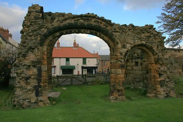
© Mick Garratt · Geograph · CC BY-SA 2.0
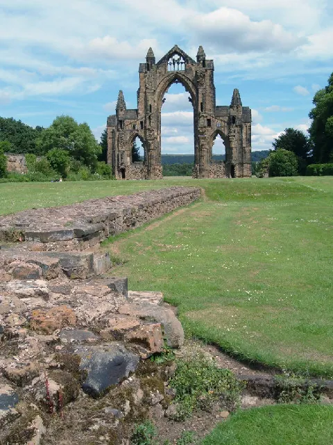
© Alison Stamp · Geograph · CC BY-SA 2.0
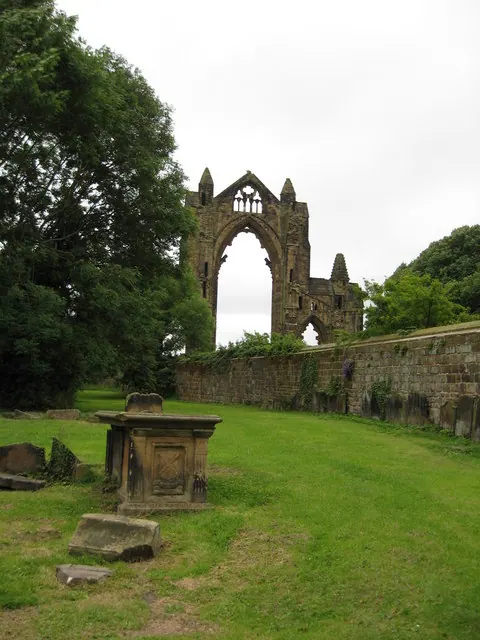
© Carol Walker · Geograph · CC BY-SA 2.0
Images © their respective photographers, licensed under CC BY-SA 2.0 and reused here with attribution. Photographs depict listed buildings, churches and monuments near this settlement and may show neighbouring villages.
Data derived from the Open Domesday project (opendomesday.org), based on the Domesday Book dataset compiled by Professor J.J.N. Palmer and team. The Domesday Book (1086) is in the public domain.
Found an inaccuracy? [email protected]