Thornton Dale in the Domesday Book (1086)
Thornton Dale appears in the Domesday Book of 1086, entered under the hundred of Dic in Yorkshire.
Other Settlements in Dic
- Aislaby
- Allerston
- Appleton [le Moors]
- Aschelesmersc
- Aschilesmares
- Barton [le Street]
- Baschebi
- Baschesbi
- Brompton
- Burniston
- Burton [Dale]
- Cawthorn
- Cayton
- Chigogemers
The Meaning of the Name
The name Thornton Dale is of Anglo-Saxon origin. Its final element derives from the Old English word tūn, a farmstead or village, while the first element appears to represent thorn-bushes. Taken together the name probably meant something close to ’the thorn-bushes farmstead’.
Remarkably, the name has changed little since 1086, when the Domesday scribes wrote it as Thornton Dale.
Listed Buildings Near Thornton Dale
Historic England records 74 listed buildings within about a mile of Thornton Dale. Listing protects structures of special architectural or historic interest, graded I (exceptional), II* (particularly important) and II.
Grade II*
- Church of All Saints - 0.41 km
- The Hall - 0.42 km
Grade II
- Millhouse - 0.07 km
- Wall, Gate and Railings Approximately 4 Metres to West of Brook House - 0.24 km
- Brook House - 0.25 km
- Cottage Attached to Left of the Little Cottage - 0.3 km
- Manor Farmhouse - 0.31 km
- Beck Hall - 0.31 km
- Beck Isle Cottage the Thatched Cottage - 0.33 km
- Whitbygate House - 0.36 km
- Brook Farmhouse - 0.38 km
- Grammar School - 0.38 km
- Thornton Bridge - 0.39 km
- Wall Approximately 1.25 Metres to North of the Riding Stables - 0.39 km
- Lady Lumley’s Almshouses - 0.4 km
- Gate Piers and Attached Walls Approximately 40 Metres to North of the Hall - 0.4 km
- Rockingham House - 0.41 km
- The Riding Stables - 0.41 km
- School House - 0.42 km
- Gateways - 0.42 km
- 6, Chestnut Avenue - 0.42 km
- Comber House - 0.44 km
- 3 and 5A , Whitbygate - 0.45 km
- The former Gift Box and Baldersons Welcome Café and Bakery - 0.46 km
…and 50 more listed structures in the area.
Scheduled Monuments Near Thornton Dale
Scheduled monuments are nationally important archaeological sites given legal protection. 5 lie within roughly a mile of Thornton Dale:
- Standing cross 180m north of Hall Farm - 0.49 km
- Roxby Hill manorial complex and associated ridge and furrow earthworks - 1.06 km
- Round barrow 520m north west of St Hilda’s Church, Ellerburn - 1.08 km
- Prehistoric linear boundary in Ellerburn Wood, 370m north west of St Hilda’s Church - 1.11 km
- Round barrow 650m north west of St Hilda’s Church, Ellerburn - 1.16 km
Thornton Dale Today
Today Thornton Dale records a population of 1,759 at recent figures. Nine and a half centuries separate that figure from the small rural community the Domesday survey recorded here in 1086.
Read more about modern Thornton-le-Dale on Wikipedia .
Nearby Domesday Settlements
Other places recorded in the 1086 survey within a few miles:
- Chigogemers - 0.0 km N
- Chigomersc - 0.0 km N
- Ghigogesmersc - 0.0 km N
- Kettlethorpe - 0.0 km N
- Ellerburn - 1.4 km NE
- Roxby Hill - 1.4 km SW
Heritage Around Thornton [Dale]
Photographs of churches, listed buildings and monuments in the vicinity, contributed by volunteers to the Geograph project and reused here under a Creative Commons licence.
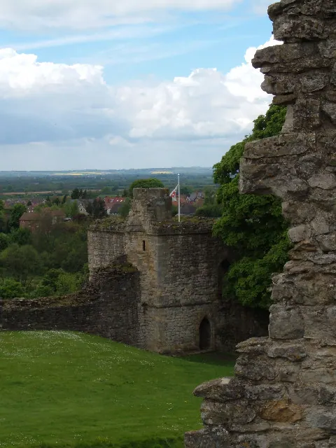
© Alison Stamp · Geograph · CC BY-SA 2.0
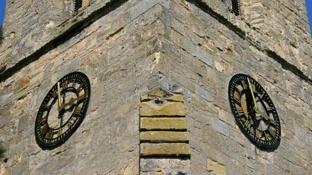
© Alan Walker · Geograph · CC BY-SA 2.0
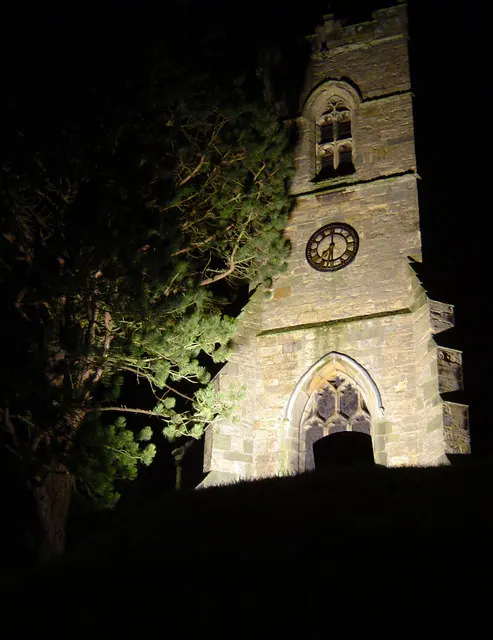
© Scott Robinson · Geograph · CC BY-SA 2.0
Images © their respective photographers, licensed under CC BY-SA 2.0 and reused here with attribution. Photographs depict listed buildings, churches and monuments near this settlement and may show neighbouring villages.
Data derived from the Open Domesday project (opendomesday.org), based on the Domesday Book dataset compiled by Professor J.J.N. Palmer and team. The Domesday Book (1086) is in the public domain.
Found an inaccuracy? [email protected]