Thornton in the Domesday Book (1086)
The 1086 Domesday survey records the settlement of Thornton, entered under the hundred of Amounderness in Yorkshire.
Other Settlements in Amounderness
- Aighton
- Aldcliffe
- Aldingham
- Arkholme
- Aschebi
- Ashton [Hall]
- Ashton [on Ribble]
- Austwick
- Barbon
- Bardsea
- Bare
- Barnoldswick
- Barton
- Beetham
The Meaning of the Name
The name Thornton is of Anglo-Saxon origin. Its final element derives from the Old English word tūn, a farmstead or village, while the first element appears to represent thorn-bushes. Taken together the name probably meant something close to ’the thorn-bushes farmstead’.
Remarkably, the name has changed little since 1086, when the Domesday scribes wrote it as Thornton.
Listed Buildings Near Thornton
Historic England records 7 listed buildings within about a mile of Thornton. Listing protects structures of special architectural or historic interest, graded I (exceptional), II* (particularly important) and II.
Grade II*
- Marsh Mill - 0.08 km
Grade II
- Thornton Cleveleys War Memorial - 0.28 km
- Trunnah Farmhouse - 0.52 km
- Marsh Farmhouse - 0.59 km
- Sacred Heart Catholic Church - 0.83 km
- Calf Heys - 0.84 km
- Poolfoot Cottage - 0.93 km
Thornton Today
Today Thornton lies within the administrative area of Wyre.
Read more about modern Thornton on Wikipedia .
Nearby Domesday Settlements
Other places recorded in the 1086 survey within a few miles:
- Rossall - 2.8 km NW
- Burn Hall - 3.0 km N
- Bispham - 3.6 km SW
- Hambleton - 4.0 km E
- Carleton and Little Carleton - 4.0 km S
- Singleton and Little Singleton - 5.0 km SE
Heritage Around Thornton
Photographs of churches, listed buildings and monuments in the vicinity, contributed by volunteers to the Geograph project and reused here under a Creative Commons licence.
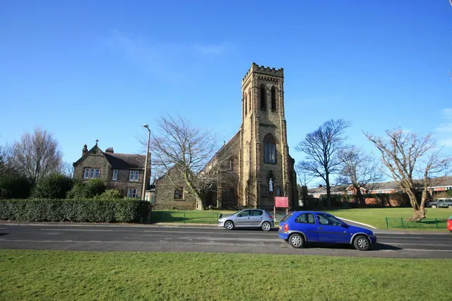
© Bob Jenkins · Geograph · CC BY-SA 2.0
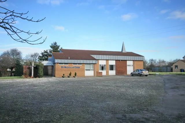
© Bob Jenkins · Geograph · CC BY-SA 2.0
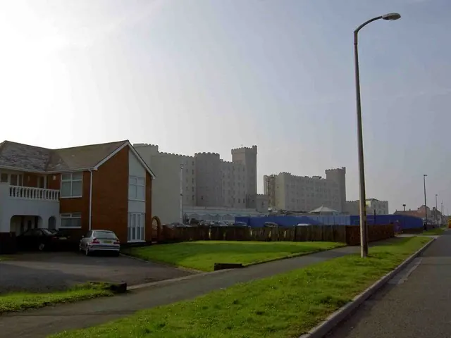
© Steve Fareham · Geograph · CC BY-SA 2.0
Images © their respective photographers, licensed under CC BY-SA 2.0 and reused here with attribution. Photographs depict listed buildings, churches and monuments near this settlement and may show neighbouring villages.
Data derived from the Open Domesday project (opendomesday.org), based on the Domesday Book dataset compiled by Professor J.J.N. Palmer and team. The Domesday Book (1086) is in the public domain.
Found an inaccuracy? [email protected]