Thornsett in the Domesday Book (1086)
The settlement of Thornsett is recorded in William I’s Domesday survey of 1086, entered under the hundred of Blackwell in Derbyshire.
Other Settlements in Blackwell
- Abney
- Ashford [-in-the-Water]
- Aston
- Bakewell
- Bamford
- Baslow
- Beeley
- Birchills
- Birchover
- Blackwell
- Bradwell
- Bubnell
- Burley
- Burton
The Meaning of the Name
The origin of the name Thornsett is not securely established from its modern form alone; like many settlement names in the North it likely combines an Old English or Old Norse personal name with a landscape term.
Remarkably, the name has changed little since 1086, when the Domesday scribes wrote it as Thornsett.
Listed Buildings Near Thornsett
Historic England records 11 listed buildings within about a mile of Thornsett. Listing protects structures of special architectural or historic interest, graded I (exceptional), II* (particularly important) and II.
Grade II
- 67 and 69, Thornsett - 0.67 km
- Thornsett Hey Farmhouse - 0.7 km
- Farm Buildings to Ollersett Hall Farm - 0.97 km
- Ollersett Hall Farmhouse - 0.97 km
- 31, Batemill Road - 0.99 km
- 3 and 5, Laneside Road - 1.14 km
- The Hare and Hounds Hotel - 1.14 km
- Friend’s Meeting House - 1.19 km
- Laneside Farmhouse - 1.24 km
- Ladyshawe House - 1.27 km
- Former Barn to Number 44 (Ladyshawe House) - 1.27 km
Thornsett Today
Today Thornsett lies within the administrative area of New Mills.
Read more about modern Thornsett on Wikipedia .
Nearby Domesday Settlements
Other places recorded in the 1086 survey within a few miles:
Heritage Around Thornsett
Photographs of churches, listed buildings and monuments in the vicinity, contributed by volunteers to the Geograph project and reused here under a Creative Commons licence.
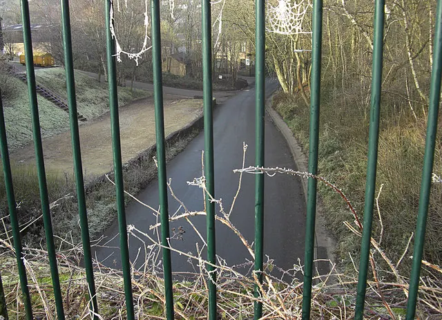
© michael ely · Geograph · CC BY-SA 2.0
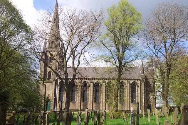
© Geoff Pick · Geograph · CC BY-SA 2.0
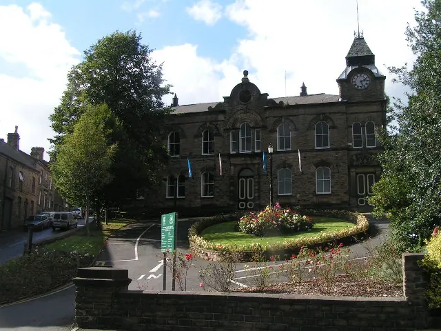
© Dave Dunford · Geograph · CC BY-SA 2.0
Images © their respective photographers, licensed under CC BY-SA 2.0 and reused here with attribution. Photographs depict listed buildings, churches and monuments near this settlement and may show neighbouring villages.
Data derived from the Open Domesday project (opendomesday.org), based on the Domesday Book dataset compiled by Professor J.J.N. Palmer and team. The Domesday Book (1086) is in the public domain.
Found an inaccuracy? [email protected]