Thornholme in the Domesday Book (1086)
Thornholme is named in the Domesday Book, compiled by Norman commissioners in 1086, entered under the hundred of Burton in Yorkshire.
Other Settlements in Burton
- Binnington
- Boythorpe
- Burton [Agnes]
- Butterwick
- Carnaby
- Fornetorp
- Ganton
- Gransmoor
- Haisthorpe
- Harpham
- Kilham
- Langtoft
- Lowthorpe
- Octon
The Meaning of the Name
The name Thornholme is of Scandinavian origin. Its final element derives from the Old Norse word holmr, an island or patch of raised ground in marsh, while the first element appears to represent thorn-bushes. Taken together the name probably meant something close to ’the thorn-bushes island’.
Names of this type are a fingerprint of Scandinavian settlement: they cluster across the old Danelaw, where Norse-speaking settlers renamed or founded villages from the late 9th century onward.
Remarkably, the name has changed little since 1086, when the Domesday scribes wrote it as Thornholme.
Listed Buildings Near Thornholme
Historic England records 9 listed buildings within about a mile of Thornholme. Listing protects structures of special architectural or historic interest, graded I (exceptional), II* (particularly important) and II.
Grade II
- Manor Farmhouse - 0.32 km
- Oak Wood Farmhouse - 1.02 km
- Manor Farm Cottage - 1.13 km
- Former Methodist Church - 1.2 km
- Home Farmhouse - 1.21 km
- Walls and Gate Piers to North, East and West of Walled Garden at Burton Agnes Hall and Abutting Gatehouse - 1.21 km
- Sundial Approximately 20 Metres to North East of Burton Agnes Hall - 1.28 km
- Figure of Angel With Horn in the Water Garden Approximately 15 Metres to East of Burton Agnes Hall - 1.28 km
- Statue of Mercury in the Water Garden Approximately 15 Metres to East of Burton Agnes Hall - 1.28 km
Scheduled Monuments Near Thornholme
Scheduled monuments are nationally important archaeological sites given legal protection. 1 lies within roughly a mile of Thornholme:
- Burton Agnes 12th-century manor house - 1.38 km
Thornholme Today
Today Thornholme lies within the administrative area of Burton Agnes.
Read more about modern Thornholme on Wikipedia .
Nearby Domesday Settlements
Other places recorded in the 1086 survey within a few miles:
- Burton Agnes - 1.0 km W
- Haisthorpe - 1.4 km NE
- Harpham - 2.8 km SW
- Carnaby - 3.6 km NE
- Low Caythorpe - 4.0 km N
- Gransmoor - 4.1 km S
Heritage Around Thornholme
Photographs of churches, listed buildings and monuments in the vicinity, contributed by volunteers to the Geograph project and reused here under a Creative Commons licence.
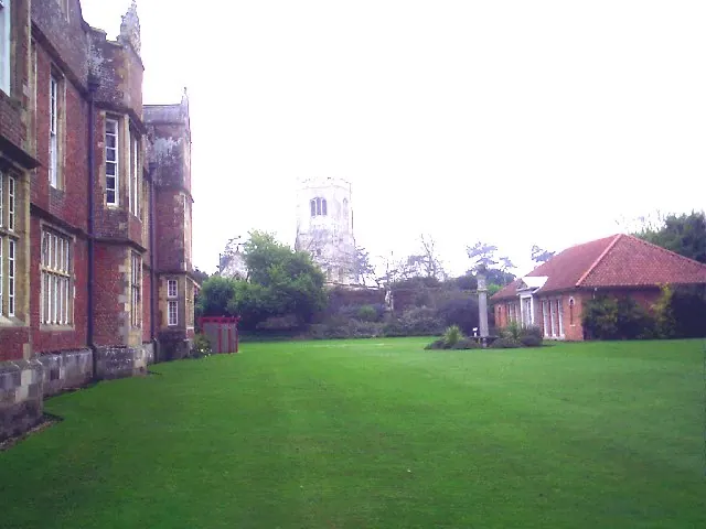
© Derek Hayden · Geograph · CC BY-SA 2.0
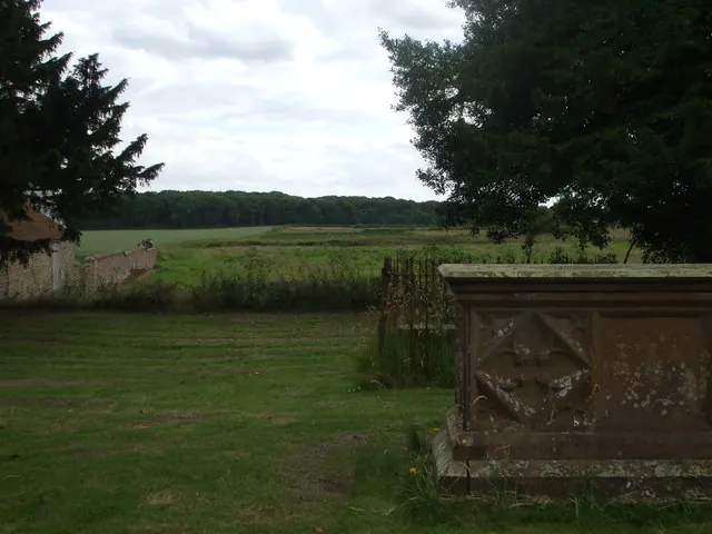
© nick macneill · Geograph · CC BY-SA 2.0
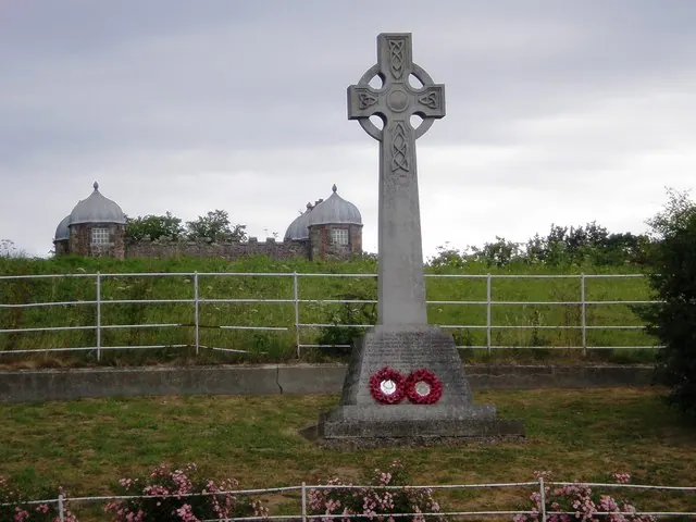
© Dr Patty McAlpin · Geograph · CC BY-SA 2.0
Images © their respective photographers, licensed under CC BY-SA 2.0 and reused here with attribution. Photographs depict listed buildings, churches and monuments near this settlement and may show neighbouring villages.
Data derived from the Open Domesday project (opendomesday.org), based on the Domesday Book dataset compiled by Professor J.J.N. Palmer and team. The Domesday Book (1086) is in the public domain.
Found an inaccuracy? [email protected]