Thornhill in the Domesday Book (1086)
The 1086 Domesday survey records the settlement of Thornhill, entered under the hundred of Agbrigg in Yorkshire.
Other Settlements in Agbrigg
- Ackton
- Almondbury
- Austonley
- Bradley
- Cartworth
- Crigglestone
- Crofton
- Dalton
- Emley
- Farnley [Tyas]
- Flockton
- Fulstone
- Golcar
- Hepworth
The Meaning of the Name
The origin of the name Thornhill is not securely established from its modern form alone; like many settlement names in the North it likely combines an Old English or Old Norse personal name with a landscape term.
Remarkably, the name has changed little since 1086, when the Domesday scribes wrote it as Thornhill.
Listed Buildings Near Thornhill
Historic England records 15 listed buildings within about a mile of Thornhill. Listing protects structures of special architectural or historic interest, graded I (exceptional), II* (particularly important) and II.
Grade I
- Church of St Michael and All Angels - 0.83 km
Grade II
- 9, Chapel Lane - 0.28 km
- Memorial Stone and Base of Market Cross Opposite Junction With Combs Road - 0.44 km
- Former Thornhill Grammar School - 0.69 km
- Combs Hall Farmhouse - 0.71 km
- Brewhouse in Garden of Combs Hall Farmhouse - 0.72 km
- Boundary Wall to Combs Hall Farmhouse - 0.73 km
- Lych Gate and Front Wall to the Church of St Michael and All Angels - 0.85 km
- 2, 4 and 6, Combs Road - 0.91 km
- The Old Rectory - 0.95 km
- Park House Farmhouse and Adjoining Outbuildings - 1.02 km
- Ruins of the Medieval Thornhill Hall in Moated Enclosure, in Rectory Grounds - 1.12 km
- Thornhill Hall Cottages - 1.19 km
- Thornhill Hall - 1.2 km
- Main Farm Building to Thornhill Hall - 1.24 km
Scheduled Monuments Near Thornhill
Scheduled monuments are nationally important archaeological sites given legal protection. 1 lies within roughly a mile of Thornhill:
Thornhill Today
Today Thornhill lies within the administrative area of Kirklees, and the settlement recorded a population of 6,875 at recent figures. Nine and a half centuries separate that figure from the small rural community the Domesday survey recorded here in 1086.
Read more about modern Thornhill on Wikipedia .
Nearby Domesday Settlements
Other places recorded in the 1086 survey within a few miles:
- Lower Whitley - 2.2 km SW
- Shitlington - 2.2 km SE
- Upper Denby - 2.2 km SW
- Dewsbury - 3.0 km N
- Earlsheaton - 3.2 km N
- Ossett - 3.6 km NE
Heritage Around Thornhill
Photographs of churches, listed buildings and monuments in the vicinity, contributed by volunteers to the Geograph project and reused here under a Creative Commons licence.
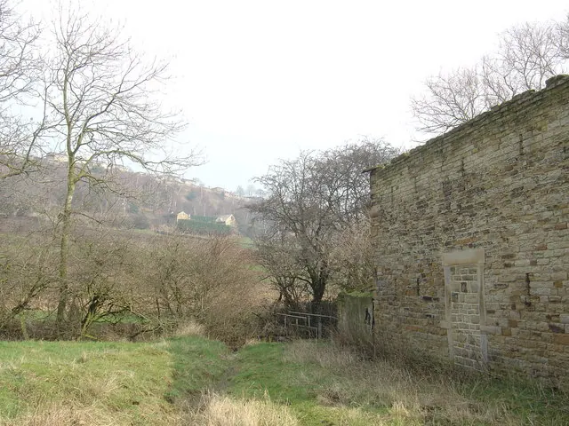
© Donald Wilkinson · Geograph · CC BY-SA 2.0
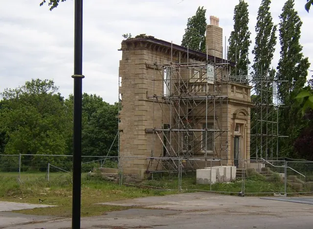
© Humphrey Bolton · Geograph · CC BY-SA 2.0
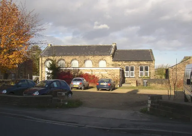
© Humphrey Bolton · Geograph · CC BY-SA 2.0
Images © their respective photographers, licensed under CC BY-SA 2.0 and reused here with attribution. Photographs depict listed buildings, churches and monuments near this settlement and may show neighbouring villages.
Data derived from the Open Domesday project (opendomesday.org), based on the Domesday Book dataset compiled by Professor J.J.N. Palmer and team. The Domesday Book (1086) is in the public domain.
Found an inaccuracy? [email protected]