Thorne in the Domesday Book (1086)
Thorne is named in the Domesday Book, compiled by Norman commissioners in 1086, entered under the hundred of Strafforth in Yorkshire.
Other Settlements in Strafforth
- Adwick [le Street]
- Adwick [upon Dearne]
- Armthorpe
- Aston
- Attercliffe
- Auckley
- Aughton [Hall]
- Austerfield
- Balby
- Barnbrough
- Barnby [Dun]
- Bentley
- Bilham [House]
- Billingley
The Meaning of the Name
The origin of the name Thorne is not securely established from its modern form alone; like many settlement names in the North it likely combines an Old English or Old Norse personal name with a landscape term.
Remarkably, the name has changed little since 1086, when the Domesday scribes wrote it as Thorne.
Listed Buildings Near Thorne
Historic England records 19 listed buildings within about a mile of Thorne. Listing protects structures of special architectural or historic interest, graded I (exceptional), II* (particularly important) and II.
Grade I
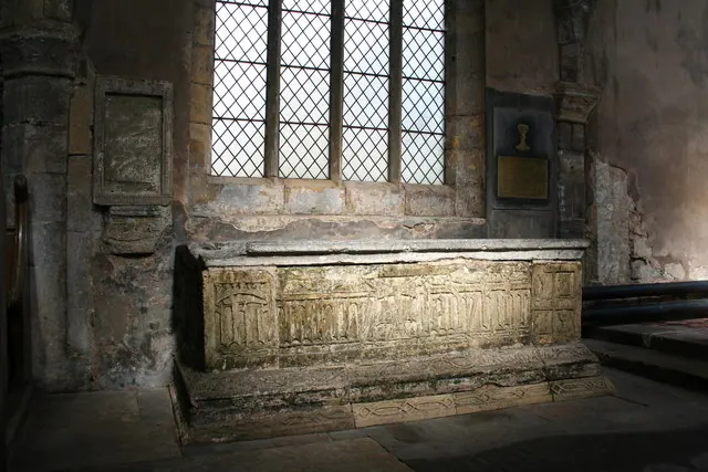
- Church of St Nicholas - 0.42 km
Grade II
- Outbuilding to Rear of Number 44A - 0.22 km
- 44A and 44B, King Street - 0.22 km
- Premises of Richard Law Fruit Shops and Flat Above - 0.25 km
- Tower Mill Immediately to East of Junction With Millfield Road - 0.25 km
- Settings Farmhouse - 0.31 km
- The White Hart Inn - 0.32 km
- Crimean War Memorial Pump - 0.35 km
- Travis Studio - 0.36 km
- Remains of Medieval Coffin Approximately 3 Metres to South of Porch to Church of St Nicholas - 0.42 km
- Churchyard Gatepiers Approximately 12 Metres South West of Porch to Church of St Nicholas - 0.42 km
- Number 1 Silver Street Including Number 31 Bridge Street - 0.44 km
- The Old Vicarage - 0.44 km
- Crimean War Memorial Pump Situated Approximately 20 Metres to West of North East Entrance to Park - 0.5 km
- Stonegate House (Now Masonic Hall) - 0.54 km
- Thorne Hall, Ellison Street, Thorne - 0.54 km
- Front Garden Wall and Gatepiers to Number 20 - 0.54 km
- Lockermarsh - 0.73 km
- River Don Wharf Opposite West End of Quay Road - 1.27 km
Scheduled Monuments Near Thorne
Scheduled monuments are nationally important archaeological sites given legal protection. 1 lies within roughly a mile of Thorne:
Thorne Today
Today Thorne lies within the administrative area of Doncaster, and the settlement recorded a population of 18,096 at the 2021 census. Nine and a half centuries separate that figure from the small rural community the Domesday survey recorded here in 1086.
Read more about modern Thorne on Wikipedia .
Nearby Domesday Settlements
Other places recorded in the 1086 survey within a few miles:
- Fishlake - 3.0 km W
- Tudworth Green - 3.0 km S
- Stainforth - 4.5 km SW
- Hatfield - 4.5 km SW
- Kirk Bramwith - 6.3 km W
- South Bramwith - 6.3 km W
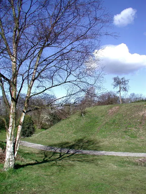
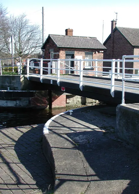
Heritage Around Thorne
Photographs of churches, listed buildings and monuments in the vicinity, contributed by volunteers to the Geograph project and reused here under a Creative Commons licence.
© Richard Croft · Geograph · CC BY-SA 2.0
© Paul Glazzard · Geograph · CC BY-SA 2.0
© Paul Glazzard · Geograph · CC BY-SA 2.0
Images © their respective photographers, licensed under CC BY-SA 2.0 and reused here with attribution. Photographs depict listed buildings, churches and monuments near this settlement and may show neighbouring villages.
Data derived from the Open Domesday project (opendomesday.org), based on the Domesday Book dataset compiled by Professor J.J.N. Palmer and team. The Domesday Book (1086) is in the public domain.
Found an inaccuracy? [email protected]