Thornborough in the Domesday Book (1086)
Thornborough appears in the Domesday Book of 1086, entered under the hundred of Burghshire in Yorkshire.
Other Settlements in Burghshire
- Addlethorpe
- Aismunderby
- Aldfield
- Allerton [Mauleverer]
- Arkendale
- Askwith
- Azerley
- Barrowby [Grange]
- Beckwith [House]
- Besthaim
- Bestham
- Bewerley
- Bilton
- Birstwith
The Meaning of the Name
The name Thornborough is of Anglo-Saxon origin. Its final element derives from the Old English word burh, a fortified place, while the first element appears to represent thorn-bushes. Taken together the name probably meant something close to ’the thorn-bushes stronghold’.
Remarkably, the name has changed little since 1086, when the Domesday scribes wrote it as Thornborough.
Listed Buildings Near Thornborough
Historic England records 12 listed buildings within about a mile of Thornborough. Listing protects structures of special architectural or historic interest, graded I (exceptional), II* (particularly important) and II.
Grade II*
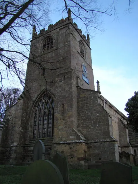
- Church of St Martin - 1.14 km
- Chapel of St Mary Attached to the Mansion - 1.26 km
Grade II
- Arched Entrance to Jetty or Boathouse on Lower Fish Pond South Side - 0.99 km
- Boathouse on Island of Lower Fish Pond - 1.01 km
- Bridge Over Path to Pleasure Grounds - 1.13 km
- Dovecote attached to the north of The Stables - 1.15 km
- The Stables - 1.16 km
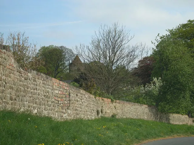
- Church Yard Wall and Piers, Church of St Martins - 1.16 km
- Summerhouse and Attached Archway Approximately 100 Metres North East of Mansion House - 1.16 km
- Bridge Between Middle and Lower Fish Pond - 1.16 km
- Icehouse - 1.21 km
- South Lodge and Attached Park Gate - 1.24 km
Nearby Domesday Settlements
Other places recorded in the 1086 survey within a few miles:
- Allerton Mauleverer - 1.4 km SW
- Cadretone - 1.4 km SW
- Whixley - 2.0 km E
- Hopperton - 2.0 km S
- Elwicks - 2.2 km NE
- Little Ouseburn - 2.8 km NE
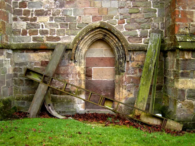
Heritage Around Thornborough
Photographs of churches, listed buildings and monuments in the vicinity, contributed by volunteers to the Geograph project and reused here under a Creative Commons licence.
© Carol Rose · Geograph · CC BY-SA 2.0
© David Rogers · Geograph · CC BY-SA 2.0
© Martyn Gorman · Geograph · CC BY-SA 2.0
Images © their respective photographers, licensed under CC BY-SA 2.0 and reused here with attribution. Photographs depict listed buildings, churches and monuments near this settlement and may show neighbouring villages.
Data derived from the Open Domesday project (opendomesday.org), based on the Domesday Book dataset compiled by Professor J.J.N. Palmer and team. The Domesday Book (1086) is in the public domain.
Found an inaccuracy? [email protected]