Thornaby in the Domesday Book (1086)
The settlement of Thornaby is recorded in William I’s Domesday survey of 1086, entered under the hundred of Langbaurgh in Yorkshire.
Other Settlements in Langbaurgh
- Acklam
- Airy [Holme]
- Aislaby
- Arnodestorp
- Baldebi
- Barnaby
- Barwick
- Battersby
- Bergolbi
- Berguluesbi
- Blaten [Carr]
- Borrowby
- Breck
- Brotton
The Meaning of the Name
The name Thornaby is of Scandinavian origin. Its final element derives from the Old Norse word bý, a farmstead or village, while the first element appears to represent thorn-bushes. Taken together the name probably meant something close to ’the thorn-bushes farmstead’.
Names of this type are a fingerprint of Scandinavian settlement: they cluster across the old Danelaw, where Norse-speaking settlers renamed or founded villages from the late 9th century onward.
Remarkably, the name has changed little since 1086, when the Domesday scribes wrote it as Thornaby.
Listed Buildings Near Thornaby
Historic England records 11 listed buildings within about a mile of Thornaby. Listing protects structures of special architectural or historic interest, graded I (exceptional), II* (particularly important) and II.
Grade II*
- Church of St Luke - 0.49 km
- Old Church of St Peter - 1.18 km
- Former Railway Tavern and workers’ housing built for the Stockton and Darlington Railway, 50-56 Bridge Road - 1.26 km
- Former Stockton and Darlington Railway weigh house - 1.28 km
Grade II
- Thornaby War Memorial - 0.44 km
- Church of St Paul - 0.55 km
- Former Town Hall - 0.96 km
- Green Farm House - 1.06 km
- Victoria Bridge - 1.1 km
- Glebe House - 1.15 km
- Walling of former railway coal depot, Stockton and Darlington Railway - 1.25 km
Thornaby Today
Today Thornaby lies within the administrative area of Stockton-on-Tees, and the settlement recorded a population of 23,350 at the 2021 census. Nine and a half centuries separate that figure from the small rural community the Domesday survey recorded here in 1086.
Nearby Domesday Settlements
Other places recorded in the 1086 survey within a few miles:
Heritage Around Thornaby
Photographs of churches, listed buildings and monuments in the vicinity, contributed by volunteers to the Geograph project and reused here under a Creative Commons licence.
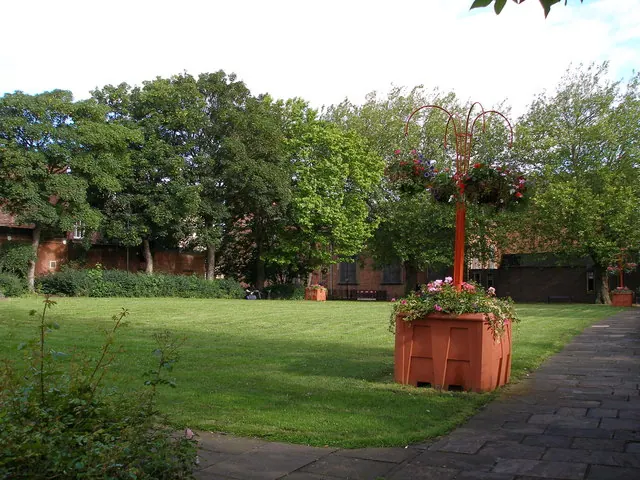
© Carol Rose · Geograph · CC BY-SA 2.0
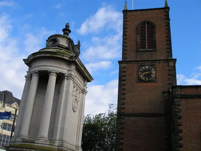
© Carol Rose · Geograph · CC BY-SA 2.0
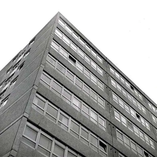
© Andrew Mellor · Geograph · CC BY-SA 2.0
Images © their respective photographers, licensed under CC BY-SA 2.0 and reused here with attribution. Photographs depict listed buildings, churches and monuments near this settlement and may show neighbouring villages.
Data derived from the Open Domesday project (opendomesday.org), based on the Domesday Book dataset compiled by Professor J.J.N. Palmer and team. The Domesday Book (1086) is in the public domain.
Found an inaccuracy? [email protected]