Thoralby in the Domesday Book (1086)
The 1086 Domesday survey records the settlement of Thoralby, entered under the hundred of Land of Count Alan in Yorkshire.
Other Settlements in Land of Count Alan
- Achebi
- Agglethorpe
- Ainderby [Mires]
- Ainderby [Quernhow]
- Aiskew
- Aldbrough
- Allerthorpe [Hall]
- Ascam
- Ascham
- Asebi
- Aske [Hall]
- Askrigg
- Aysgarth
- Baldersby
The Meaning of the Name
The name Thoralby is of Scandinavian origin. Its final element derives from the Old Norse word bý, a farmstead or village. The first element is most likely a personal name or an early descriptive term, now difficult to recover with certainty. Taken together the name probably meant something close to ‘a farmstead’.
Names of this type are a fingerprint of Scandinavian settlement: they cluster across the old Danelaw, where Norse-speaking settlers renamed or founded villages from the late 9th century onward.
Remarkably, the name has changed little since 1086, when the Domesday scribes wrote it as Thoralby.
Listed Buildings Near Thoralby
Historic England records 45 listed buildings within about a mile of Thoralby. Listing protects structures of special architectural or historic interest, graded I (exceptional), II* (particularly important) and II.
Grade II
- Holmeside - 0.32 km
- Barn Approximately 65 Metres to East-north-east of Chapel Garth - 0.42 km
- Hallgarth Farmhouse and Hallgarth Cottage - 0.44 km
- Post Office - 0.57 km
- K6 Telephone Kiosk on Village Green - 0.58 km
- High Green House - 0.59 km
- High Green Farmhouse - 0.59 km
- Warnford Court - 0.61 km
- Grove House - 0.61 km
- Old Chapel - 0.61 km
- Coach-house Approximately 5 Metres North-west of Warnford Court - 0.62 km
- Garden Wall With Summerhouse to North-east of Warnford Court - 0.63 km
- Kennels Approximately 3 Metres North of Coach-house at Warnford Court - 0.64 km
- Village Hall - 0.65 km
- The George Inn - 0.65 km
- Fernlea - 0.66 km
- Grange Cottage the Grange and Farmbuilding to Right - 0.67 km
- South View - 0.7 km
- Heaning Hall and Heaning Farmhouse - 0.7 km
- Rose Cottage - 0.77 km
- Town Head Farmhouse - 0.81 km
- The Grange - 0.87 km
- Brookside - 0.91 km
- The Cottage - 0.92 km
…and 21 more listed structures in the area.
Thoralby Today
Today Thoralby lies within the administrative area of Richmondshire, and the settlement recorded a population of 140 at the 2021 census. Nine and a half centuries separate that figure from the small rural community the Domesday survey recorded here in 1086.
Read more about modern Thoralby on Wikipedia .
Nearby Domesday Settlements
Other places recorded in the 1086 survey within a few miles:
- West Burton - 1.0 km E
- Eshingtons - 1.4 km NE
- Aysgarth - 2.0 km N
- Crooksby Barn - 2.2 km SW
- Carperby - 3.0 km N
- Thornton Rust - 3.6 km NW
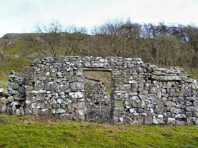
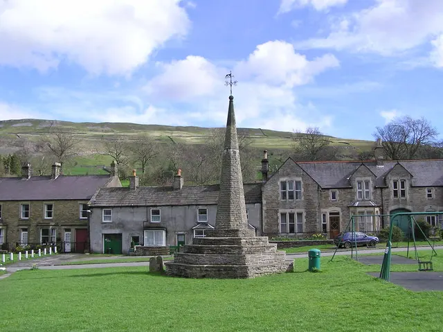
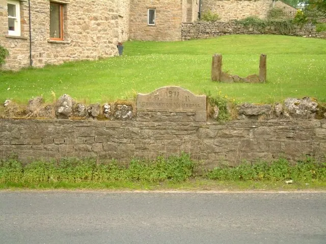
Heritage Around Thoralby
Photographs of churches, listed buildings and monuments in the vicinity, contributed by volunteers to the Geograph project and reused here under a Creative Commons licence.
© Arnold Price · Geograph · CC BY-SA 2.0
© Arnold Price · Geograph · CC BY-SA 2.0
© Jeff Tomlinson · Geograph · CC BY-SA 2.0
Images © their respective photographers, licensed under CC BY-SA 2.0 and reused here with attribution. Photographs depict listed buildings, churches and monuments near this settlement and may show neighbouring villages.
Location
54.2740°N, -1.9923°W · Land of Count Alan hundred, Yorkshire
View larger map on OpenStreetMap →Data derived from the Open Domesday project (opendomesday.org), based on the Domesday Book dataset compiled by Professor J.J.N. Palmer and team. The Domesday Book (1086) is in the public domain.
Found an inaccuracy? [email protected]