Thirtleby in the Domesday Book (1086)
Thirtleby is named in the Domesday Book, compiled by Norman commissioners in 1086, entered under the hundred of Holderness [Middle Hundred] in Yorkshire. The survey assessed Thirtleby at 87 carucates of taxable land.
At the time of the survey, Thirtleby supported a recorded population of 30 villagers, working 9 ploughs between them.
Something went badly wrong here between the two surveys. Before 1066, Thirtleby was worth 88 shillings; by 1086 that had dropped to 1.01 shillings – a fall of 98%. Most Yorkshire villages that lost value on this scale were swept up in the Harrying of the North – William’s scorched-earth campaign of 1069–70.
Resources Recorded at Thirtleby (1086)
- Meadow: 0.5 * 0.5 leagues & 20 acres mixed measures
- Woodland: 16 * 4 leagues
Other Settlements in Holderness [Middle Hundred]
- Aldbrough
- Benningholme [Hall]
- Bewick [Hall]
- Bilton
- Burton [Constable]
- Burton [Pidsea]
- Conis[ton]
- Danthorpe
- Dowthorpe [Hall]
- Drypool
- Ellerby
- Elstronwick
- Eske
- Etherdwick
The Meaning of the Name
The name Thirtleby is of Scandinavian origin. Its final element derives from the Old Norse word bý, a farmstead or village. The first element is most likely a personal name or an early descriptive term, now difficult to recover with certainty. Taken together the name probably meant something close to ‘a farmstead’.
Names of this type are a fingerprint of Scandinavian settlement: they cluster across the old Danelaw, where Norse-speaking settlers renamed or founded villages from the late 9th century onward.
Remarkably, the name has changed little since 1086, when the Domesday scribes wrote it as Thirtleby.
Listed Buildings Near Thirtleby
Historic England records 7 listed buildings within about a mile of Thirtleby. Listing protects structures of special architectural or historic interest, graded I (exceptional), II* (particularly important) and II.
Grade II
- Wyton Hall - 0.93 km
- Ha-ha at Wyton Hall - 0.98 km
- Southfield Farmhouse - 1.07 km
- Wyton Lodge - 1.08 km
- Wyton Abbey - 1.11 km
- The Red House - 1.13 km
- Wesleyan Chapel - 1.21 km
Thirtleby Today
Today Thirtleby lies within the administrative area of Coniston.
Read more about modern Thirtleby on Wikipedia .
Nearby Domesday Settlements
Other places recorded in the 1086 survey within a few miles:
Heritage Around Thirtleby
Photographs of churches, listed buildings and monuments in the vicinity, contributed by volunteers to the Geograph project and reused here under a Creative Commons licence.
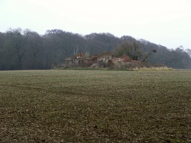
© Andy Beecroft · Geograph · CC BY-SA 2.0
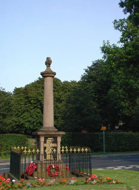
© Paul Glazzard · Geograph · CC BY-SA 2.0
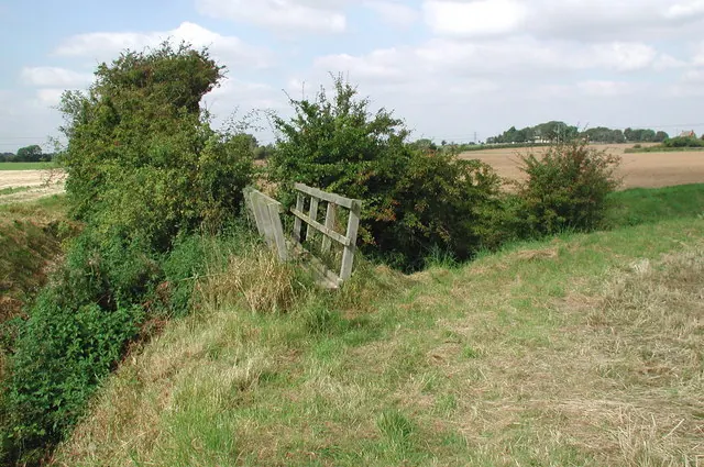
© Paul Glazzard · Geograph · CC BY-SA 2.0
Images © their respective photographers, licensed under CC BY-SA 2.0 and reused here with attribution. Photographs depict listed buildings, churches and monuments near this settlement and may show neighbouring villages.
Location
53.7933°N, -0.2160°W · Holderness [Middle Hundred] hundred, Yorkshire
View larger map on OpenStreetMap →Data derived from the Open Domesday project (opendomesday.org), based on the Domesday Book dataset compiled by Professor J.J.N. Palmer and team. The Domesday Book (1086) is in the public domain.
Found an inaccuracy? [email protected]