Thirley Cotes in the Domesday Book (1086)
Thirley Cotes appears in the Domesday Book of 1086, entered under the hundred of Dic in Yorkshire.
Other Settlements in Dic
- Aislaby
- Allerston
- Appleton [le Moors]
- Aschelesmersc
- Aschilesmares
- Barton [le Street]
- Baschebi
- Baschesbi
- Brompton
- Burniston
- Burton [Dale]
- Cawthorn
- Cayton
- Chigogemers
The Meaning of the Name
The name Thirley Cotes is of Anglo-Saxon origin. Its final element derives from the Old English word lēah, a woodland clearing or glade. The first element is most likely a personal name or an early descriptive term, now difficult to recover with certainty. Taken together the name probably meant something close to ‘a clearing’.
Remarkably, the name has changed little since 1086, when the Domesday scribes wrote it as Thirley Cotes.
Listed Buildings Near Thirley Cotes
Historic England records 3 listed buildings within about a mile of Thirley Cotes. Listing protects structures of special architectural or historic interest, graded I (exceptional), II* (particularly important) and II.
Grade II
- Thirley Cote Farmhouse - 0.43 km
- Thirley Banks Cottage - 0.45 km
- Thirley Beck Farmhouse - 1.05 km
Scheduled Monuments Near Thirley Cotes
Scheduled monuments are nationally important archaeological sites given legal protection. 5 lie within roughly a mile of Thirley Cotes:
- Round barrow 360m north east of Brooklands Farm - 1.11 km
- Round barrow 150m south of Thirley Beck Farm - 1.18 km
- Cairnfield 540m north west of Linglands Farm - 1.44 km
- Cairnfield on Standingstones Rigg, including a cup and ring marked rock 780m and 800m north west of Linglands Farm - 1.45 km
- Round barrow on Surgate Brow known as Swarth Howe - 1.53 km
Nearby Domesday Settlements
Other places recorded in the 1086 survey within a few miles:
- Cloughton - 3.2 km E
- Staintondale - 3.6 km NE
- Burniston - 5.0 km SE
- Hackness - 5.1 km S
- Northfield Farm - 5.1 km S
- Suffield - 5.1 km S
Heritage Around Thirley [Cotes]
Photographs of churches, listed buildings and monuments in the vicinity, contributed by volunteers to the Geograph project and reused here under a Creative Commons licence.
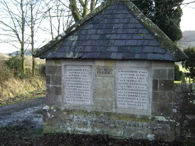
© Martin Dawes · Geograph · CC BY-SA 2.0
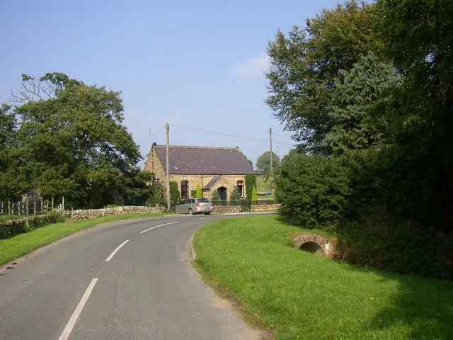
© Humphrey Bolton · Geograph · CC BY-SA 2.0
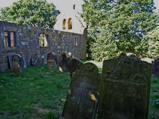
© Oliver Dixon · Geograph · CC BY-SA 2.0
Images © their respective photographers, licensed under CC BY-SA 2.0 and reused here with attribution. Photographs depict listed buildings, churches and monuments near this settlement and may show neighbouring villages.
Data derived from the Open Domesday project (opendomesday.org), based on the Domesday Book dataset compiled by Professor J.J.N. Palmer and team. The Domesday Book (1086) is in the public domain.
Found an inaccuracy? [email protected]