Tharlesthorpe in the Domesday Book (1086)
Tharlesthorpe is named in the Domesday Book, compiled by Norman commissioners in 1086, entered under the hundred of Holderness [South Hundred] in Yorkshire. The survey assessed Tharlesthorpe at 10 carucates of taxable land.
At the time of the survey, Tharlesthorpe supported a recorded population of 16 villagers, 4 smallholders, 3 slaves, working 10 ploughs between them.
By 1086 Tharlesthorpe was worth 9.66 shillings, up from 7.66 shillings before the Conquest – in contrast to many Yorkshire neighbours whose valuations collapsed.
The survey lists 2 manors at Tharlesthorpe under different lords. Splitting a single settlement between multiple tenants was common across the North – Saxon estates broken up and handed to William’s followers after 1066.
Resources Recorded at Tharlesthorpe (1086)
- Woodland: 60 None
Other Settlements in Holderness [South Hundred]
- Andrebi
- Burstwick
- Camerton [Hall]
- Dimlington
- Easington
- Grimston
- Halsham
- Hilston
- Hollym
- Holmpton
- Keyingham
- Kilnsea
- Monkwith
- Newton [Garth]
The Meaning of the Name
The name Tharlesthorpe is of Scandinavian origin. Its final element derives from the Old Norse word þorp, an outlying or secondary farmstead. The first element is most likely a personal name or an early descriptive term, now difficult to recover with certainty. Taken together the name probably meant something close to ‘a outlying farm’.
Names of this type are a fingerprint of Scandinavian settlement: they cluster across the old Danelaw, where Norse-speaking settlers renamed or founded villages from the late 9th century onward.
Remarkably, the name has changed little since 1086, when the Domesday scribes wrote it as Tharlesthorpe.
Listed Buildings Near Tharlesthorpe
Historic England records 2 listed buildings within about a mile of Tharlesthorpe. Listing protects structures of special architectural or historic interest, graded I (exceptional), II* (particularly important) and II.
Grade II
- Stable/granary Approximately 20 Metres North East of Chapel Farmhouse - 0.83 km
- Chapel Farmhouse - 0.85 km
Scheduled Monuments Near Tharlesthorpe
Scheduled monuments are nationally important archaeological sites given legal protection. 1 lies within roughly a mile of Tharlesthorpe:
Nearby Domesday Settlements
Other places recorded in the 1086 survey within a few miles:
- Paull - 5.0 km NE
- Paull Holme - 5.4 km E
- Drypool - 6.7 km NW
- Newton Garth - 7.1 km NE
- Marfleet - 7.1 km N
- South Skirlaugh - 7.1 km N
Heritage Around Tharlesthorpe
Photographs of churches, listed buildings and monuments in the vicinity, contributed by volunteers to the Geograph project and reused here under a Creative Commons licence.
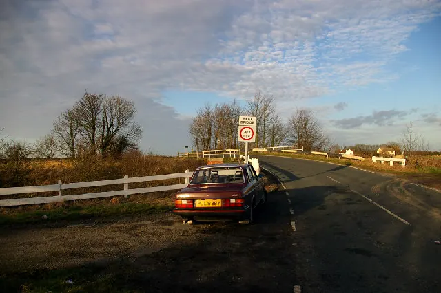
© David Wright · Geograph · CC BY-SA 2.0
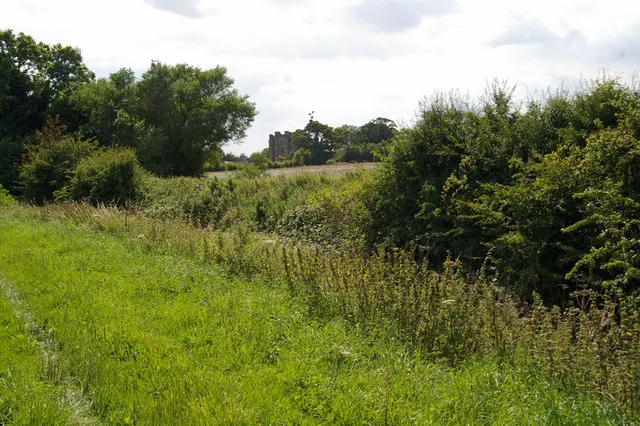
© David Wright · Geograph · CC BY-SA 2.0
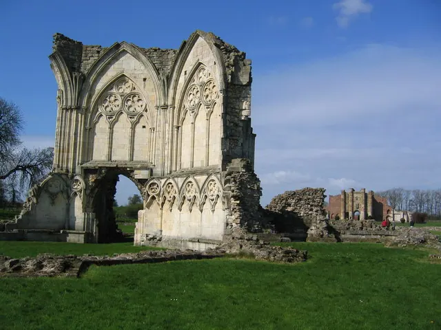
© Simon Fidler · Geograph · CC BY-SA 2.0
Images © their respective photographers, licensed under CC BY-SA 2.0 and reused here with attribution. Photographs depict listed buildings, churches and monuments near this settlement and may show neighbouring villages.
Location
53.6864°N, -0.2811°W · Holderness [South Hundred] hundred, Yorkshire
View larger map on OpenStreetMap →Data derived from the Open Domesday project (opendomesday.org), based on the Domesday Book dataset compiled by Professor J.J.N. Palmer and team. The Domesday Book (1086) is in the public domain.
Found an inaccuracy? [email protected]