Tetton in the Domesday Book (1086)
The 1086 Domesday survey records the settlement of Tetton, entered under the hundred of Middlewich in Cheshire.
Other Settlements in Middlewich
- Alsager
- Bostock
- Brereton
- Byley
- Clive
- Congleton
- Croxton
- Davenham
- Davenport
- Goostrey
- Hassall
- Kinderton
- Lach [Dennis]
- Leftwich
The Meaning of the Name
The name Tetton is of Anglo-Saxon origin. Its final element derives from the Old English word tūn, a farmstead or village. The first element is most likely a personal name or an early descriptive term, now difficult to recover with certainty. Taken together the name probably meant something close to ‘a farmstead’.
Remarkably, the name has changed little since 1086, when the Domesday scribes wrote it as Tetton.
Listed Buildings Near Tetton
Historic England records 5 listed buildings within about a mile of Tetton. Listing protects structures of special architectural or historic interest, graded I (exceptional), II* (particularly important) and II.
Grade II
- Milepost 200 Metres South East of Tetton Lane Junction - 0.74 km
- Trent and Mersey Canal Bridge Number 614 - 0.95 km
- Canal Milepost South of Bridge no 164 at Sj 7255 6348 - 0.95 km
- Trent and Mersey Canal Rumps Lock - 1.01 km
- Trent and Mersey Canal, Canal Milepost Immediately North of Rumps Lock - 1.05 km
Tetton Today
Today Tetton lies within the administrative area of Cheshire.
Nearby Domesday Settlements
Other places recorded in the 1086 survey within a few miles:
- Sutton - 1.4 km NW
- Occleston - 2.2 km SW
- Newton - 2.2 km NW
- Wimboldsley - 3.2 km W
- Middlewich - 3.2 km N
- Kinderton - 3.2 km N
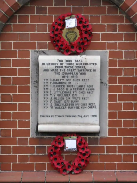
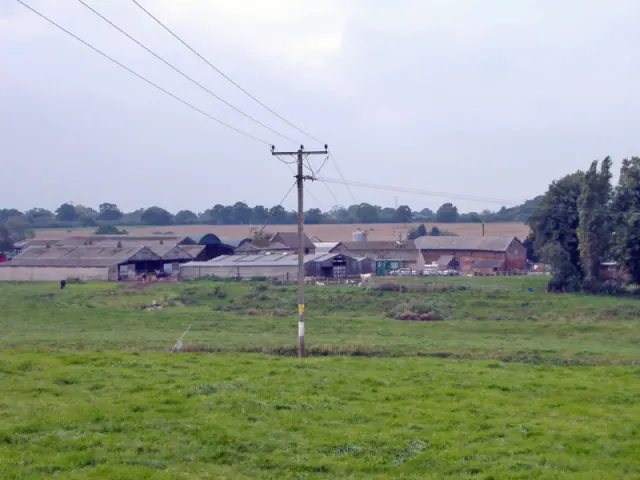
Heritage Around Tetton
Photographs of churches, listed buildings and monuments in the vicinity, contributed by volunteers to the Geograph project and reused here under a Creative Commons licence.
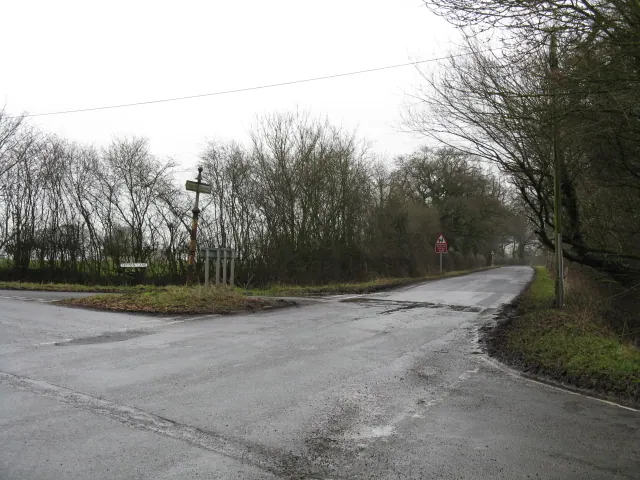
© Peter Whatley · Geograph · CC BY-SA 2.0
© Peter Whatley · Geograph · CC BY-SA 2.0
© Mike Harris · Geograph · CC BY-SA 2.0
Images © their respective photographers, licensed under CC BY-SA 2.0 and reused here with attribution. Photographs depict listed buildings, churches and monuments near this settlement and may show neighbouring villages.
Data derived from the Open Domesday project (opendomesday.org), based on the Domesday Book dataset compiled by Professor J.J.N. Palmer and team. The Domesday Book (1086) is in the public domain.
Found an inaccuracy? [email protected]