Temple Newsam in the Domesday Book (1086)
The 1086 Domesday survey records the settlement of Temple Newsam, entered under the hundred of Skyrack in Yorkshire.
Other Settlements in Skyrack
- Adel
- Allerton [Bywater]
- Alwoodley
- Arthington
- Austhorpe
- Baildon
- Bardsey
- Barwick [in Elmet]
- Bichertun
- Bicherun
- Bingley
- Birkby [Hill]
- Bramhope
- Burden [Head]
The Meaning of the Name
The origin of the name Temple Newsam is not securely established from its modern form alone; like many settlement names in the North it likely combines an Old English or Old Norse personal name with a landscape term.
Remarkably, the name has changed little since 1086, when the Domesday scribes wrote it as Temple Newsam.
Listed Buildings Near Temple Newsam
Historic England records 12 listed buildings within about a mile of Temple Newsam. Listing protects structures of special architectural or historic interest, graded I (exceptional), II* (particularly important) and II.
Grade II*
- Leventhorpe Hall - 0.51 km
Grade II
- Lawn Farmhouse - 0.15 km
- Newsam Green Farmhouse - 0.23 km
- Lodge to Leventhorpe Hall - 0.67 km
- Gate Piers - 0.68 km
- Leventhorpe Cottages - 0.68 km
- Gazebo in south east corner of garden to south of ‘The Orchards’ - 0.77 km
- Dovecote and stables/outbuilding approximately 20 metres north of Gamblethorpe Farmhouse - 0.89 km
- Bridge Farmhouse - 1.19 km
- Swillington Bridge - 1.22 km
- South Lodge to Swillington Park - 1.23 km
- Church of All Saints - 1.25 km
Scheduled Monuments Near Temple Newsam
Scheduled monuments are nationally important archaeological sites given legal protection. 2 lie within roughly a mile of Temple Newsam:
- Length of Grim’s Ditch immediately north of Gamblethorpe - 0.89 km
- Length of Grim’s Ditch partly under Bullerthorpe Lane 620m north of Gamblethorpe - 1.08 km
Temple Newsam Today
Today Temple Newsam lies within the administrative area of Leeds.
Nearby Domesday Settlements
Other places recorded in the 1086 survey within a few miles:
- Scotton Thorpe - 1.4 km SW
- Great and Little Preston - 2.0 km E
- Swillington - 2.0 km E
- Thorpe Stapleton - 2.0 km W
- Colton - 2.0 km N
- Rothwell - 2.8 km SW
Heritage Around [Temple] Newsam
Photographs of churches, listed buildings and monuments in the vicinity, contributed by volunteers to the Geograph project and reused here under a Creative Commons licence.
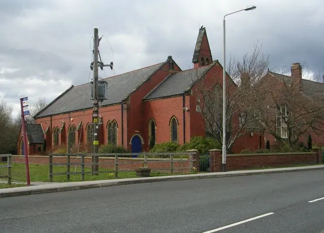
© Betty Longbottom · Geograph · CC BY-SA 2.0
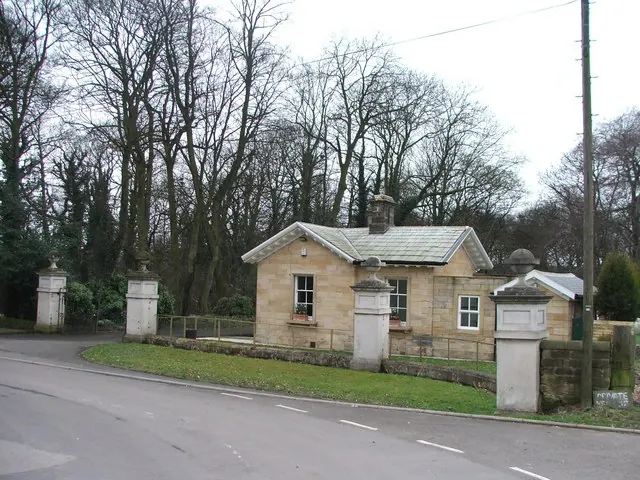
© Steve Partridge · Geograph · CC BY-SA 2.0
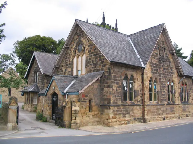
© Mick Melvin · Geograph · CC BY-SA 2.0
Images © their respective photographers, licensed under CC BY-SA 2.0 and reused here with attribution. Photographs depict listed buildings, churches and monuments near this settlement and may show neighbouring villages.
Data derived from the Open Domesday project (opendomesday.org), based on the Domesday Book dataset compiled by Professor J.J.N. Palmer and team. The Domesday Book (1086) is in the public domain.
Found an inaccuracy? [email protected]