Tatton in the Domesday Book (1086)
The settlement of Tatton is recorded in William I’s Domesday survey of 1086, entered under the hundred of Bucklow in Cheshire.
Other Settlements in Bucklow
- Appleton
- Ashley
- Aston [by Budworth]
- Aston [by Sutton]
- Bartington
- Clifton
- Dunham [Massey]
- Eanley
- Grappenhall
- Lymm
- Mobberley
- Northenden
- Norton
- Ollerton
The Meaning of the Name
The name Tatton is of Anglo-Saxon origin. Its final element derives from the Old English word tūn, a farmstead or village. The first element is most likely a personal name or an early descriptive term, now difficult to recover with certainty. Taken together the name probably meant something close to ‘a farmstead’.
Remarkably, the name has changed little since 1086, when the Domesday scribes wrote it as Tatton.
Listed Buildings Near Tatton
Historic England records 26 listed buildings within about a mile of Tatton. Listing protects structures of special architectural or historic interest, graded I (exceptional), II* (particularly important) and II.
Grade I
- Tatton Hall - 0.14 km
Grade II*
- Palm House to west of Orangery - 0.21 km
Grade II
- Wall and Balustrade of Lower Terrace. Garden Before South Front of Tatton Hall - 0.04 km
- Western Vase on Lower Terrace, Garden Before South Front of Tatton Hall - 0.06 km
- Eastern Vase on Lower Terrace Garden Before South Front of Tatton Hall - 0.06 km
- Pool Wall and Triton Fountain in Lower Terrace Garden Before South Front of Tatton Hall - 0.06 km
- Flight of Steps Between Intermediate and Lower Terrace of Garden Before South Front of Tatton Hall - 0.07 km
- Upper Terrace Wall, Garden Before South Front of Tatton Hall - 0.09 km
- Orangery - 0.17 km
- Pool and Fountain Before South Front of Orangery - 0.19 km
- Walls to Service Court Tatton Hall - 0.21 km
- South Wall of Eastern Kitchen Garden - 0.26 km
- Stable block, Tatton Hall. - 0.27 km
- North and East Walls of Eastern Kitchen Garden - 0.27 km
- Stone Wall and Hothouses in Western Kitchen Garden - 0.31 km
- Walls of western kitchen garden - 0.34 km
- Shinto Temple - 0.37 km
- Temple in Broad Walk - 0.39 km
- Stable Block and Barn to Home Farm - 0.81 km
- Pigeon Loft, Home Farm - 0.83 km
- Dale Cottage - 0.88 km
- Mere Lodge - 0.92 km
- Thatched Cottage - 0.97 km
- Cruck Barn at Tatton Old Hall - 1.02 km
…and 2 more listed structures in the area.
Scheduled Monuments Near Tatton
Scheduled monuments are nationally important archaeological sites given legal protection. 1 lies within roughly a mile of Tatton:
Tatton Today
Today Tatton lies within the administrative area of Millington and Rostherne, and the settlement recorded a population of 16 at the 2021 census. Nine and a half centuries separate that figure from the small rural community the Domesday survey recorded here in 1086.
Read more about modern Tatton on Wikipedia .
Nearby Domesday Settlements
Other places recorded in the 1086 survey within a few miles:
- Mere - 2.0 km W
- Rostherne - 2.0 km N
- Over Tabley - 2.2 km SW
- Knutsford - 3.2 km S
- Millington - 3.6 km NW
- Nether Tabley - 3.6 km SW
Heritage Around Tatton
Photographs of churches, listed buildings and monuments in the vicinity, contributed by volunteers to the Geograph project and reused here under a Creative Commons licence.
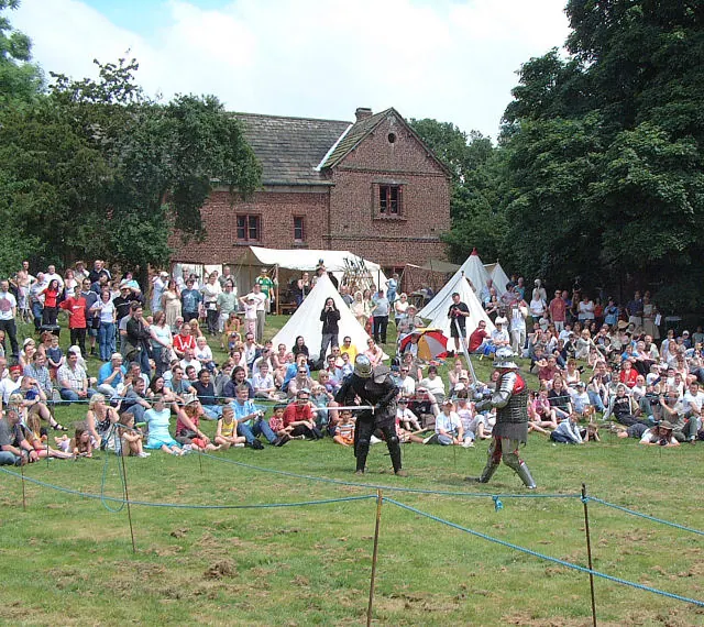
© Gary Rogers · Geograph · CC BY-SA 2.0
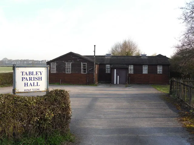
© Iain Lees · Geograph · CC BY-SA 2.0
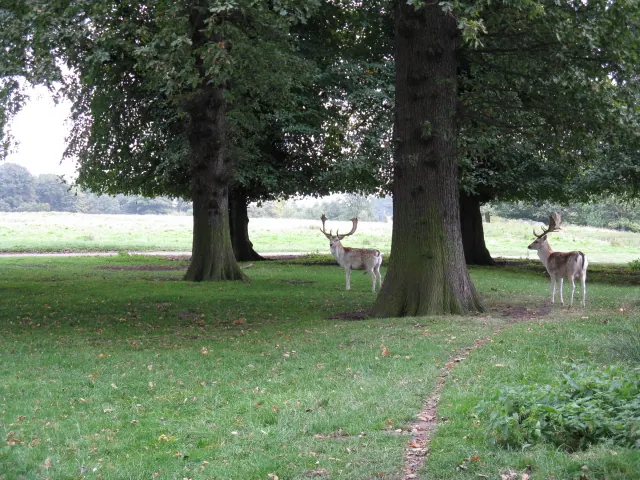
© Peter Whatley · Geograph · CC BY-SA 2.0
Images © their respective photographers, licensed under CC BY-SA 2.0 and reused here with attribution. Photographs depict listed buildings, churches and monuments near this settlement and may show neighbouring villages.
Data derived from the Open Domesday project (opendomesday.org), based on the Domesday Book dataset compiled by Professor J.J.N. Palmer and team. The Domesday Book (1086) is in the public domain.
Found an inaccuracy? [email protected]