Tatham in the Domesday Book (1086)
The settlement of Tatham is recorded in William I’s Domesday survey of 1086, entered under the hundred of Amounderness in Yorkshire.
Other Settlements in Amounderness
- Aighton
- Aldcliffe
- Aldingham
- Arkholme
- Aschebi
- Ashton [Hall]
- Ashton [on Ribble]
- Austwick
- Barbon
- Bardsea
- Bare
- Barnoldswick
- Barton
- Beetham
The Meaning of the Name
The name Tatham is of Anglo-Saxon origin. Its final element derives from the Old English word hām, a homestead or village. The first element is most likely a personal name or an early descriptive term, now difficult to recover with certainty. Taken together the name probably meant something close to ‘a homestead’.
Remarkably, the name has changed little since 1086, when the Domesday scribes wrote it as Tatham.
Listed Buildings Near Tatham
Historic England records 12 listed buildings within about a mile of Tatham. Listing protects structures of special architectural or historic interest, graded I (exceptional), II* (particularly important) and II.
Grade II*
- Church of St James - 0.06 km
Grade II
- Old Rectory - 0.05 km
- Tatham Bridge Inn - 0.65 km
- Bridge Inn Cottage - 0.65 km
- Ridleys - 0.8 km
- Wenning Cottage - 1.04 km
- Boundary Stone - 1.15 km
- Wennington Bridge - 1.21 km
- Pound on North-east Side of Wennington Bridge - 1.24 km
- Station House - 1.28 km
- Station Farmhouse and Barn Adjoining to East - 1.29 km
- Oak Cottage and Garden Cottage and Former Barn Adjoining - 1.29 km
Scheduled Monuments Near Tatham
Scheduled monuments are nationally important archaeological sites given legal protection. 1 lies within roughly a mile of Tatham:
Tatham Today
Today Tatham lies within the administrative area of Lancaster, and the settlement recorded a population of 419 at the 2021 census. Nine and a half centuries separate that figure from the small rural community the Domesday survey recorded here in 1086.
Read more about modern Tatham on Wikipedia .
Nearby Domesday Settlements
Other places recorded in the 1086 survey within a few miles:
- Wennington - 1.4 km NE
- Hornby - 2.2 km SW
- Melling - 2.2 km NW
- Gressingham - 3.0 km W
- Farleton - 3.6 km SW
- Arkholme - 3.6 km NW
Heritage Around Tatham
Photographs of churches, listed buildings and monuments in the vicinity, contributed by volunteers to the Geograph project and reused here under a Creative Commons licence.
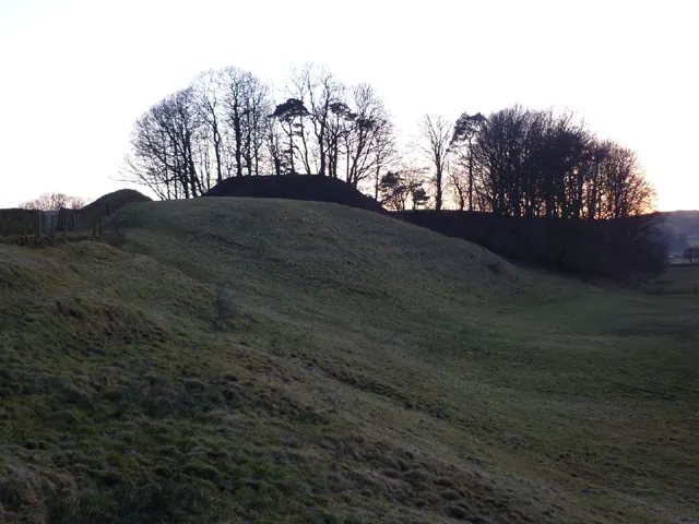
© Karl and Ali · Geograph · CC BY-SA 2.0
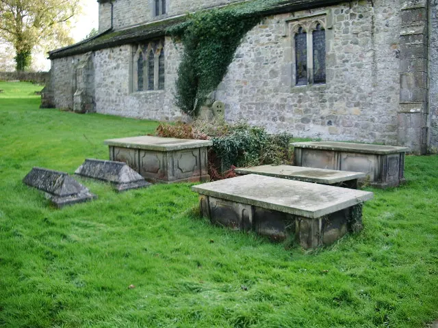
© Alexander P Kapp · Geograph · CC BY-SA 2.0
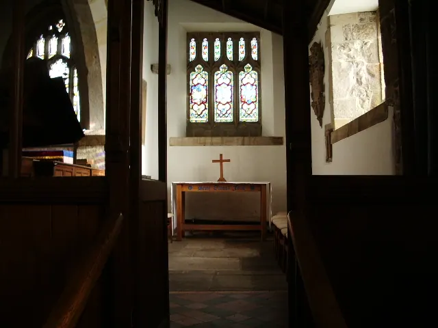
© Alexander P Kapp · Geograph · CC BY-SA 2.0
Images © their respective photographers, licensed under CC BY-SA 2.0 and reused here with attribution. Photographs depict listed buildings, churches and monuments near this settlement and may show neighbouring villages.
Data derived from the Open Domesday project (opendomesday.org), based on the Domesday Book dataset compiled by Professor J.J.N. Palmer and team. The Domesday Book (1086) is in the public domain.
Found an inaccuracy? [email protected]