Tapton in the Domesday Book (1086)
Tapton is named in the Domesday Book, compiled by Norman commissioners in 1086, entered under the hundred of Scarsdale in Derbyshire.
Other Settlements in Scarsdale
- Alfreton
- Ashover
- Barlborough
- Barlow
- Beighton
- Blingsby
- Bolsover
- Boythorpe
- Bramley [Vale]
- Brimington
- Calow
- Chesterfield
- Clowne
- Dore
The Meaning of the Name
The name Tapton is of Anglo-Saxon origin. Its final element derives from the Old English word tūn, a farmstead or village. The first element is most likely a personal name or an early descriptive term, now difficult to recover with certainty. Taken together the name probably meant something close to ‘a farmstead’.
Remarkably, the name has changed little since 1086, when the Domesday scribes wrote it as Tapton.
Listed Buildings Near Tapton
Historic England records 22 listed buildings within about a mile of Tapton. Listing protects structures of special architectural or historic interest, graded I (exceptional), II* (particularly important) and II.
Grade II*
- Tapton House - 0.5 km
- Tapton Grove - 0.53 km
Grade II
- Gatepiers at Drive Entrance (To Tapton Grange/manor/grove) - 0.19 km
- Gatepiers at Tapton House - 0.57 km
- Mounting Block Outside Entrance Gates to Tapton House - 0.58 km
- Stables at Tapton Grove (To East of House) - 0.6 km
- Crewe Cottage - 0.6 km
- Tapton Manor - 0.61 km
- Chesterfield Canal, Tapton Hill Bridge Over Chesterfield Canal (First Bridge to North of Canal Junction With River Rother) - 0.78 km
- The Court House (Including Range of Adjoining Buildings) - 0.9 km
- Tapton Lock - 1.0 km
- Dobbin Clough Farmhouse and Attached Barn to South of House - 1.05 km
- The Manor House - 1.14 km
- Street Boundary Wall and Gatepiers at the Manor House - 1.16 km
- Sutton Lodge - 1.19 km
- Grove Farmhouse - 1.2 km
- Range of Farm Buildings to North East and South East of Grove Farmhouse, Street Boundary Walls and Gatepiers at Grove Farmhouse - 1.22 km
- 64 Station Road - 1.23 km
- Brimington Memorial Gates - 1.23 km
- Former Threshing Barn to North East of Plover Hill Farmhouse - 1.28 km
- Plover Hill Farmhouse - 1.29 km
- Large Centre Block to Brimington County Junior Mixed School - 1.29 km
Scheduled Monuments Near Tapton
Scheduled monuments are nationally important archaeological sites given legal protection. 1 lies within roughly a mile of Tapton:
- Tapton Castle motte - 0.55 km
Tapton Today
Today Tapton lies within the administrative area of Chesterfield.
Read more about modern Tapton on Wikipedia .
Nearby Domesday Settlements
Other places recorded in the 1086 survey within a few miles:
- Brimington - 1.4 km NE
- Chesterfield - 1.4 km SW
- Calow - 1.4 km SE
- Old Whittington - 2.2 km NW
- Boythorpe - 3.6 km SW
- Newbold and Upper Newbold - 4.1 km W
Heritage Around Tapton
Photographs of churches, listed buildings and monuments in the vicinity, contributed by volunteers to the Geograph project and reused here under a Creative Commons licence.
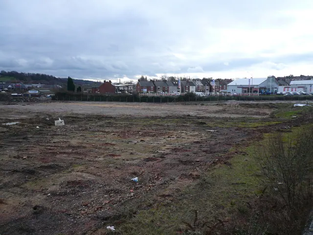
© Alan Heardman · Geograph · CC BY-SA 2.0

© Alan Heardman · Geograph · CC BY-SA 2.0
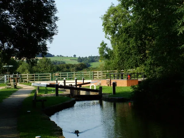
© Richard Newall · Geograph · CC BY-SA 2.0
Images © their respective photographers, licensed under CC BY-SA 2.0 and reused here with attribution. Photographs depict listed buildings, churches and monuments near this settlement and may show neighbouring villages.
Data derived from the Open Domesday project (opendomesday.org), based on the Domesday Book dataset compiled by Professor J.J.N. Palmer and team. The Domesday Book (1086) is in the public domain.
Found an inaccuracy? [email protected]