Tanshelf in the Domesday Book (1086)
Tanshelf is named in the Domesday Book, compiled by Norman commissioners in 1086, entered under the hundred of Osgodcross in Yorkshire. The survey assessed Tanshelf at 6 carucates of taxable land.
Most significantly, Tanshelf is recorded as waste in 1086 - land rendered uninhabitable and valueless. Before the Conquest, the settlement had been assessed at 1 shilling; by 1086 that value had collapsed entirely. This pattern - prosperity before 1066, devastation by 1086 - is the unmistakable signature of the Harrying of the North , William I’s campaign of systematic destruction across Yorkshire in 1069–70.
Other Settlements in Osgodcross
- Arksey
- Badsworth
- Beal
- Burgh[wallis]
- Campsall
- Darrington
- Featherstone
- Ferry [Fryston]
- Hamphall [Stubbs]
- Hensall
- Hessle
- Kellington
- Knottingley
- Minsthorpe
The Meaning of the Name
The origin of the name Tanshelf is not securely established from its modern form alone; like many settlement names in the North it likely combines an Old English or Old Norse personal name with a landscape term.
Remarkably, the name has changed little since 1086, when the Domesday scribes wrote it as Tanshelf.
Listed Buildings Near Tanshelf
Historic England records 61 listed buildings within about a mile of Tanshelf. Listing protects structures of special architectural or historic interest, graded I (exceptional), II* (particularly important) and II.
Grade II*
- Old Town Hall - 0.52 km
- Red Lion Hotel - 0.54 km
- Barclays Bank and attached railings - 0.56 km
Grade II
- 97-120 Northgate Lodge - 0.2 km
- Mortuary Chapel - 0.25 km
- Gateway and Lodges for Old Military Depot - 0.29 km
- 3-7, Wool Market - 0.47 km
- 3 and 5, Bridge Street - 0.48 km
- 15, Wool Market - 0.49 km
- The Horse Vaults Public House - 0.5 km
- 2-6, Castle Chain - 0.5 km
- Town Hall - 0.52 km
- 4 and 6, Market Place - 0.52 km
- 2 and 4, Gillygate - 0.53 km
- 10, Market Place - 0.53 km
- Pontefract Museum - 0.53 km
- 8, Market Place - 0.53 km
- 1, Market Place - 0.54 km
- The Green Dragon Public House - 0.55 km
- 3, Market Place - 0.55 km
- Market Hall - 0.55 km
- 9, Market Place - 0.56 km
- Number 22 and 24 Including the Shop Premises on the Corner of Corn Market and Shoe Market - 0.57 km
- 11, Market Place - 0.57 km
…and 37 more listed structures in the area.
Scheduled Monuments Near Tanshelf
Scheduled monuments are nationally important archaeological sites given legal protection. 2 lie within roughly a mile of Tanshelf:
- Pontefract Castle: part of late Saxon cemetery and town ditch, Norman motte and bailey castle and later medieval enclosure castle - 0.47 km
- St John’s Priory - 0.7 km
Tanshelf Today
Today Tanshelf lies within the administrative area of West Riding of Yorkshire.
Nearby Domesday Settlements
Other places recorded in the 1086 survey within a few miles:
- Glass Houghton - 2.8 km NW
- Featherstone - 3.0 km W
- Ferry Fryston - 3.6 km NE
- Darrington - 3.6 km SE
- Wheldale - 4.0 km N
- Ackton - 4.1 km W
Heritage Around Tanshelf
Photographs of churches, listed buildings and monuments in the vicinity, contributed by volunteers to the Geograph project and reused here under a Creative Commons licence.
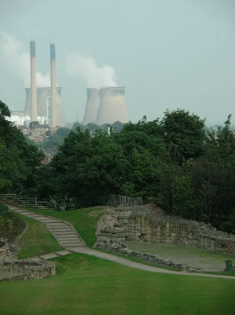
© Paul Johnston-Knight · Geograph · CC BY-SA 2.0
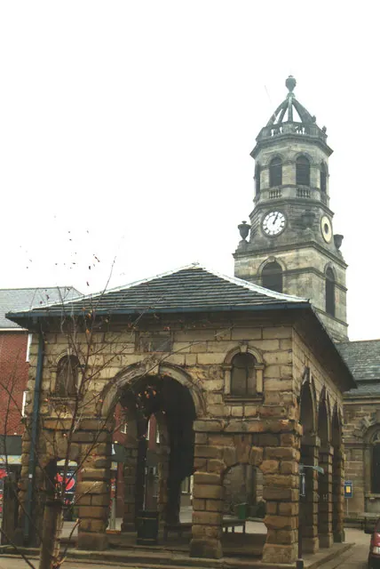
© Bill Henderson · Geograph · CC BY-SA 2.0
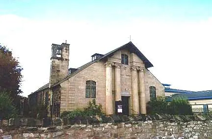
© Bill Henderson · Geograph · CC BY-SA 2.0
Images © their respective photographers, licensed under CC BY-SA 2.0 and reused here with attribution. Photographs depict listed buildings, churches and monuments near this settlement and may show neighbouring villages.
Data derived from the Open Domesday project (opendomesday.org), based on the Domesday Book dataset compiled by Professor J.J.N. Palmer and team. The Domesday Book (1086) is in the public domain.
Found an inaccuracy? [email protected]