Swinden in the Domesday Book (1086)
The settlement of Swinden is recorded in William I’s Domesday survey of 1086, entered under the hundred of Craven in Yorkshire.
Other Settlements in Craven
- Addingham
- Airton
- Anley
- Appletreewick
- Arncliffe
- Arnford
- Barnoldswick
- Bashall [Eaves]
- Battersby [Barn]
- Beamsley
- Birkby [Hall]
- Bogeuurde
- Bolton [Abbey]
- Bolton [by Bowland]
The Meaning of the Name
The origin of the name Swinden is not securely established from its modern form alone; like many settlement names in the North it likely combines an Old English or Old Norse personal name with a landscape term.
Remarkably, the name has changed little since 1086, when the Domesday scribes wrote it as Swinden.
Listed Buildings Near Swinden
Historic England records 2 listed buildings within about a mile of Swinden. Listing protects structures of special architectural or historic interest, graded I (exceptional), II* (particularly important) and II.
Grade II
- Boundary Stone at Ngr Se868539 - 0.62 km
- Boundary Stone at Ngr Se 871539 - 0.72 km
Scheduled Monuments Near Swinden
Scheduled monuments are nationally important archaeological sites given legal protection. 10 lie within roughly a mile of Swinden:
- Bowl barrow 230m south west of High Barn Farm - 0.81 km
- Round barrow 240m south-west of High Barn Farm - 0.82 km
- Round barrow 320m south-west of High Barn Farm - 0.91 km
- Round barrow 360m south-west of High Barn Farm - 0.95 km
- Bowl barrow on Huggate Pasture, 350m north east of Pasture Dale Plantation - 0.95 km
- Round barrow 390m south-west of High Barn Farm - 0.97 km
- Round barrow 380m south-west of High Barn Farm - 0.98 km
- Bowl barrow on Huggate Pasture, 450m NNE of Pasture Dale Plantation - 1.05 km
- Bowl barrow on Huggate Pasture, 500m north of Pasture Dale Plantation - 1.18 km
- Sections of single and multiple linear boundary dykes on Huggate Pasture and Frendal Dale - 1.48 km
Nearby Domesday Settlements
Other places recorded in the 1086 survey within a few miles:
- Huggate - 2.2 km NE
- Greenwick - 2.2 km NW
- Hawold - 4.0 km W
- Warter - 4.0 km S
- Little Givendale - 4.1 km W
- Millington - 4.2 km SW
Heritage Around Swinden
Photographs of churches, listed buildings and monuments in the vicinity, contributed by volunteers to the Geograph project and reused here under a Creative Commons licence.
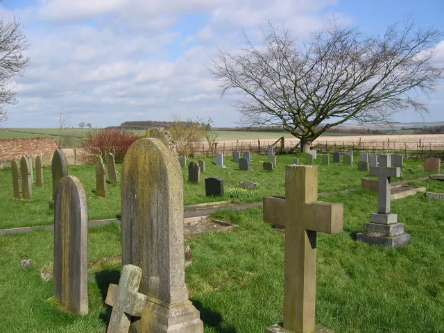
© Stephen Horncastle · Geograph · CC BY-SA 2.0
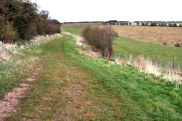
© Peter Church · Geograph · CC BY-SA 2.0
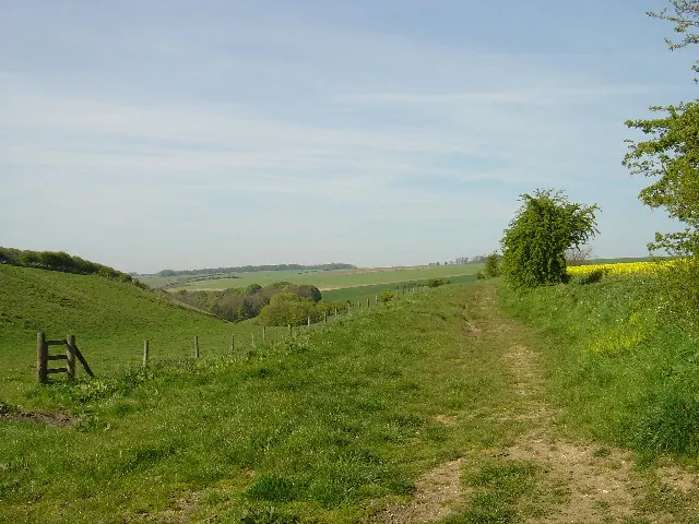
© Ian Lavender · Geograph · CC BY-SA 2.0
Images © their respective photographers, licensed under CC BY-SA 2.0 and reused here with attribution. Photographs depict listed buildings, churches and monuments near this settlement and may show neighbouring villages.
Data derived from the Open Domesday project (opendomesday.org), based on the Domesday Book dataset compiled by Professor J.J.N. Palmer and team. The Domesday Book (1086) is in the public domain.
Found an inaccuracy? [email protected]