Swarkestone in the Domesday Book (1086)
The settlement of Swarkestone is recorded in William I’s Domesday survey of 1086, entered under the hundred of Litchurch in Derbyshire.
Other Settlements in Litchurch
- Allestree
- Alvaston
- Ambaston
- Arleston
- Aston [-on-Trent]
- Barrow [-upon-Trent]
- Bearwardcote
- Boulton
- Burnaston
- Chellaston
- Cottons
- Dalbury
- Egginton
- Elvaston
The Meaning of the Name
The origin of the name Swarkestone is not securely established from its modern form alone; like many settlement names in the North it likely combines an Old English or Old Norse personal name with a landscape term.
Remarkably, the name has changed little since 1086, when the Domesday scribes wrote it as Swarkestone.
Listed Buildings Near Swarkestone
Historic England records 27 listed buildings within about a mile of Swarkestone. Listing protects structures of special architectural or historic interest, graded I (exceptional), II* (particularly important) and II.
Grade I
- Swarkestone Bridge and Causeway - 0.78 km
- The Grandstand, Cuttle and gate 200 metres north of Swarkestone Hall - 0.88 km
Grade II*
- Church of St James - 0.61 km
- Swarkestone Old Hall and attached walls - 0.81 km
- Swarkestone Hall Farmhouse - 0.85 km
Grade II
- Stable Block to North of Crewe and Harpur Arms - 0.3 km
- Crewe and Harpur Arms - 0.3 km
- Bridge Farmhouse and Attached Farm Building - 0.33 km
- Reading Rooms - 0.58 km
- Churchyard gates and walls at St James’ Church - 0.59 km
- Churchyard Cross to South of St James’ Church - 0.61 km
- Trent and Mersey Canal Lowes Bridge - 0.62 km
- Trent and Mersey Canal, Canal Milepost at Swarkestone Stop Sk 368 291 - 0.68 km
- Pair of gate piers to north west of Swarkestone Hall at SK 372 287 - 0.7 km
- Trent and Mersey Canal, Canal Toll House at Swarkestone Stop - 0.71 km
- Trent and Mersey Canal Outbuilding to East of Canal Toll House at Swarkestone Stop - 0.72 km
- Tithe Barn Near Old Hall Farmhouse - 0.78 km
- Trent and Mersey Canal Swarkestone Lock and Bridge - 0.9 km
- Lowes Farmhouse and Attached Farm Buildings - 0.91 km
- Methodist Church - 1.16 km
- The Walnuts - 1.18 km
- Barrow Hall Stables - 1.22 km
- Poplars Farmhouse - 1.23 km
- Lodge Cottage - 1.26 km
…and 3 more listed structures in the area.
Scheduled Monuments Near Swarkestone
Scheduled monuments are nationally important archaeological sites given legal protection. 2 lie within roughly a mile of Swarkestone:
- Swarkestone Bridge - 0.58 km
- Swarkestone Lows round barrow cemetery and part of an aggregate field system 300m north west of The Lowes Farm - 1.05 km
Swarkestone Today
Today Swarkestone lies within the administrative area of South Derbyshire, and the settlement recorded a population of 1,160 at the 2021 census. Nine and a half centuries separate that figure from the small rural community the Domesday survey recorded here in 1086.
Read more about modern Swarkestone on Wikipedia .
Nearby Domesday Settlements
Other places recorded in the 1086 survey within a few miles:
- Barrow -upon-Trent - 1.0 km W
- Stanton -by-Bridge - 1.4 km SE
- Ingleby - 2.2 km SW
- Arleston - 2.2 km NW
- Chellaston - 2.8 km NE
- Marsh? - 3.6 km NE
Heritage Around Swarkestone
Photographs of churches, listed buildings and monuments in the vicinity, contributed by volunteers to the Geograph project and reused here under a Creative Commons licence.
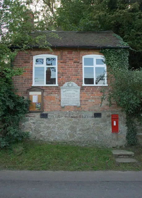
© Phil Myott · Geograph · CC BY-SA 2.0
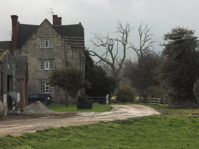
© Jerry Evans · Geograph · CC BY-SA 2.0
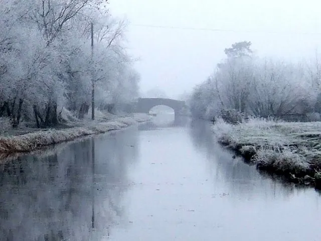
© Ian Calderwood · Geograph · CC BY-SA 2.0
Images © their respective photographers, licensed under CC BY-SA 2.0 and reused here with attribution. Photographs depict listed buildings, churches and monuments near this settlement and may show neighbouring villages.
Data derived from the Open Domesday project (opendomesday.org), based on the Domesday Book dataset compiled by Professor J.J.N. Palmer and team. The Domesday Book (1086) is in the public domain.
Found an inaccuracy? [email protected]