Swadlincote in the Domesday Book (1086)
The settlement of Swadlincote is recorded in William I’s Domesday survey of 1086, entered under the hundred of Walecros in Derbyshire.
Other Settlements in Walecros
- Appleby [Magna]
- Bolun
- Bretby
- Caldwell
- Catton
- Coton [-in-the-Elms]
- Drakelowe
- Foremark
- Hartshorne
- Hearthcote
- Ingleby
- Lullington
- Melbourne
- Milton
The Meaning of the Name
The origin of the name Swadlincote is not securely established from its modern form alone; like many settlement names in the North it likely combines an Old English or Old Norse personal name with a landscape term.
Remarkably, the name has changed little since 1086, when the Domesday scribes wrote it as Swadlincote.
Listed Buildings Near Swadlincote
Historic England records 16 listed buildings within about a mile of Swadlincote. Listing protects structures of special architectural or historic interest, graded I (exceptional), II* (particularly important) and II.
Grade II*
- Four Bottle Kilns at Greens Pottery - 0.7 km
Grade II
- Emmanuel Church - 0.34 km
- Chimney at Wraggs Pipe Works - 0.48 km
- Bottle Kiln at Hill Top Works: Neville Lumb and Company Limited - 0.54 km
- Chimney and former Engine House at premises of Birkett and Roberts - 0.57 km
- Bretby Art Pottery Showroom - 0.63 km
- Town Hall - 0.69 km
- Wood Farm - 0.73 km
- Former offices of Sharpe Brothers and Co Ltd - 0.75 km
- Bottle kiln to former Sharpe’s Pottery - 0.77 km
- Front range of former Sharpe’s Pottery - 0.77 km
- Granville Mill - 0.78 km
- The Cottage - 0.8 km
- Bottle Kiln - 0.91 km
- The Church of St Stephen - 0.94 km
- Springfield Junior School - 1.02 km
Swadlincote Today
Today Swadlincote lies within the administrative area of South Derbyshire, and the settlement recorded a population of 34,576 at recent figures. Nine and a half centuries separate that figure from the small rural community the Domesday survey recorded here in 1086.
Read more about modern Swadlincote on Wikipedia .
Nearby Domesday Settlements
Other places recorded in the 1086 survey within a few miles:
- Hearthcote - 2.0 km W
- Hartshorne - 2.8 km NE
- Smisby - 4.0 km E
- Stanton - 4.1 km W
- Bretby - 4.1 km N
- Linton - 4.2 km SW
Heritage Around Swadlincote
Photographs of churches, listed buildings and monuments in the vicinity, contributed by volunteers to the Geograph project and reused here under a Creative Commons licence.
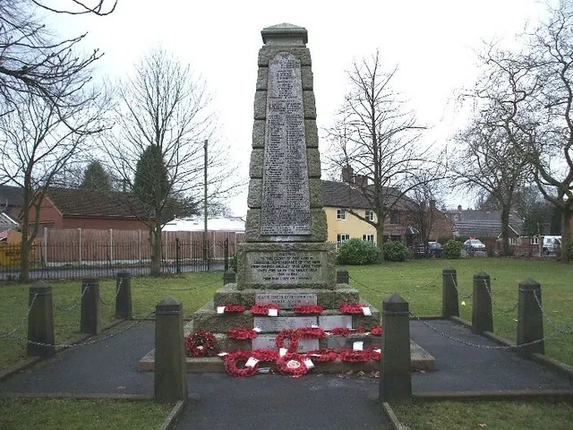
© Alf Beard · Geograph · CC BY-SA 2.0
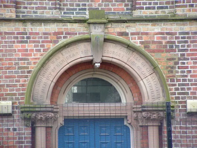
© Paul Gilliver · Geograph · CC BY-SA 2.0
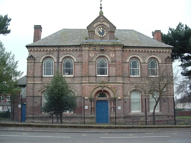
© Paul Gilliver · Geograph · CC BY-SA 2.0
Images © their respective photographers, licensed under CC BY-SA 2.0 and reused here with attribution. Photographs depict listed buildings, churches and monuments near this settlement and may show neighbouring villages.
Data derived from the Open Domesday project (opendomesday.org), based on the Domesday Book dataset compiled by Professor J.J.N. Palmer and team. The Domesday Book (1086) is in the public domain.
Found an inaccuracy? [email protected]