Sutton in the Domesday Book (1086)
Sutton is named in the Domesday Book, compiled by Norman commissioners in 1086, entered under the hundred of Middlewich in Cheshire.
Other Settlements in Middlewich
- Alsager
- Bostock
- Brereton
- Byley
- Clive
- Congleton
- Croxton
- Davenham
- Davenport
- Goostrey
- Hassall
- Kinderton
- Lach [Dennis]
- Leftwich
The Meaning of the Name
The name Sutton is of Anglo-Saxon origin. Its final element derives from the Old English word tūn, a farmstead or village. The first element is most likely a personal name or an early descriptive term, now difficult to recover with certainty. Taken together the name probably meant something close to ‘a farmstead’.
Remarkably, the name has changed little since 1086, when the Domesday scribes wrote it as Sutton.
Listed Buildings Near Sutton
Historic England records 12 listed buildings within about a mile of Sutton. Listing protects structures of special architectural or historic interest, graded I (exceptional), II* (particularly important) and II.
Grade II
- Sutton Hall Farmhouse - 0.57 km
- Pettywood Farmhouse - 0.76 km
- Trent and Mersey Canal, Canal Milepost Immediately North of Rumps Lock - 0.83 km
- Trent and Mersey Canal Rumps Lock - 0.85 km
- Manor House - 1.11 km
- Trent and Mersey Canal King’s Lock - 1.16 km
- Trent and Mersey Canal Bridge Number 167 - 1.18 km
- Middlewich Branch of Shropshire Union Canal Lock-keeper’s Cottage - 1.23 km
- Middlewich Branch of Shropshire Union Canal Canal Lock Adjacent to Junction With Trent and Mersey Canal - 1.24 km
- Middlewich Branch of Shropshire Union Canal Bridge Number 31 Carrying Sutton Lane Over Canal - 1.24 km
- Middlewich Branch of Shropshire Union Canal Bridge Number 30 Carrying St Ann’s Road Over Canal - 1.25 km
- Trent and Mersey Canal Bridge Number 168 - 1.25 km
Scheduled Monuments Near Sutton
Scheduled monuments are nationally important archaeological sites given legal protection. 1 lies within roughly a mile of Sutton:
- Murgatroyd’s Brine Works - 1.57 km
Sutton Today
Today Sutton lies within the administrative area of Middlewich.
Read more about modern Sutton on Wikipedia .
Nearby Domesday Settlements
Other places recorded in the 1086 survey within a few miles:
- Newton - 1.0 km N
- Tetton - 1.4 km SE
- Middlewich - 2.0 km N
- Occleston - 2.2 km SW
- Kinderton - 2.8 km NE
- Wimboldsley - 2.8 km SW
Heritage Around Sutton
Photographs of churches, listed buildings and monuments in the vicinity, contributed by volunteers to the Geograph project and reused here under a Creative Commons licence.
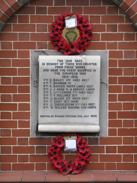
© Peter Whatley · Geograph · CC BY-SA 2.0
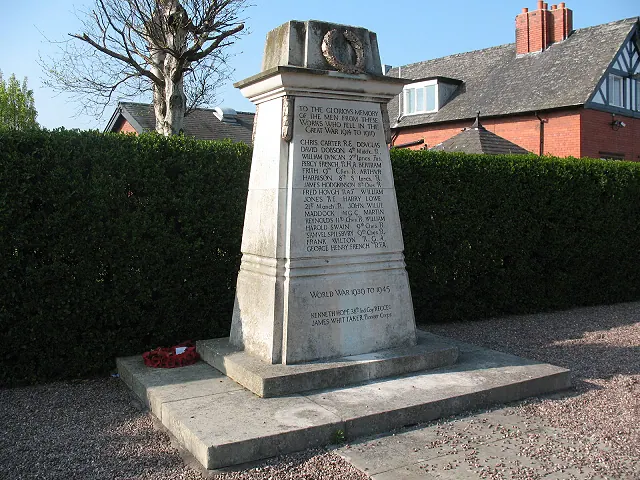
© Stephen Craven · Geograph · CC BY-SA 2.0
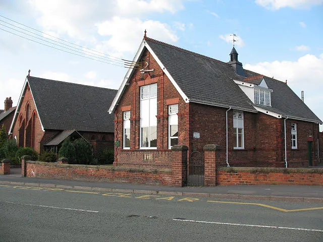
© Stephen Craven · Geograph · CC BY-SA 2.0
Images © their respective photographers, licensed under CC BY-SA 2.0 and reused here with attribution. Photographs depict listed buildings, churches and monuments near this settlement and may show neighbouring villages.
Data derived from the Open Domesday project (opendomesday.org), based on the Domesday Book dataset compiled by Professor J.J.N. Palmer and team. The Domesday Book (1086) is in the public domain.
Found an inaccuracy? [email protected]