Sutton Grange in the Domesday Book (1086)
Sutton Grange is named in the Domesday Book, compiled by Norman commissioners in 1086, entered under the hundred of Scard in Yorkshire.
Other Settlements in Scard
- Birdsall
- Buckton [Holms]
- Burdale
- Duggleby
- Kennythorpe
- Langton
- Linton
- Norton
- Rillington
- Scagglethorpe
- Scampston
- Settrington
- Thorpe [Bassett]
- Towthorpe
The Meaning of the Name
The name Sutton Grange is of Anglo-Saxon origin. Its final element derives from the Old English word tūn, a farmstead or village. The first element is most likely a personal name or an early descriptive term, now difficult to recover with certainty. Taken together the name probably meant something close to ‘a farmstead’.
Remarkably, the name has changed little since 1086, when the Domesday scribes wrote it as Sutton Grange.
Listed Buildings Near Sutton Grange
Historic England records 36 listed buildings within about a mile of Sutton Grange. Listing protects structures of special architectural or historic interest, graded I (exceptional), II* (particularly important) and II.
Grade II
- Sutton Farm Stone Barn - 0.16 km
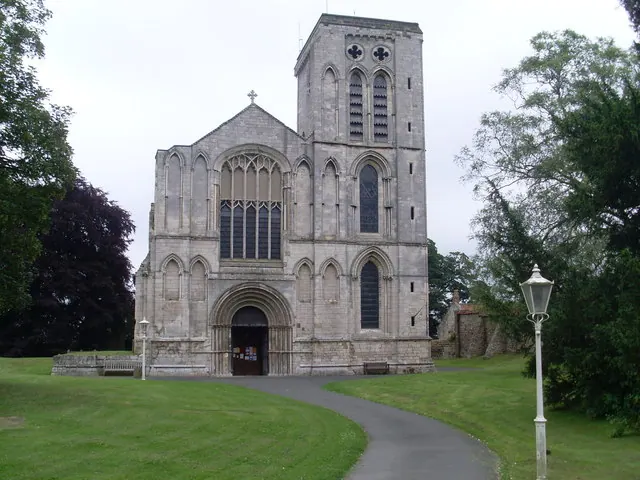
- Church of St Peter - 0.58 km
- Leat House and Attached Conservatory - 0.63 km
- Whitewall House and Attached Outbuilding - 0.67 km
- Whitewall Cottages and Attached Stable Building - 0.7 km
- 10-16, Langton Road - 0.79 km
- 2-8, Langton Road - 0.82 km
- The Elms - 0.91 km
- Number 16 and Railings Attached to Steps to Front - 0.92 km
- The Union - 0.92 km
- 8,10 and 12, Commercial Street - 0.93 km
- Numbers 4 and 6 and Attached Railings to Front Steps - 0.93 km
- 64-70, Commercial Street - 0.94 km
- 84A, Commercial Street - 0.95 km
- 90, Commercial Street - 0.96 km
- 49, Commercial Street - 0.96 km
- Gascoignes Jewellers - 0.96 km
- 3, Scarborough Road - 1.06 km
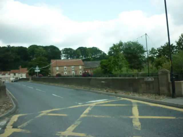
- Malton Bridge - 1.09 km
- King’s Mill - 1.09 km
- Malton Bridge - 1.11 km
- Workshop Approximately 40 Metres South East of Number 104 - 1.13 km
- Number 104 and Attached Outbuildings to West - 1.18 km
- 94 and 96, Castlegate - 1.21 km
…and 12 more listed structures in the area.
Scheduled Monuments Near Sutton Grange
Scheduled monuments are nationally important archaeological sites given legal protection. 2 lie within roughly a mile of Sutton Grange:
- Site of Malton Castle - 1.35 km
- Roman fort - 1.35 km
Sutton Grange Today
Today Sutton Grange lies within the administrative area of Norton-on-Derwent.
Nearby Domesday Settlements
Other places recorded in the 1086 survey within a few miles:
- Norton - 1.0 km N
- Welham - 1.4 km SW
- Old Malton - 2.0 km N
- Langton - 3.0 km S
- Thornthorpe - 3.2 km S
- Settrington - 4.0 km E
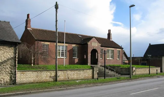
Heritage Around Sutton [Grange]
Photographs of churches, listed buildings and monuments in the vicinity, contributed by volunteers to the Geograph project and reused here under a Creative Commons licence.
© David Hillas · Geograph · CC BY-SA 2.0
© David Rogers · Geograph · CC BY-SA 2.0
© Ian S · Geograph · CC BY-SA 2.0
Images © their respective photographers, licensed under CC BY-SA 2.0 and reused here with attribution. Photographs depict listed buildings, churches and monuments near this settlement and may show neighbouring villages.
Data derived from the Open Domesday project (opendomesday.org), based on the Domesday Book dataset compiled by Professor J.J.N. Palmer and team. The Domesday Book (1086) is in the public domain.
Found an inaccuracy? [email protected]