Sutton in the Domesday Book (1086)
Sutton is named in the Domesday Book, compiled by Norman commissioners in 1086, entered under the hundred of Craven in Yorkshire.
Other Settlements in Craven
- Addingham
- Airton
- Anley
- Appletreewick
- Arncliffe
- Arnford
- Barnoldswick
- Bashall [Eaves]
- Battersby [Barn]
- Beamsley
- Birkby [Hall]
- Bogeuurde
- Bolton [Abbey]
- Bolton [by Bowland]
The Meaning of the Name
The name Sutton is of Anglo-Saxon origin. Its final element derives from the Old English word tūn, a farmstead or village. The first element is most likely a personal name or an early descriptive term, now difficult to recover with certainty. Taken together the name probably meant something close to ‘a farmstead’.
Remarkably, the name has changed little since 1086, when the Domesday scribes wrote it as Sutton.
Listed Buildings Near Sutton
Historic England records 32 listed buildings within about a mile of Sutton. Listing protects structures of special architectural or historic interest, graded I (exceptional), II* (particularly important) and II.
Grade II
- Sutton-in-Craven War Memorial - 0.22 km
- Church of St Thomas - 0.35 km
- Black Bull Inn - 0.37 km
- 3 and 5, Elm Road - 0.38 km
- K6 Telephone Kiosk - 0.4 km
- Prospect House - 0.42 km
- The Old Manor House - 0.44 km
- Craven House - 0.47 km
- Garden Place - 0.49 km
- Glusburn Institute Including Walls to Garden Along Colne Road Returning North Along Croft Head For 10 Metres - 0.56 km
- 7, King’s Court - 0.59 km
- 10 and 12, West Lane - 0.6 km
- 16, West Lane - 0.6 km
- Grotto in Garden of Barclays Bank - 0.61 km
- Barclays Bank - 0.62 km
- Bay Horse Inn and Orchard House - 0.62 km
- 1 and 3, Keichley Road - 0.64 km
- The Cottage - 0.64 km
- Fernbank - 0.65 km
- Old White Bear Hotel - 0.66 km
- West and East Lodges With Archway Between and Walls of Forecourt - 0.67 km
- Milestone 200 Metres West of Glusburn Institute - 0.7 km
- Sutton House - 0.75 km
- Harrison Place - 0.79 km
…and 8 more listed structures in the area.
Scheduled Monuments Near Sutton
Scheduled monuments are nationally important archaeological sites given legal protection. 2 lie within roughly a mile of Sutton:
- Kildwick Bridge - 1.33 km
- Ore hearth smeltmill and wood drying kiln in Lumb Clough Wood, 350m south east of Bank Foot - 1.54 km
Sutton Today
Today Sutton lies within the administrative area of Craven, and the settlement recorded a population of 3,721 at the 2021 census. Nine and a half centuries separate that figure from the small rural community the Domesday survey recorded here in 1086.
Nearby Domesday Settlements
Other places recorded in the 1086 survey within a few miles:
Heritage Around Sutton
Photographs of churches, listed buildings and monuments in the vicinity, contributed by volunteers to the Geograph project and reused here under a Creative Commons licence.
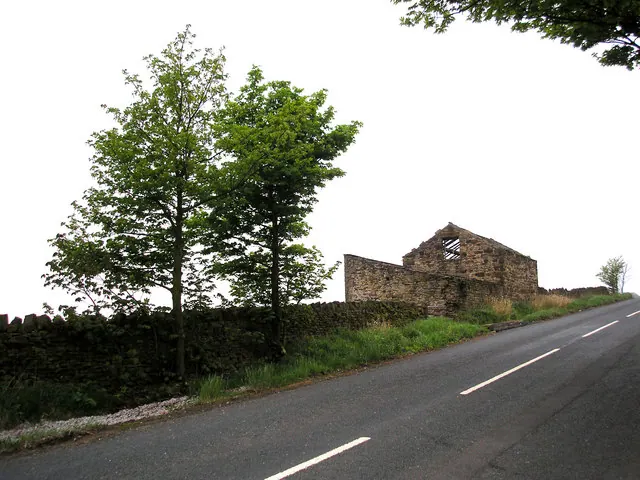
© Dr Neil Clifton · Geograph · CC BY-SA 2.0
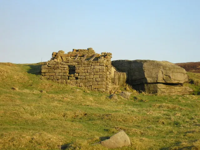
© John Illingworth · Geograph · CC BY-SA 2.0
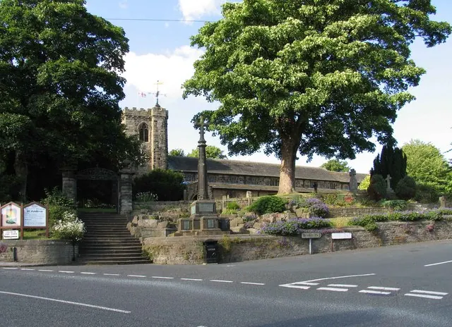
© David Rogers · Geograph · CC BY-SA 2.0
Images © their respective photographers, licensed under CC BY-SA 2.0 and reused here with attribution. Photographs depict listed buildings, churches and monuments near this settlement and may show neighbouring villages.
Data derived from the Open Domesday project (opendomesday.org), based on the Domesday Book dataset compiled by Professor J.J.N. Palmer and team. The Domesday Book (1086) is in the public domain.
Found an inaccuracy? [email protected]