Suntun in the Domesday Book (1086)
Suntun appears in the Domesday Book of 1086, entered under the hundred of Amounderness in Yorkshire.
Other Settlements in Amounderness
- Aighton
- Aldcliffe
- Aldingham
- Arkholme
- Aschebi
- Ashton [Hall]
- Ashton [on Ribble]
- Austwick
- Barbon
- Bardsea
- Bare
- Barnoldswick
- Barton
- Beetham
The Meaning of the Name
The name Suntun is of Anglo-Saxon origin. Its final element derives from the Old English word tūn, a farmstead or village. The first element is most likely a personal name or an early descriptive term, now difficult to recover with certainty. Taken together the name probably meant something close to ‘a farmstead’.
Remarkably, the name has changed little since 1086, when the Domesday scribes wrote it as Suntun.
Listed Buildings Near Suntun
Historic England records 65 listed buildings within about a mile of Suntun. Listing protects structures of special architectural or historic interest, graded I (exceptional), II* (particularly important) and II.
Grade II
- Public Library, Museum and Forecourt Wall and Railings Facing Ramsden Square - 0.04 km
- Pair of K6 Telephone Kiosks Adjacent to Public Library - 0.04 km
- Presbytery to Church of St Mary of Furness With Wall Connecting to Church - 0.05 km
- Working Men’s Club and Institute - 0.07 km
- Church of St Mary of Furness - 0.07 km
- Statue of Sir James Ramsden - 0.09 km
- Conservative Club - 0.1 km
- Ramsden Hall - 0.1 km
- National Westminster Bank - 0.11 km
- 127, 129 and 131, Duke Street - 0.13 km
- The Lord Ramsden Public House - 0.14 km
- 125, Duke Street - 0.14 km
- College of Further Education Annexe Including Front Railings and Piers - 0.14 km
- 111-119, Duke Street - 0.17 km
- 1-41, Parade Street - 0.18 km
- Central Fire Station - 0.19 km
- Bank Chambers Th Old Bank - 0.2 km
- Barclays Bank - 0.21 km
- The John Whinnerah Institute Building With Gate Piers to Front and Bicycle Shed in Rear Wall - 0.23 km
- St Mary’s Club - 0.24 km
- 81-89, Duke Street - 0.24 km
- 2-46 Keith Street - 0.25 km
- 3-51 Keith Street - 0.27 km
- 77 and 79, Duke Street - 0.28 km
…and 41 more listed structures in the area.
Suntun Today
Today Suntun lies within the administrative area of Barrow, and the settlement recorded a population of 5,851 at recent figures. Nine and a half centuries separate that figure from the small rural community the Domesday survey recorded here in 1086.
Read more about modern Hindpool on Wikipedia .
Nearby Domesday Settlements
Other places recorded in the 1086 survey within a few miles:
- Roose - 3.0 km E
- Sowerby Hall - 3.0 km N
- Fordbottle - 3.2 km E
- Crivelton - 3.6 km NE
- Leece - 5.0 km E
- Leece - 5.0 km E
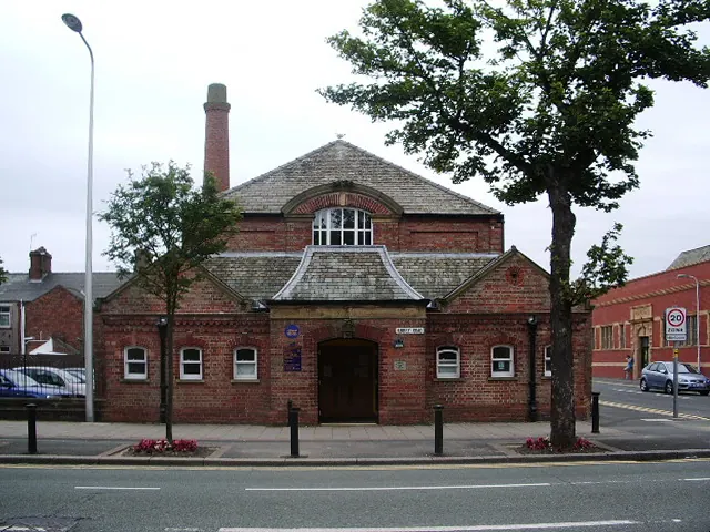
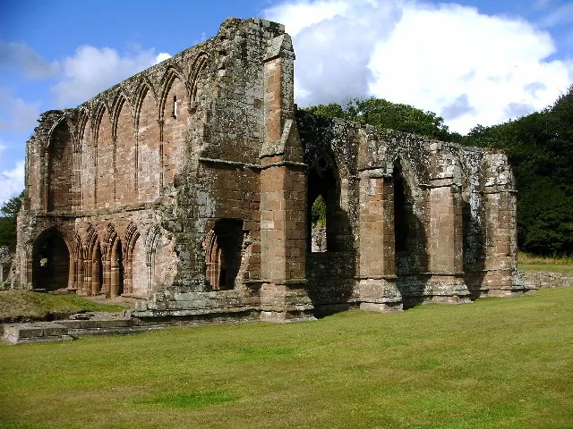
Heritage Around Suntun
Photographs of churches, listed buildings and monuments in the vicinity, contributed by volunteers to the Geograph project and reused here under a Creative Commons licence.
© Alexander P Kapp · Geograph · CC BY-SA 2.0
© David Jackson · Geograph · CC BY-SA 2.0

© George Hopkins · Geograph · CC BY-SA 2.0
Images © their respective photographers, licensed under CC BY-SA 2.0 and reused here with attribution. Photographs depict listed buildings, churches and monuments near this settlement and may show neighbouring villages.
Data derived from the Open Domesday project (opendomesday.org), based on the Domesday Book dataset compiled by Professor J.J.N. Palmer and team. The Domesday Book (1086) is in the public domain.
Found an inaccuracy? [email protected]