Sudbury in the Domesday Book (1086)
Sudbury is named in the Domesday Book, compiled by Norman commissioners in 1086, entered under the hundred of Appletree in Derbyshire. The survey assessed Sudbury at 1 carucate of taxable land.
At the time of the survey, Sudbury supported a recorded population of 16 villagers, 5 slaves, working 7 ploughs between them.
The survey records Sudbury’s value at 5 shillings in 1086. No pre-Conquest figure survives – not unusual in the North, where records were disrupted by the Harrying and by the patchy coverage of the survey.
Resources Recorded at Sudbury (1086)
- Cattle: 7
- Pigs: 4
- Sheep: 64
- Horses (cobs): 1
- Meadow: 1 acres
- Woodland: 12 acres
Other Settlements in Appletree
- Alkmonton
- Ashe
- Aston
- Barton [Blount]
- Bentley
- Boylestone
- Bradley
- Brailsford
- Bupton
- Clifton
- Doveridge
- Eaton [Dovedale]
- Edlaston
- Ednaston
The Meaning of the Name
The name Sudbury is of Anglo-Saxon origin. Its final element derives from the Old English word burh, a fortified place. The first element is most likely a personal name or an early descriptive term, now difficult to recover with certainty. Taken together the name probably meant something close to ‘a stronghold’.
Remarkably, the name has changed little since 1086, when the Domesday scribes wrote it as Sudbury.
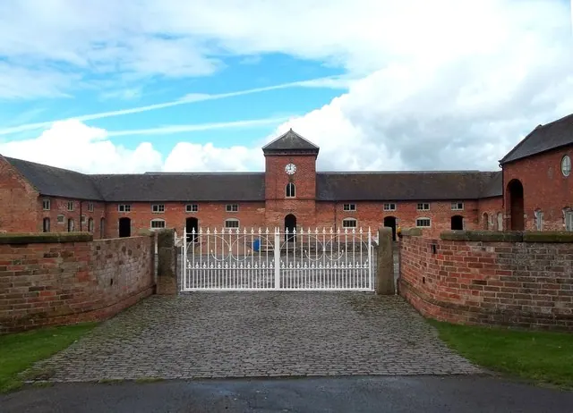
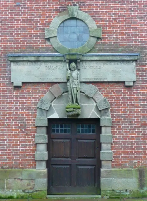
Listed Buildings Near Sudbury
Historic England records 29 listed buildings within about a mile of Sudbury. Listing protects structures of special architectural or historic interest, graded I (exceptional), II* (particularly important) and II.
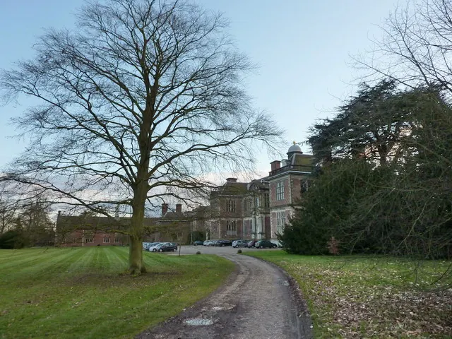
Grade I
- The Hall and attached stable block. - 0.81 km
Grade II*
- Folly or Deercote in Park - 0.46 km
Grade II
- Stocks adjacent to 4 Main Road - 0.62 km
- 2, 3, 4 and 5, Main Road - 0.62 km
- The Laurels - 0.63 km
- 5A and 6, Main Road - 0.64 km
- The Cottage - 0.64 km
- 8, Main Road - 0.65 km
- 7, Main Road - 0.65 km
- White House - 0.66 km
- Vernon Arms Hotel and Attached Stables - 0.66 km
- Butchers House and Shop and Number 10 - 0.67 km
- 16 and 17, Main Road - 0.67 km
- Brook House - 0.68 km
- Estate Office and Attached Walls and Outbuildings - 0.69 km
- 11, School Lane - 0.69 km
- Pair of Lodges, Gates and Walls to North of Sudbury Hall - 0.69 km
- Sudbury County School - 0.73 km
- Stabling at Hall - 0.74 km
- 84 and 85, Main Road - 0.75 km
- School House - 0.75 km
- Gardeners Cottages - 0.78 km
- Garden Walls to Former Kitchen Gardens at Sudbury Hall - 0.79 km
- Park Cottage Park House - 0.79 km
…and 5 more listed structures in the area.
Sudbury Today
Today Sudbury lies within the administrative area of Derbyshire Dales, and the settlement recorded a population of 923 at the 2021 census. Nine and a half centuries separate that figure from the small rural community the Domesday survey recorded here in 1086.
Read more about modern Sudbury on Wikipedia .
Nearby Domesday Settlements
Other places recorded in the 1086 survey within a few miles:
- Aston - 1.0 km S
- Foston - 2.2 km SE
- Sapperton - 2.8 km NE
- Scropton - 3.6 km SE
- Boylestone - 3.6 km NE
- Church Broughton - 4.1 km E
Heritage Around Sudbury
Photographs of churches, listed buildings and monuments in the vicinity, contributed by volunteers to the Geograph project and reused here under a Creative Commons licence.
© Jonathan Clitheroe · Geograph · CC BY-SA 2.0
© Humphrey Bolton · Geograph · CC BY-SA 2.0
© Alexander P Kapp · Geograph · CC BY-SA 2.0
Images © their respective photographers, licensed under CC BY-SA 2.0 and reused here with attribution. Photographs depict listed buildings, churches and monuments near this settlement and may show neighbouring villages.
Data derived from the Open Domesday project (opendomesday.org), based on the Domesday Book dataset compiled by Professor J.J.N. Palmer and team. The Domesday Book (1086) is in the public domain.
Found an inaccuracy? [email protected]