Studley Royal in the Domesday Book (1086)
Studley Royal appears in the Domesday Book of 1086, entered under the hundred of Burghshire in Yorkshire.
Other Settlements in Burghshire
- Addlethorpe
- Aismunderby
- Aldfield
- Allerton [Mauleverer]
- Arkendale
- Askwith
- Azerley
- Barrowby [Grange]
- Beckwith [House]
- Besthaim
- Bestham
- Bewerley
- Bilton
- Birstwith
The Meaning of the Name
The name Studley Royal is of Anglo-Saxon origin. Its final element derives from the Old English word lēah, a woodland clearing or glade. The first element is most likely a personal name or an early descriptive term, now difficult to recover with certainty. Taken together the name probably meant something close to ‘a clearing’.
Remarkably, the name has changed little since 1086, when the Domesday scribes wrote it as Studley Royal.
Listed Buildings Near Studley Royal
Historic England records 12 listed buildings within about a mile of Studley Royal. Listing protects structures of special architectural or historic interest, graded I (exceptional), II* (particularly important) and II.
Grade I
- Church of St Mary - 1.19 km
Grade II*
- High Stables - 0.5 km
- The Cottage Approximately 100 Metres North-east of Church of St Mary With Front Garden Wall and Gate - 1.11 km
Grade II
- Gates, Piers and Flanking Walls at Lindrick Gate - 0.28 km
- Old Slaughterhouse, With Clock Face and Mechanism, Approximately 10 Metres East of Lindrick Gate - 0.29 km
- Game Larder Approximately 50 Metres South-east of Lindrick Gate - 0.35 km
- Rough Bridge Approximately 100 Metres South-east of Lindrick Gate - 0.51 km
- Mallard Grange - 0.59 km
- Wheatbrig’s House - 0.78 km
- Wall Approximately 160 Metres East of Wheatbrig’s House - 0.95 km
- Boundary Wall With West and South Gates, Church of St Mary - 1.21 km
- The Obelisk Approximately 80 Metres West of Church of St Mary - 1.23 km
Studley Royal Today
Today Studley Royal lies within the administrative area of North Yorkshire.
Nearby Domesday Settlements
Other places recorded in the 1086 survey within a few miles:
- Aldfield - 1.4 km SW
- Studley Roger - 2.0 km E
- Winksley - 2.2 km NW
- Clotherholme - 2.2 km NE
- How Hill - 3.0 km S
- Sutton Grange - 3.2 km N
Heritage Around Studley [Royal]
Photographs of churches, listed buildings and monuments in the vicinity, contributed by volunteers to the Geograph project and reused here under a Creative Commons licence.
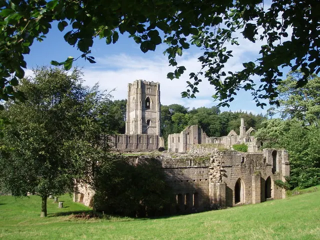
© J Scott · Geograph · CC BY-SA 2.0
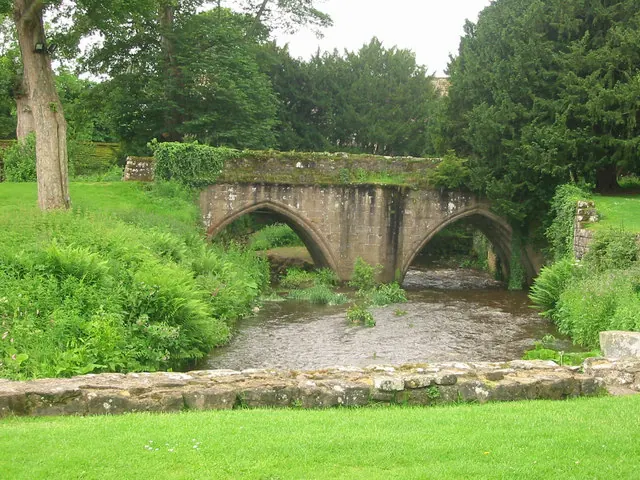
© P Glenwright · Geograph · CC BY-SA 2.0
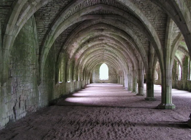
© Andy Beecroft · Geograph · CC BY-SA 2.0
Images © their respective photographers, licensed under CC BY-SA 2.0 and reused here with attribution. Photographs depict listed buildings, churches and monuments near this settlement and may show neighbouring villages.
Data derived from the Open Domesday project (opendomesday.org), based on the Domesday Book dataset compiled by Professor J.J.N. Palmer and team. The Domesday Book (1086) is in the public domain.
Found an inaccuracy? [email protected]