Studley Roger in the Domesday Book (1086)
Studley Roger appears in the Domesday Book of 1086, entered under the hundred of Burghshire in Yorkshire.
Other Settlements in Burghshire
- Addlethorpe
- Aismunderby
- Aldfield
- Allerton [Mauleverer]
- Arkendale
- Askwith
- Azerley
- Barrowby [Grange]
- Beckwith [House]
- Besthaim
- Bestham
- Bewerley
- Bilton
- Birstwith
The Meaning of the Name
The name Studley Roger is of Anglo-Saxon origin. Its final element derives from the Old English word lēah, a woodland clearing or glade. The first element is most likely a personal name or an early descriptive term, now difficult to recover with certainty. Taken together the name probably meant something close to ‘a clearing’.
Remarkably, the name has changed little since 1086, when the Domesday scribes wrote it as Studley Roger.
Listed Buildings Near Studley Roger
Historic England records 31 listed buildings within about a mile of Studley Roger. Listing protects structures of special architectural or historic interest, graded I (exceptional), II* (particularly important) and II.
Grade II*
- Bishopton Lodge - 0.77 km
- Ripon Gates at East of Studley Park, With Flanking Walls and Lodges - 0.93 km
Grade II
- Rose Bridge Approximately 220 Metrs North-east of Duck House, Studley Roger - 0.15 km
- Duck House - 0.16 km
- Bridge Approximately 120 Metres South-west of Duck House - 0.28 km
- Milepost Approximately 120 Metres East of the Parish Boundary With Studley Roger - 0.3 km
- Low Lodge to Studley Royal Park, With Lamp Bracket and Outbuildings Attached to Rear - 0.61 km
- Gates, Gate Piers and Railings at Low Lodge - 0.64 km
- Stone on South Bank of River Skell, Due South of Mill Farm (Which Is on the North Bank of the River Skell, and Just Outside the Mb Boundary - 0.65 km
- Old Post House - 0.65 km
- Laurence House and Downing House - 0.66 km
- Piers and Railings Flanking Carriage Drive Approximately 20 Metres to East of Studley Lodge - 0.67 km
- Studley Lodge - 0.7 km
- Piers and Railings Flanking Carriage Drive Approximately 20 Metres West of Studley Lodge - 0.72 km
- Dwarf Wall and Cast Iron Railings Opposite Number 8 - 0.74 km
- Dwarf Wall and Two Sets of Gates and Gate Piers in Front of no 8 - 0.74 km
- Bishopton Bridge - 0.76 km
- The Grange - 0.76 km
- Dwarf Wall and Wooden Fence in Front of Number 7 - 0.77 km
- Barns Behind Number 6 - 0.81 km
- 3, 4 and 5, Bishopton - 0.83 km
- 2, Bishopton - 0.84 km
- 1, Bishopton Grove - 0.86 km
- Plumpton Hall - 1.0 km
…and 7 more listed structures in the area.
Studley Roger Today
Today Studley Roger lies within the administrative area of Harrogate, and the settlement recorded a population of 105 at the 2021 census. Nine and a half centuries separate that figure from the small rural community the Domesday survey recorded here in 1086.
Read more about modern Studley Roger on Wikipedia .
Nearby Domesday Settlements
Other places recorded in the 1086 survey within a few miles:
- Studley Royal - 2.0 km W
- Ripon - 2.2 km NE
- Clotherholme - 2.2 km NW
- Aismunderby - 2.2 km SE
- Markenfield Hall - 3.0 km S
- Hashundebi - 3.2 km E
Heritage Around Studley [Roger]
Photographs of churches, listed buildings and monuments in the vicinity, contributed by volunteers to the Geograph project and reused here under a Creative Commons licence.
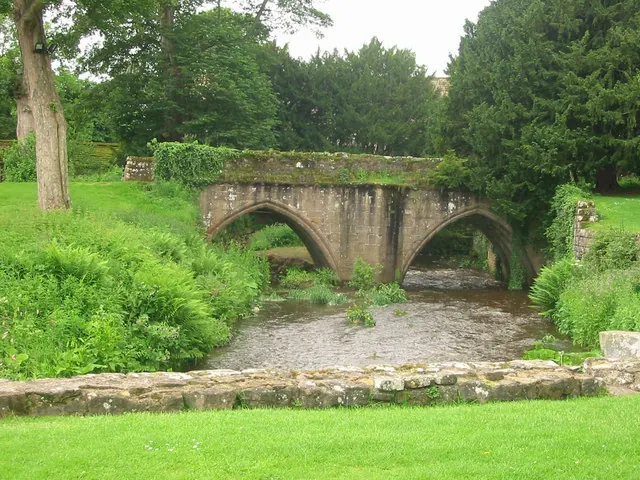
© P Glenwright · Geograph · CC BY-SA 2.0
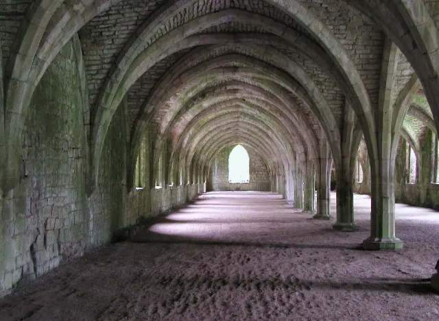
© Andy Beecroft · Geograph · CC BY-SA 2.0
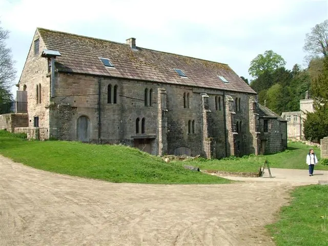
© Pete burnett · Geograph · CC BY-SA 2.0
Images © their respective photographers, licensed under CC BY-SA 2.0 and reused here with attribution. Photographs depict listed buildings, churches and monuments near this settlement and may show neighbouring villages.
Data derived from the Open Domesday project (opendomesday.org), based on the Domesday Book dataset compiled by Professor J.J.N. Palmer and team. The Domesday Book (1086) is in the public domain.
Found an inaccuracy? [email protected]