Stub House in the Domesday Book (1086)
The settlement of Stub House is recorded in William I’s Domesday survey of 1086, entered under the hundred of Skyrack in Yorkshire.
Other Settlements in Skyrack
- Adel
- Allerton [Bywater]
- Alwoodley
- Arthington
- Austhorpe
- Baildon
- Bardsey
- Barwick [in Elmet]
- Bichertun
- Bicherun
- Bingley
- Birkby [Hill]
- Bramhope
- Burden [Head]
The Meaning of the Name
The origin of the name Stub House is not securely established from its modern form alone; like many settlement names in the North it likely combines an Old English or Old Norse personal name with a landscape term.
Remarkably, the name has changed little since 1086, when the Domesday scribes wrote it as Stub House.
Listed Buildings Near Stub House
Historic England records 29 listed buildings within about a mile of Stub House. Listing protects structures of special architectural or historic interest, graded I (exceptional), II* (particularly important) and II.
Grade I
Grade II*
Grade II
- Carr House Barn - 0.45 km
- New Bridge - 0.7 km
- Walls, Railings and Lean to Buildings to Rectangular Walled Garden - 0.76 km
- Sundial in Centre of Rectangular Walled Garden Near Ytv Garden - 0.79 km
- Walls to Triangular Garden - 0.81 km
- Rose Garden Terrace walls and arbour including attached railings - 0.86 km
- Rough Bridge - 0.86 km
- The Grey Stone, Approximately 350 Metres South East of New Bridge - 0.96 km
- Ice House and Dovecote Near Weir by Stank Beck - 0.98 km
- Langley Well to East of Grove Farm - 1.0 km
- The Head Gardener’s House - 1.01 km
- The Ice House at Harewood Park - 1.02 km
- Sundial in the Rock Garden - 1.03 km
- Bridge Over Roadway Between Stables to South West of Harewood House and the Home Farm - 1.09 km
- Forge House and Attached Archway Leading to Home Farm Workshops - 1.1 km
- Granary at Stanks Farm - 1.11 km
- L Shaped Range of Workshops and 2 Attached Houses at the Home Farm - 1.13 km
- The Terrace Cottage, Approximately 140 Metres to South West of Harewood House - 1.14 km
- Barn to North of Granary at Stanks Farm - 1.14 km
- Home Farm buildings forming a quadrangle - 1.16 km
- Farmbuilding With Cartshed to Rear and Attached Stable, Set Within Quadrangle of Home Farm Building - 1.18 km
- Home Farmhouse - 1.19 km
…and 5 more listed structures in the area.
Scheduled Monuments Near Stub House
Scheduled monuments are nationally important archaeological sites given legal protection. 1 lies within roughly a mile of Stub House:
Nearby Domesday Settlements
Other places recorded in the 1086 survey within a few miles:
Heritage Around Stub House
Photographs of churches, listed buildings and monuments in the vicinity, contributed by volunteers to the Geograph project and reused here under a Creative Commons licence.
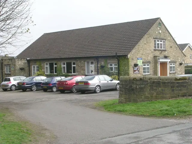
© Betty Longbottom · Geograph · CC BY-SA 2.0
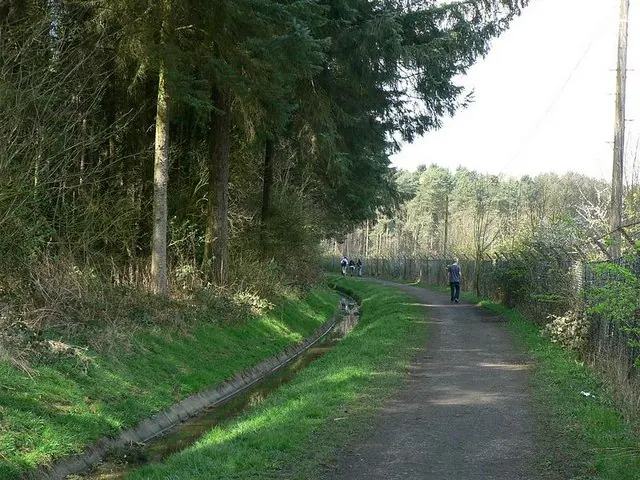
© Rich Tea · Geograph · CC BY-SA 2.0
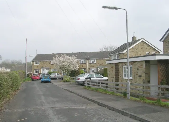
© Betty Longbottom · Geograph · CC BY-SA 2.0
Images © their respective photographers, licensed under CC BY-SA 2.0 and reused here with attribution. Photographs depict listed buildings, churches and monuments near this settlement and may show neighbouring villages.
Data derived from the Open Domesday project (opendomesday.org), based on the Domesday Book dataset compiled by Professor J.J.N. Palmer and team. The Domesday Book (1086) is in the public domain.
Found an inaccuracy? [email protected]