Stratesergum in the Domesday Book (1086)
The settlement of Stratesergum is recorded in William I’s Domesday survey of 1086, entered under the hundred of Craven in Yorkshire.
Other Settlements in Craven
- Addingham
- Airton
- Anley
- Appletreewick
- Arncliffe
- Arnford
- Barnoldswick
- Bashall [Eaves]
- Battersby [Barn]
- Beamsley
- Birkby [Hall]
- Bogeuurde
- Bolton [Abbey]
- Bolton [by Bowland]
The Meaning of the Name
The origin of the name Stratesergum is not securely established from its modern form alone; like many settlement names in the North it likely combines an Old English or Old Norse personal name with a landscape term.
Remarkably, the name has changed little since 1086, when the Domesday scribes wrote it as Stratesergum.
Listed Buildings Near Stratesergum
Historic England records 9 listed buildings within about a mile of Stratesergum. Listing protects structures of special architectural or historic interest, graded I (exceptional), II* (particularly important) and II.
Grade II
- Salem Congregational Chapel, and Attached Manse, Martin Top - 0.55 km
- Halstead Farmhouse - 0.91 km
- Aynhams House - 0.97 km
- Lower Gills Farmhouse - 1.05 km
- Lower Gate Farmhouse - 1.12 km
- White Stones Farmhouse and Farm Building Adjoining to West in Same Range - 1.16 km
- Higher Gazegill Farmhouse and Barn Adjoining to West - 1.2 km
- The Old Farmhouse - 1.21 km
- Bustards Farmhouse - 1.26 km
Scheduled Monuments Near Stratesergum
Scheduled monuments are nationally important archaeological sites given legal protection. 2 lie within roughly a mile of Stratesergum:
- Northern part of Rimington lead mines, part of a medieval open field system and three limestone clamp kilns 120m south east of Hollins - 0.45 km
- Twiston lime kiln and associated tramway 250m east of Twiston Mill - 1.26 km
Stratesergum Today
Today Stratesergum lies within the administrative area of Rimington.
Nearby Domesday Settlements
Other places recorded in the 1086 survey within a few miles:
- Rimington - 1.0 km W
- Little Middop - 3.0 km E
- Gisburn - 3.2 km N
- Ellenthorpe - 4.0 km N
- Raygill Moss - 4.1 km N
- Grindleton - 5.0 km W
Heritage Around Stratesergum
Photographs of churches, listed buildings and monuments in the vicinity, contributed by volunteers to the Geograph project and reused here under a Creative Commons licence.
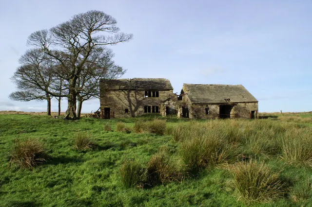
© Gillian Rimington · Geograph · CC BY-SA 2.0
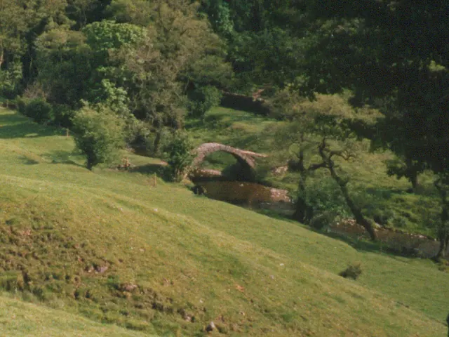
© Stephen Craven · Geograph · CC BY-SA 2.0
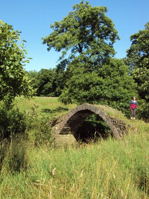
© Cary O'Donnell · Geograph · CC BY-SA 2.0
Images © their respective photographers, licensed under CC BY-SA 2.0 and reused here with attribution. Photographs depict listed buildings, churches and monuments near this settlement and may show neighbouring villages.
Data derived from the Open Domesday project (opendomesday.org), based on the Domesday Book dataset compiled by Professor J.J.N. Palmer and team. The Domesday Book (1086) is in the public domain.
Found an inaccuracy? [email protected]