Stotfold in the Domesday Book (1086)
Stotfold is named in the Domesday Book, compiled by Norman commissioners in 1086, entered under the hundred of Strafforth in Yorkshire.
Other Settlements in Strafforth
- Adwick [le Street]
- Adwick [upon Dearne]
- Armthorpe
- Aston
- Attercliffe
- Auckley
- Aughton [Hall]
- Austerfield
- Balby
- Barnbrough
- Barnby [Dun]
- Bentley
- Bilham [House]
- Billingley
The Meaning of the Name
The origin of the name Stotfold is not securely established from its modern form alone; like many settlement names in the North it likely combines an Old English or Old Norse personal name with a landscape term.
Remarkably, the name has changed little since 1086, when the Domesday scribes wrote it as Stotfold.
Listed Buildings Near Stotfold
Historic England records 18 listed buildings within about a mile of Stotfold. Listing protects structures of special architectural or historic interest, graded I (exceptional), II* (particularly important) and II.
Grade II
- Stotfold Farmhouse and Stotfold Farm Cottage - 0.38 km
- Farmbuilding Immediately to North West of Stotfold Farmhouse - 0.39 km
- L Shaped Range of Farmbuildings Approximately 30 Metres to North West of Stotfold Farmhouse - 0.43 km
- Belverdere Summer House - 0.69 km
- Cartshed Approximately 10 Metres to South West of Bilham House Farmhouse - 0.87 km
- Barn approximately 15 metres north of Bilham House Farmhouse - 0.89 km
- Bilham House Farmhouse - 0.89 km
- Castle Hill Farmhouse - 1.15 km
- 41 and 42 - 1.18 km
- 37-40 - 1.19 km
- The Forge - 1.2 km
- 30-33 - 1.22 km
- 34 and 35 - 1.22 km
- Old School - 1.27 km
- K6 Telephone Kiosk - 1.27 km
- 19 - 1.28 km
- 8 and 9 - 1.29 km
- John O’Gaunts - 1.3 km
Scheduled Monuments Near Stotfold
Scheduled monuments are nationally important archaeological sites given legal protection. 1 lies within roughly a mile of Stotfold:
Stotfold Today
Today Stotfold lies within the administrative area of Doncaster Rural District.
Nearby Domesday Settlements
Other places recorded in the 1086 survey within a few miles:
- Bilham House - 1.0 km E
- Deightonby Fields - 1.0 km W
- Hooton Pagnell - 1.4 km NE
- Hickleton - 1.4 km SE
- Thurnscoe - 2.2 km SW
- Clayton - 2.2 km NW
Heritage Around Stotfold
Photographs of churches, listed buildings and monuments in the vicinity, contributed by volunteers to the Geograph project and reused here under a Creative Commons licence.
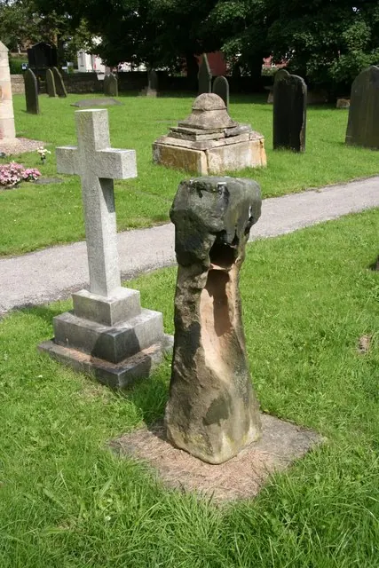
© Richard Croft · Geograph · CC BY-SA 2.0
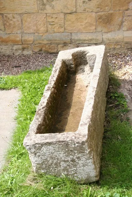
© Richard Croft · Geograph · CC BY-SA 2.0
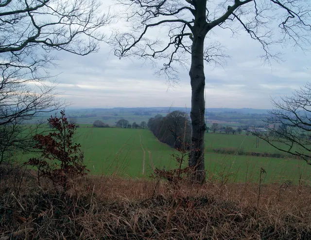
© Steve Fareham · Geograph · CC BY-SA 2.0
Images © their respective photographers, licensed under CC BY-SA 2.0 and reused here with attribution. Photographs depict listed buildings, churches and monuments near this settlement and may show neighbouring villages.
Data derived from the Open Domesday project (opendomesday.org), based on the Domesday Book dataset compiled by Professor J.J.N. Palmer and team. The Domesday Book (1086) is in the public domain.
Found an inaccuracy? [email protected]