Stoney Middleton in the Domesday Book (1086)
The 1086 Domesday survey records the settlement of Stoney Middleton, entered under the hundred of Blackwell in Derbyshire.
Other Settlements in Blackwell
- Abney
- Ashford [-in-the-Water]
- Aston
- Bakewell
- Bamford
- Baslow
- Beeley
- Birchills
- Birchover
- Blackwell
- Bradwell
- Bubnell
- Burley
- Burton
The Meaning of the Name
The name Stoney Middleton is of Anglo-Saxon origin. Its final element derives from the Old English word tūn, a farmstead or village, while the first element appears to represent the middle. Taken together the name probably meant something close to ’the middle farmstead’.
Remarkably, the name has changed little since 1086, when the Domesday scribes wrote it as Stoney Middleton.
Listed Buildings Near Stoney Middleton
Historic England records 35 listed buildings within about a mile of Stoney Middleton. Listing protects structures of special architectural or historic interest, graded I (exceptional), II* (particularly important) and II.
Grade II*
- Church of St Martin - 0.43 km
- Stoke Hall - 0.8 km
Grade II
- Walls, Steps and Fountain to South and West of the Hall - 0.37 km
- The Hall - 0.38 km
- Knouchley Farmhouse - 0.4 km
- Churchyard Tomb Three Metres East of St Martins Church - 0.41 km
- Roman Bath House - 0.43 km
- Spa Cottage - 0.46 km
- Denham Cottage and Attached Outbuilding - 0.47 km
- 3, the Nook - 0.51 km
- Brook Cottages - 0.52 km
- Brook House - 0.52 km
- Village Cross - 0.53 km
- The Old Malt House - 0.54 km
- Wesleyan Reform Chapel - 0.62 km
- Toll House Fish and Chip Shop - 0.63 km
- Pine View - 0.65 km
- Milestone at Os238748 - 0.66 km
- Tythe House - 0.7 km
- The Old Vicarage - 0.71 km
- The Rookery and Stoke Hall Cottages - 0.73 km
- 2 Lowside - 0.93 km
- Toll Bar Cottage - 0.95 km
- Jasmine Cottage - 0.96 km
…and 11 more listed structures in the area.
Scheduled Monuments Near Stoney Middleton
Scheduled monuments are nationally important archaeological sites given legal protection. 3 lie within roughly a mile of Stoney Middleton:
- Froggatt Bridge - 0.98 km
- Calver weir and water management system 200m north east of Stocking Farm - 1.13 km
- Newburgh Level at Red Rake Mine - 1.44 km
Stoney Middleton Today
Today Stoney Middleton lies within the administrative area of Derbyshire Dales, and the settlement recorded a population of 518 at the 2021 census. Nine and a half centuries separate that figure from the small rural community the Domesday survey recorded here in 1086.
Read more about modern Stoney Middleton on Wikipedia .
Nearby Domesday Settlements
Other places recorded in the 1086 survey within a few miles:
Heritage Around [Stoney] Middleton
Photographs of churches, listed buildings and monuments in the vicinity, contributed by volunteers to the Geograph project and reused here under a Creative Commons licence.
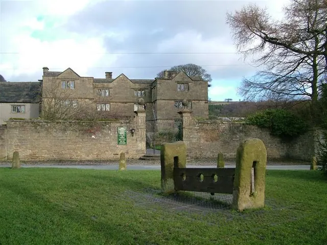
© Stephen G Taylor · Geograph · CC BY-SA 2.0
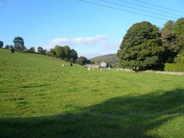
© Alan Heardman · Geograph · CC BY-SA 2.0
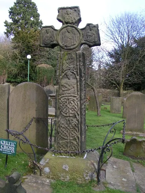
© Dave Dunford · Geograph · CC BY-SA 2.0
Images © their respective photographers, licensed under CC BY-SA 2.0 and reused here with attribution. Photographs depict listed buildings, churches and monuments near this settlement and may show neighbouring villages.
Data derived from the Open Domesday project (opendomesday.org), based on the Domesday Book dataset compiled by Professor J.J.N. Palmer and team. The Domesday Book (1086) is in the public domain.
Found an inaccuracy? [email protected]