Stoke in the Domesday Book (1086)
Stoke is named in the Domesday Book, compiled by Norman commissioners in 1086, entered under the hundred of Blackwell in Derbyshire.
Other Settlements in Blackwell
- Abney
- Ashford [-in-the-Water]
- Aston
- Bakewell
- Bamford
- Baslow
- Beeley
- Birchills
- Birchover
- Blackwell
- Bradwell
- Bubnell
- Burley
- Burton
The Meaning of the Name
The origin of the name Stoke is not securely established from its modern form alone; like many settlement names in the North it likely combines an Old English or Old Norse personal name with a landscape term.
Remarkably, the name has changed little since 1086, when the Domesday scribes wrote it as Stoke.
Listed Buildings Near Stoke
Historic England records 8 listed buildings within about a mile of Stoke. Listing protects structures of special architectural or historic interest, graded I (exceptional), II* (particularly important) and II.
Grade II*
- Highlow Hall - 0.7 km
- Gateway to Highlow Hall - 0.7 km
Grade II
- Gate Piers and Flanking Walls South East of Garden House at Highlow Hall - 0.66 km
- Garden House to the west of Highlow Hall - 0.67 km
- Gate Piers, Flanking Walls and Wall Linking Highlow Hall and the Flanking Walls - 0.69 km
- Farm Outbuilding to the North East of Highlow Hall - 0.72 km
- Barn to the North East of Highlow Hall - 0.74 km
- Farm Outbuilding Attached to the North East End of the Barn to the North East of Highlow Hall - 0.75 km
Scheduled Monuments Near Stoke
Scheduled monuments are nationally important archaeological sites given legal protection. 15 lie within roughly a mile of Stoke:
- Cairnfield, 870m north east of Stanage House - 0.61 km
- Cairnfield 600m west of Highlow Hall - 0.71 km
- Cairn, 600m north east of Stanage House - 0.82 km
- Cairnfield 630m north east of Stanage House - 0.9 km
- Embanked stone circle known as Wet Withens, and adjacent cairn - 1.05 km
- Cairnfield and ring cairn 490m south of Offerton Hall - 1.18 km
- Cairnfield, 580m ENE of Stanage House - 1.22 km
- Cairn 880m south west of Leam Hall Farm - 1.25 km
- Cairnfield, 320m west of Leam Hall Farm - 1.26 km
- Cairn 720m north east of Lady Wash Farm - 1.27 km
…and 5 more.
Stoke Today
Today Stoke lies within the administrative area of Derbyshire Dales, and the settlement recorded a population of 27 at the 2021 census. Nine and a half centuries separate that figure from the small rural community the Domesday survey recorded here in 1086.
Read more about modern Highlow on Wikipedia .
Nearby Domesday Settlements
Other places recorded in the 1086 survey within a few miles:
- Abney - 2.0 km W
- Offerton - 2.0 km N
- Hathersage - 2.8 km NE
- Nether and Upper Hurst - 3.0 km N
- Eyam - 3.0 km S
- Shatton - 3.2 km N
Heritage Around Stoke
Photographs of churches, listed buildings and monuments in the vicinity, contributed by volunteers to the Geograph project and reused here under a Creative Commons licence.
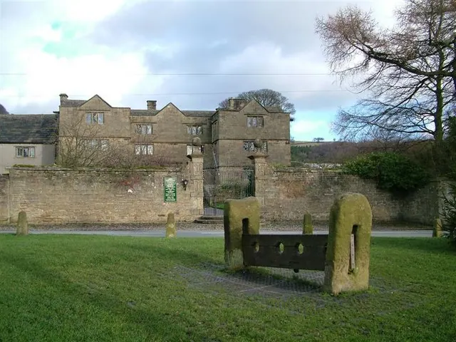
© Stephen G Taylor · Geograph · CC BY-SA 2.0
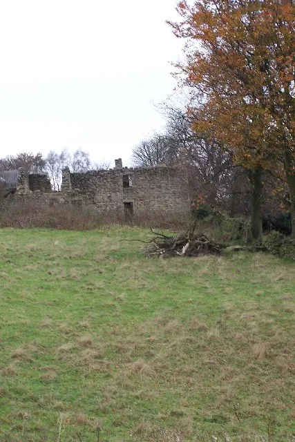
© Phil Berry · Geograph · CC BY-SA 2.0
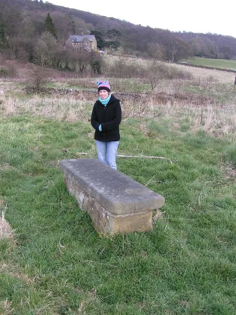
© Dave Dunford · Geograph · CC BY-SA 2.0
Images © their respective photographers, licensed under CC BY-SA 2.0 and reused here with attribution. Photographs depict listed buildings, churches and monuments near this settlement and may show neighbouring villages.
Data derived from the Open Domesday project (opendomesday.org), based on the Domesday Book dataset compiled by Professor J.J.N. Palmer and team. The Domesday Book (1086) is in the public domain.
Found an inaccuracy? [email protected]